How to get to (and go home from) the Northern Terminus of the Continental Divide Trail
Logistics for thru-hikers to get to-and-from the Continental Divide Trail Northern Terminus in Glacier National Park, Montana
September 5th, 2025
Home > Learn Outdoor Skills
Getting to the northern terminus of the Continental Divide Trail is challenging. It’s in a remote corner of northern Montana, but it’s also in Glacier National Park, so plenty of people go that way. Whether you're finished with your hike and headed home, or starting your CDT hike southbound or Pacific Northwest hike eastbound, here are the logistics you need to get to-and-from Chief Mountain trailhead terminus.
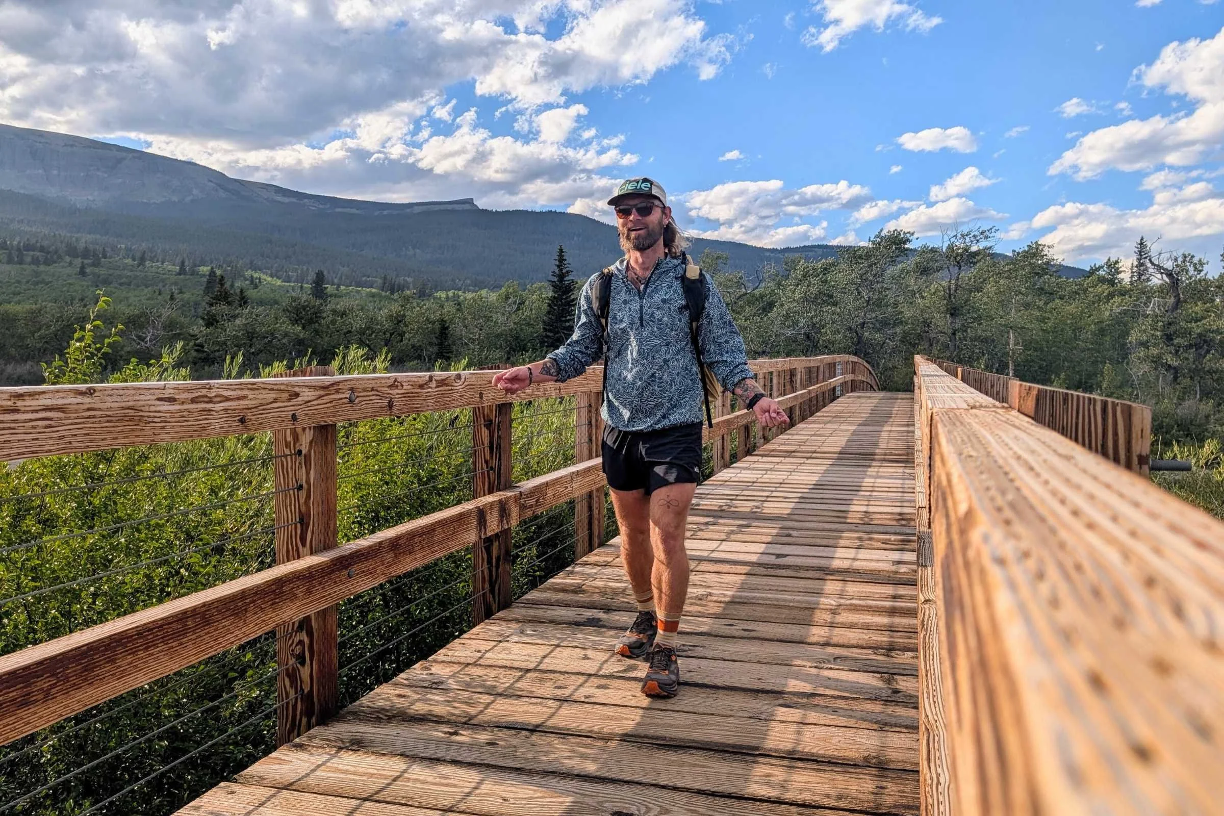
We’ve thru-hiked the CDT northbound and southbound, and have also been to the CDT’s northern terminus at Chief Mountain for starting a westbound thru-hike of the Pacific Northwest Trail as well as to the nearby Waterton Lakes for a CDT southbound hike and Great Divide Trail northbound hike.
To figure out how to get to (or go home from) the northern terminus of the CDT at the Chief Mountain border crossing, we started by finding the closest airport or train station and taking it one step at a time. And after finishing their thru-hikes, northbound CDT hikers do the same thing in droves at the end of every thru-hiking season, but they do it in reverse.
Whether you're finishing your thru-hike or starting a southbound thru-hike, here is how to get to and from the northern terminus of the Continental Divide Trail, which is also the Eastern Terminus of the Pacific Northwest Trail.
We create reader-supported, mission-driven objective gear reviews that are independently selected by our editors. This story may contain affiliate links, which help fund our website. When you click on the links to purchase gear, we may get a commission — without costing you an extra cent. Thank you for supporting our work and mission of outdoor coverage for every body! Learn more.
Quick Details
Closest Airport: Glacier Park International Airport, Kalispell, Montana
Closest Train Station: East Glacier Park Amtrak Station, East Glacier Park, Montana
Order of operations for southbounders:
Get to Glacier National Park via plane to Kalispell or train to East Glacier, MT
Get backcountry permits from permit office
Shuttle or get a ride to Chief Mountain border crossing (the Belly River trailhead)
Order of operations for northbounders:
Finish at Chief Mountain or Waterton Lakes
Shuttle or get a ride from Chief Mountain border crossing at the Belly River trailhead
Train from East Glacier or fly from Kalispell, MT
Logistics
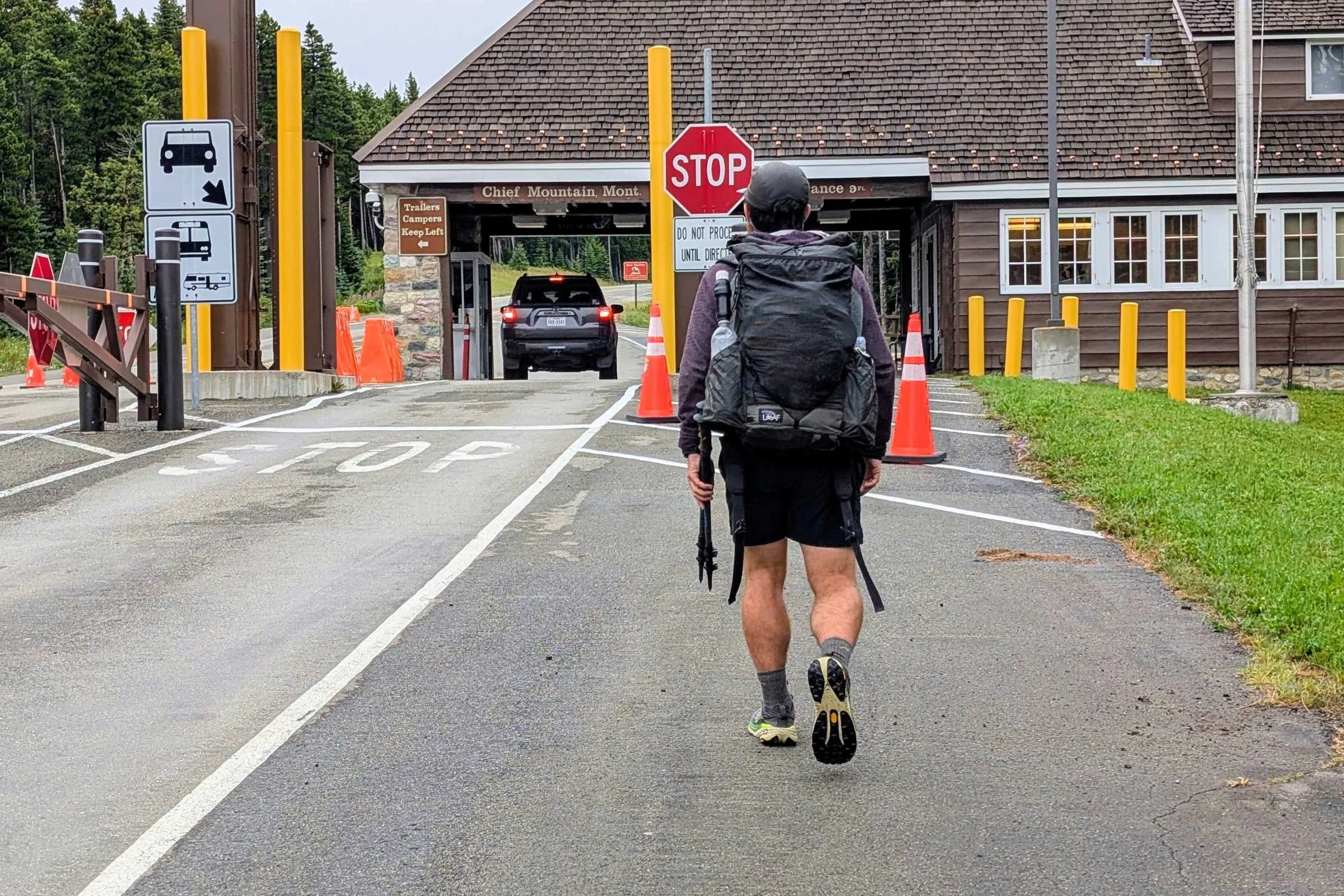
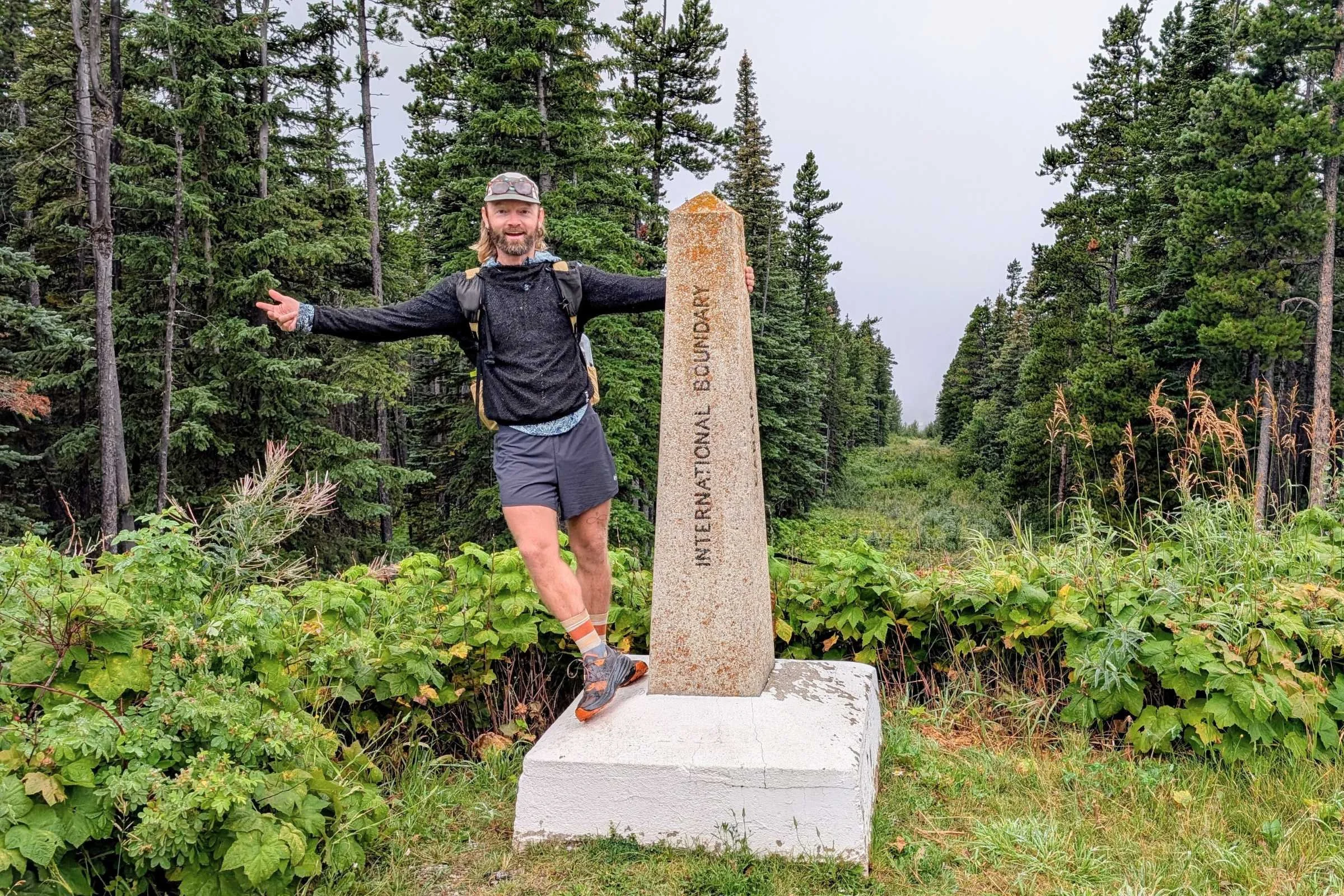
The Chief Mountain border crossing is what many CDT hikers and GDT hikers may use to get to and from Canada
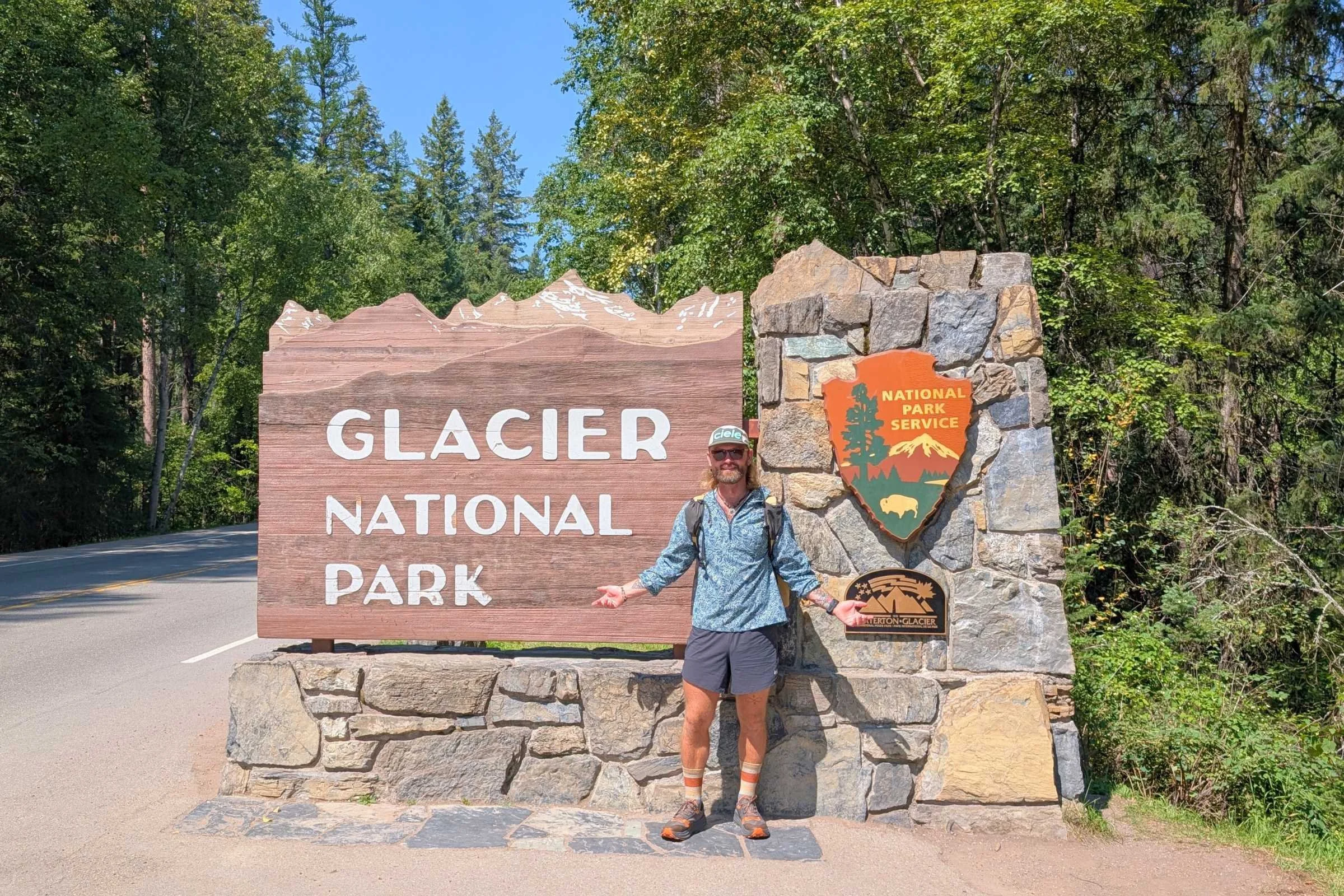
The Continental Divide Trail has two northern terminuses: one is at Chief Mountain Customs car border crossing, and the other is on the Canadian border at Waterton Lakes. As of publishing, U.S. citizens may cross into Canada at Waterton Lakes, according to the Continental Divide Trail Coalition. If you’re finishing your thru-hike at Waterton Lakes in Canada and headed back to the US, the closest large airport is in Calgary, but you'll have to find a ride there. You can also cross back into the US at Chief Mountain Border Crossing.
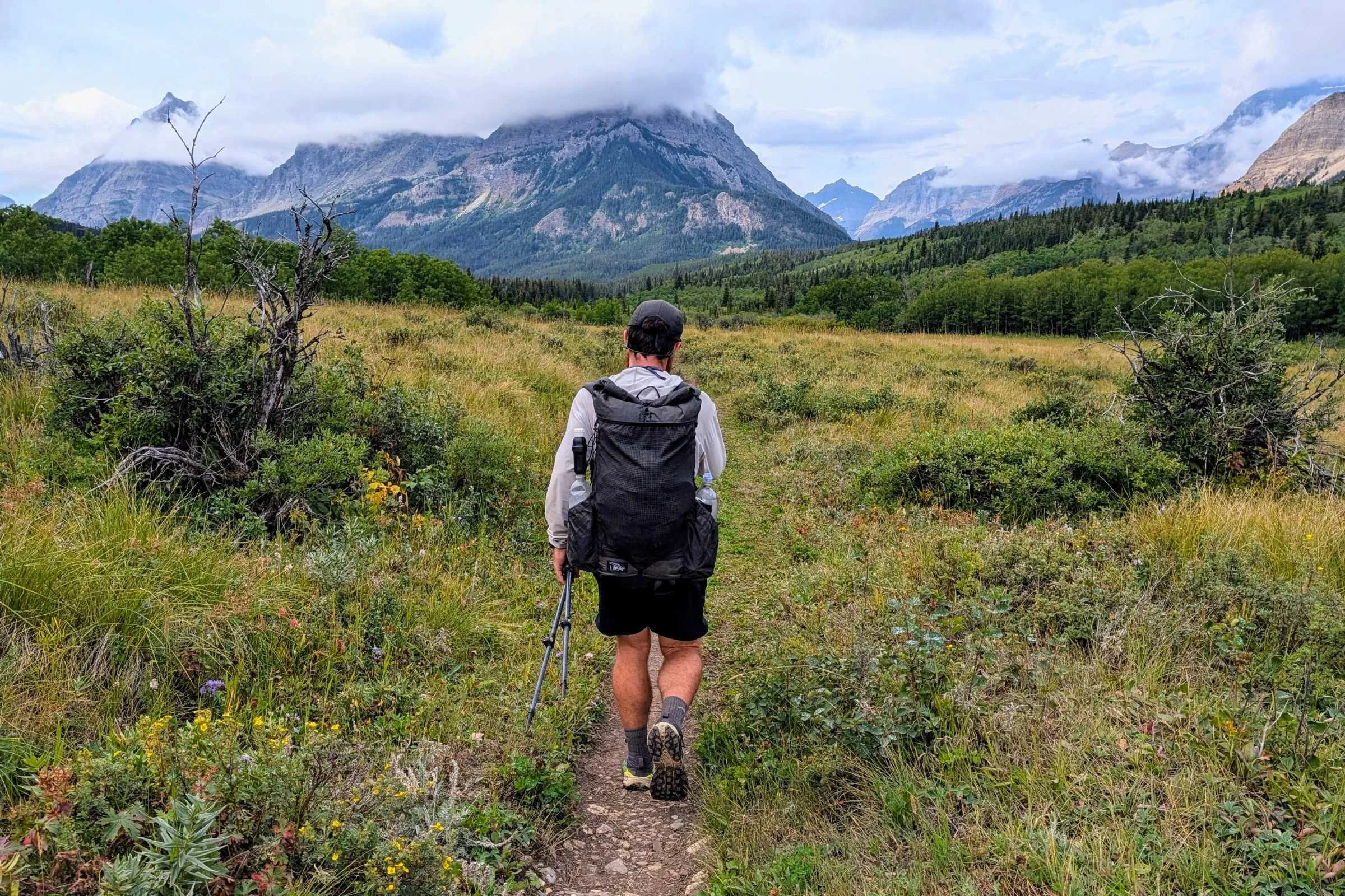
The Chief Mountain border crossing is north of East Glacier on State Highway 17. To get to Chief Mountain from East Glacier, you take Highway 49, to Highway 89, to Highway 17. You take these roads in reverse to get from Chief Mountain to East Glacier.
East Glacier Park is a small outpost just outside of Glacier National Park on the Blackfeet Nation. There is a bakery and hostel, Brownies, and also the Looking Glass Hostel. To start your southbound thru-hike, you should plan to get to East Glacier and make a plan from there.
Permits

A permit is required for the established backcountry campsites in Glacier National Park
You need a permit to camp in the Glacier National Park Backcountry. From East Glacier, you can get a ride to a backcountry permit office at St. Mary’s visitor center or Two Medicine Ranger Station (more on getting rides there below). You can obtain backcountry permits at either of these locations. You can also hike to the Two Medicine Ranger Station from East Glacier.
Permits are issued starting at 7 am every day. The ranger who issues permits will help you create an itinerary that works for your hiking speed to backpack across the park.
There are also other backcountry permit offices in Glacier National Park (Apgar Permit Center and Many Glacier Ranger Station) but we’ve found that Two Medicine and St. Mary’s are the most helpful for thru-hikers because they’re closer to the CDT and PNT. For more information about Glacier National Park backcountry permits, click here.
Where to fly to get to the northern CDT and eastern PNT terminus

The iconic grizzly bear in the Glacier Park International Airport in Kalispell, MT.
To get to East Glacier, MT, the closest town to the CDT's northern terminus, you can fly to Glacier Park International Airport in Kalispell, MT. After you get to Kalispell, you can walk 12 miles, take an airport shuttle, or hitchhike to the Whitefish Amtrak Station, where you can take a train to East Glacier. Uber and Lyft in Whitefish and Kalispell are also a possibility.
You can also drive to East Glacier.
When to buy tickets
We’ve booked flights to Kalispell, MT, as little as 5 days in advance. If you book your flight sooner, it will be less expensive, but flying to Kalispell is less expensive than we thought it would be.
Taking an Amtrak train to Glacier National Park
You can take Amtrak’s Empire Builder Train Line to Glacier National Park from as far west as Seattle and as far east as Chicago. This will take longer than flying, but the train stops in East Glacier, where it’s only a short drive to the Chief Mountain terminus.
Ground transit between Kalispell and East Glacier

The author hitchhiking to West Glacier. Hitchhike at your own risk!
Glacier National Park operates a free shuttle that will take you from Apgar Ranger Station to St. Mary’s Visitor Center. East Glacier is just south of St. Mary’s Visitor Center. There are also private shuttle services in the area, and we’ve had success hitchhiking to East Glacier. See our thru-hiker's guide to hitch hiking for tips and hitch hike at your own risk.
As we mentioned above, you can also take the Amtrak from Whitefish, MT, to East Glacier. This train leaves from Whitefish heading east every day at 7:40 am, so plan accordingly if you want to do this. You may have to spend the night locally.
Tricks to get Glacier National Park walkup permits
Around 30% of backcountry permits are held for walkups. We’ve always had success getting walk-up permits by showing up at the backcountry permit office when they open. Be friendly to the park staff and explain to them what you’re doing, but don’t expect special treatment because you’re a thru-hiker. The park rangers have met a lot of thru-hikers, and they’re accommodating, but their job is to ensure that everyone they issue permits to is prepared and safe.
Don’t expect backcountry rangers to drop everything to make your time in this popular national park special. They’ll help you, but only to the extent that they can. If you get to the permit office at 7 am, when it opens, there will be more backcountry campsites available so you’ll get the best hiking itinerary as possible.
Early Access Lottery
Around 70% of wilderness camping permits are awarded through the early access lottery. If you’re hiking southbound and want to make sure you get the itinerary you want, you can also enter the lottery, with drawings in March and April, on Recreation.gov. Winning the backcountry lottery means you get a date and time to build your itinerary online; there is no guarantee that you’ll get your itinerary just because you won the lottery. Note that the online system limits your daily mileage between campsites.
Alternative itineraries
If you don’t want to deal with the border crossing at Waterton (and you want to experience more of the incredible scenic beauty that is Glacier National Park), there are other exit/entry points. For example, as a CDT northbounder, you could touch the border at Waterton Lake and turn around, then:
Hike west on Boulder Pass Trail to Brown Pass
Hike southwest on Bowman Lake Trail
Hitchhike or walk to Polebridge Ranger Station
For CDT hikers, this is essentially the Pacific Northwest Trail route.
Bonus – you get to experience the magic of Polebridge, MT! Bakery (with huckleberry bear claws), restaurant, hostel, rental cabins, and the occasional outdoor evening movie make it a worthy stop.
If you really don’t want to stop hiking as a northbounder, and you’re early enough in the season, just keep going north on Canada’s Great Divide Trail!
Why you should trust us
Treeline Review writer Sam Schild thru-hiked the Continental Divide Trail southbound in 2021. He is currently thru-hiking the Pacific Northwest Trail Westbound.
He has thru-hiked the Pacific Crest Trail, Continental Divide Trail, Appalachian Trail, Grand Enchantment Trail, Arizona Trail, and the Colorado Trail twice.
You can read more about Sam on his author page or his website.
In addition to Sam's expertise (and testing that this method works), many of Treeline Review's writers have thru-hiked the Continental Divide Trail. Our co-founders, Naomi Hudetz and Liz Thomas, have thru-hiked PNT and GDT together and the CDT (separately) as well and cite their experience on that trail as one of the inspirations for building Treeline Review. Naomi has provided a fair amount of trail support over the years, and has been to the Belly River Trailhead more times than she can count via rental car, hitchhiking, shuttle van, and her own car.


