
Grafton Loop Trail Hiking and Backpacking Guide
A 37-mile loop with backcountry campsites, above-treeline hiking, and incredible views of Maine and New Hampshire
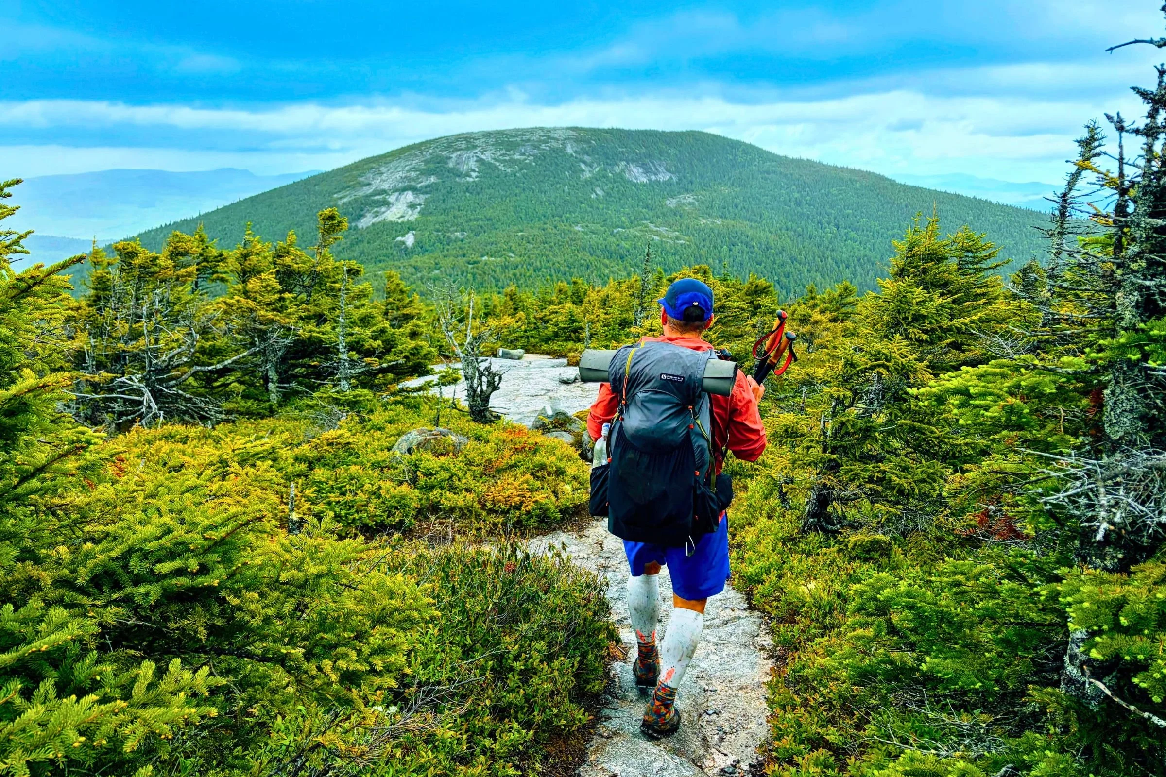
October 15, 2026
Home → Trip Guides → Backpacking
Distance: 37 miles
Days: 2-4
Elevation: 14,000’ gain and loss
Best season: Summer and early fall
Permits: None
Difficulty: Moderate to Difficult
Background
The Grafton Loop Trail (GLT) is a very challenging day hike in the Northeast, but it shines most as an excellent multi-day backpacking loop. It’s a 37-mile loop hike with 14,000’ gain and eight established campsites. The trail was completed in 2007 after six years of trail-building efforts, with funding from the Maine Outdoor Heritage Fund and the federal Recreational Trails Program.
With a mix of wooded dirt trails, steep rocky climbs, and a slab climb up to East Baldpate Mountain, this hike exploring the Mahoosuc Range offers a little bit of everything. And this trail rewards hikers with two gorgeous above-treeline mountain summits and some long views on most of the eight peaks. The views on this route are outstanding, particularly for the tree-covered Northeast. And since Grafton Notch cuts straight through the Mahoosuc Range, hikers are offered amazing views with a sharp contrast between the valley and the mountains, with Old Speck (4,170’) towering above and the trail’s southern crossing of the Bear River (705’) below.
The GLT hits 8 summits on its loop, including Old Speck, Maine’s fourth-highest peak and on the New England 67 4000 Footers list, and East and West Baldpate, both on the New England Hundred Highest list. Backpacker Magazine lists the GLT as one of their 10 Best Loop Hikes in America. People can complete this route in one day, but it’s an ultramarathon requiring a lot of time and effort (the Fastest Known Time is 7 hours, 45 minutes). Therefore, this route is perfect for splitting up over 2-4 days.
I completed a Grafton Loop Trail thru-hike in July over 2 days, camping overnight at Lane Campsite.
Land acknowledgement
We would like to begin by acknowledging that the land on which this hike is located, the N’dakinna, is the unceded territory of the Wabanaki (Dawnland Confederacy), which is the ancestral homeland of the Abenaki, Pennacook, and Wabanaki Peoples, past and present.
We acknowledge and honor with gratitude the land and waterways and the Indigenous peoples who have stewarded N’dakinna throughout the generations and continue to do so to this day.
If you’d like to take material steps to recognize our access to stolen Indigenous land, you could do so through a voluntary land use tax by donating to one of the local Maine and White Mountains Indigenous tribes, such as the Cowasuck Band of the Pennacook-Abenaki People or the Sovereign Koasek W8banaki Band.
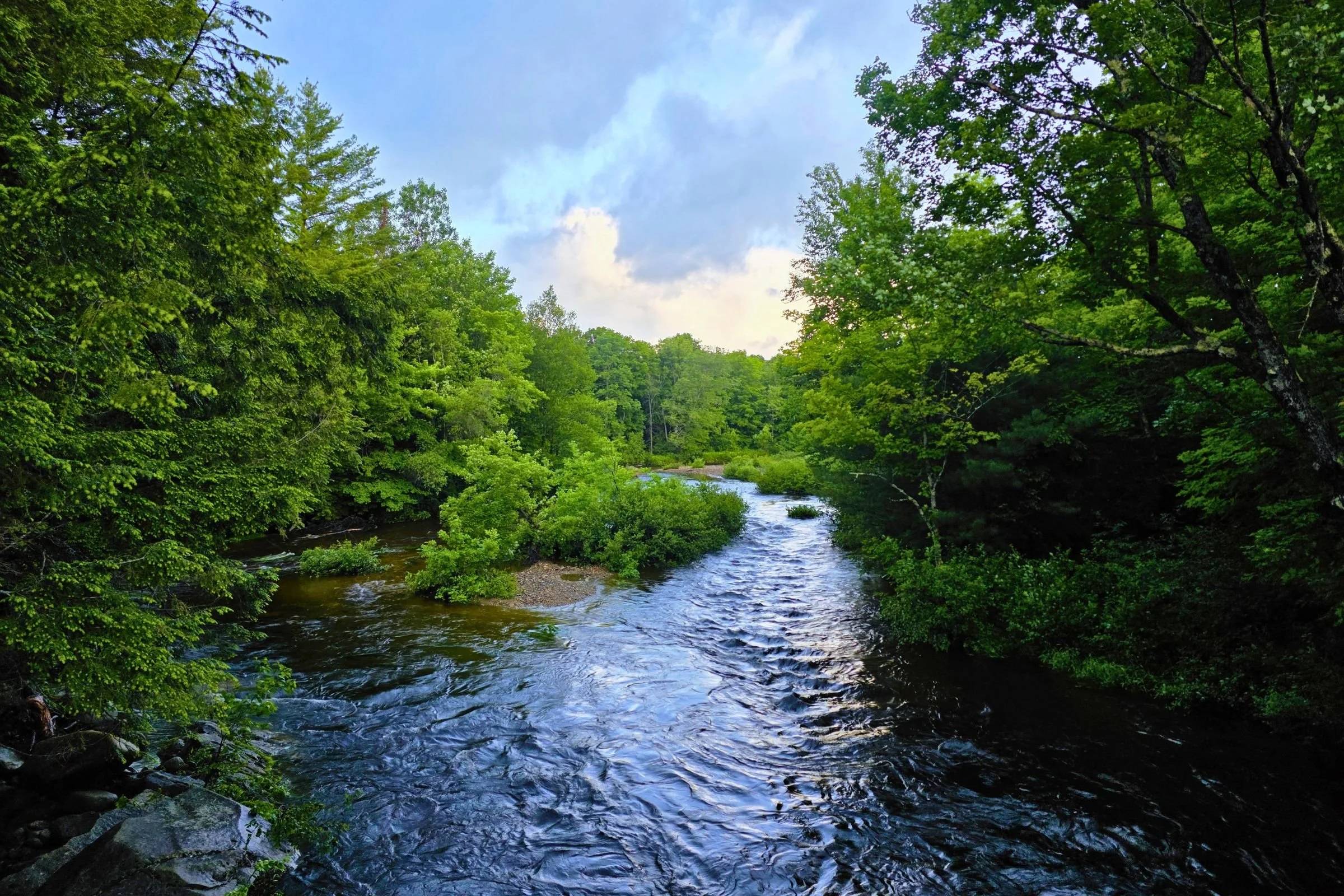
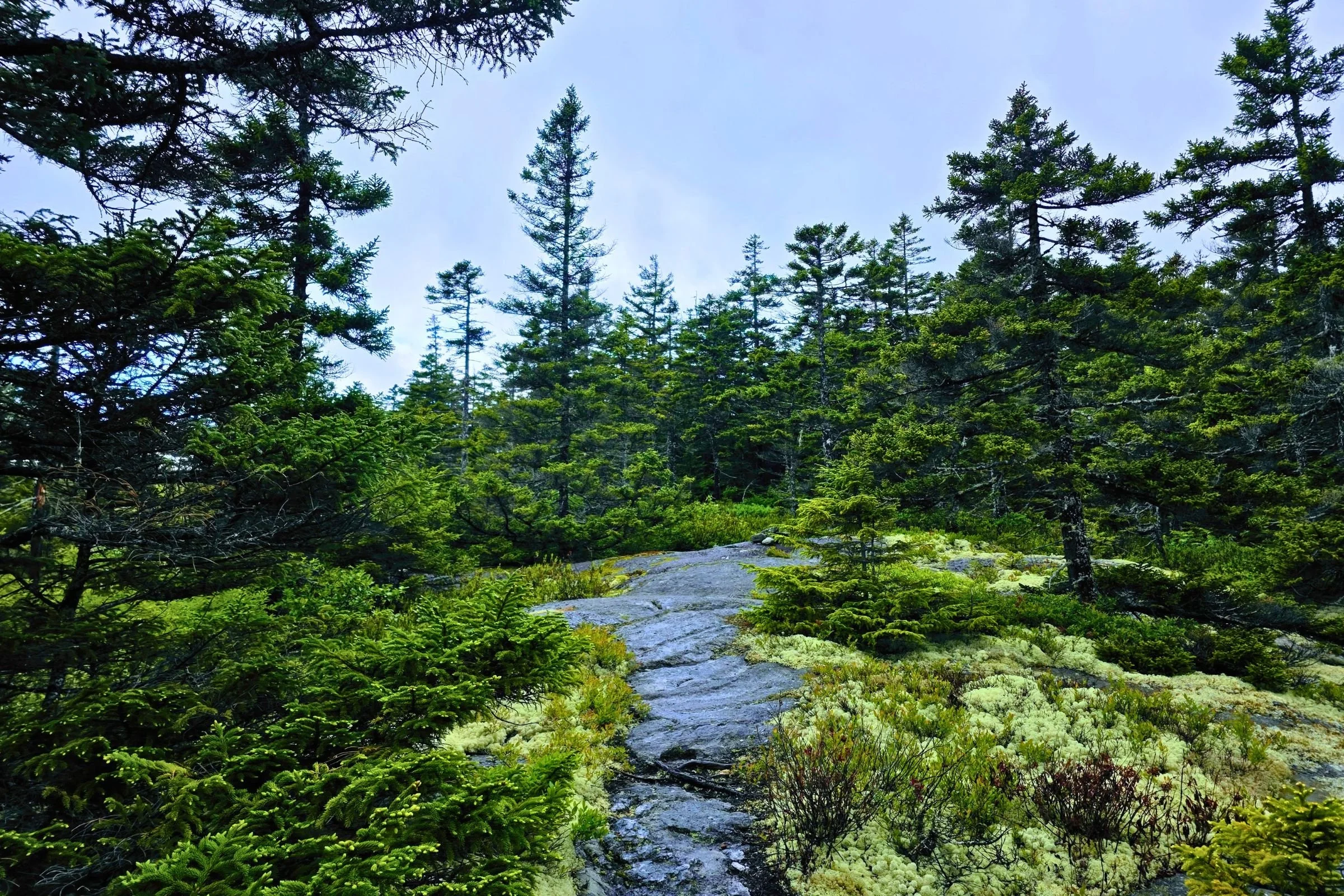
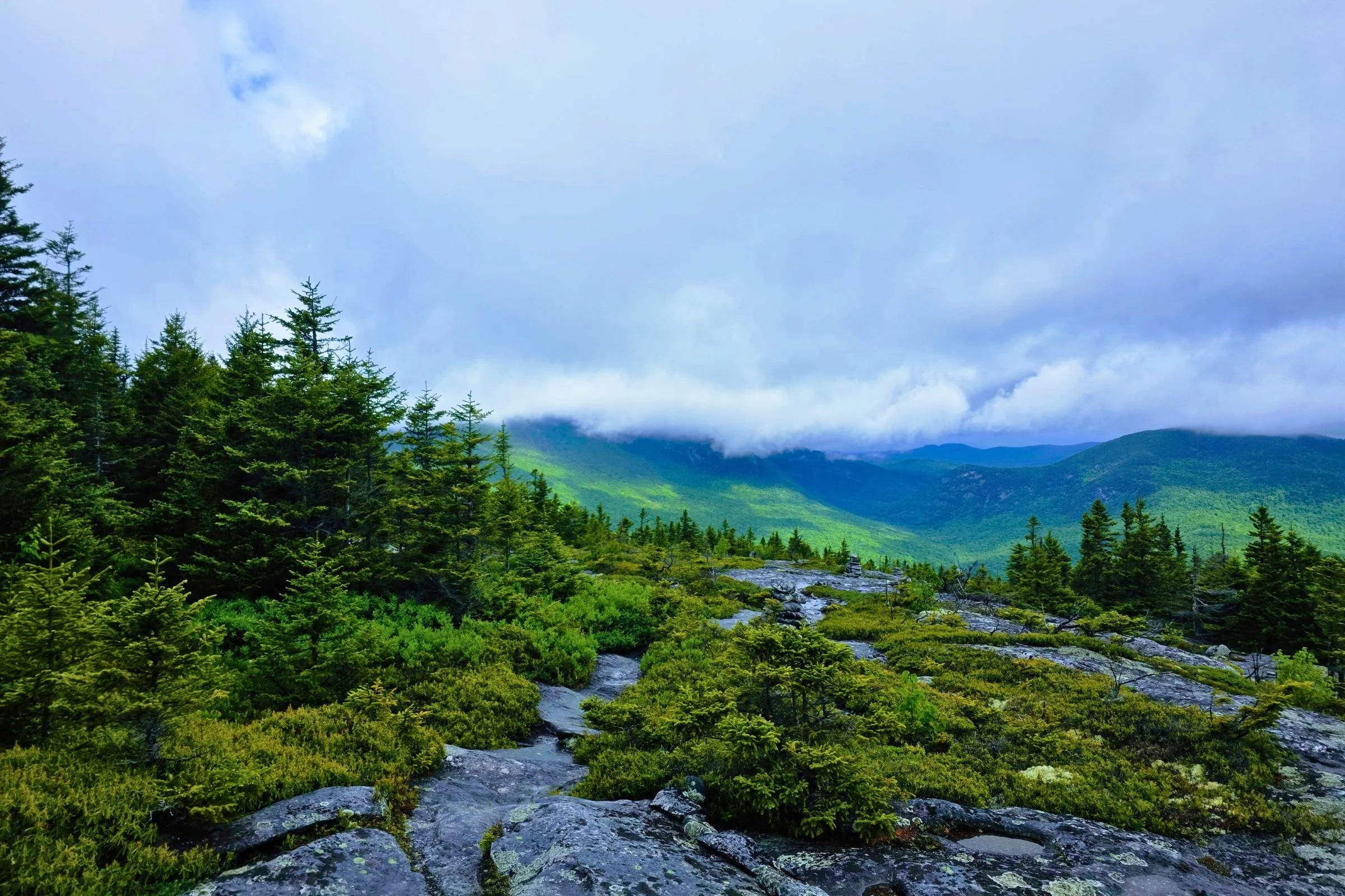
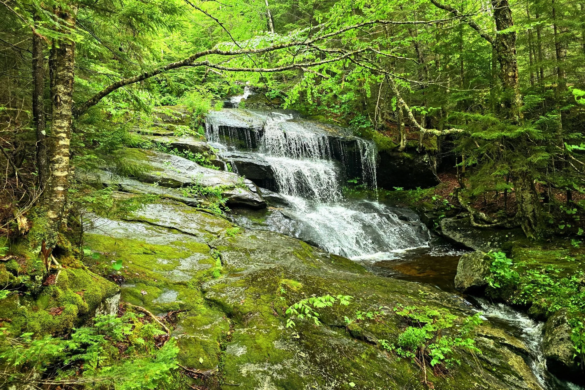
Gallery of photos
Highlights
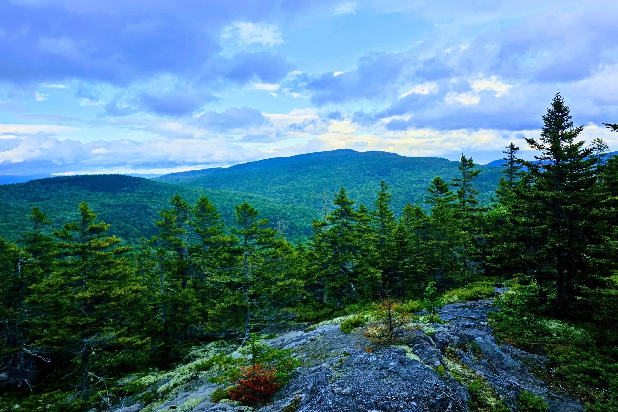
Frequent breathtaking mountain views along the route
Completing a 7-mile section of the Appalachian Trail
Summit one of the New England 67 4000 Footers (with a viewing tower at the top) and two of the New England Hundred Highest
The loop has eight established campsites, each with a privy
Above-treeline hiking in an alpine environment
Since it’s a loop, it’s easy to do solo or with only one car
Challenges
The route has a lot of elevation changes that are sharp ups and downs, so gain and loss are hard-won
There are sections of trail that are very rocky
There is a 0.5-mile section on the climb to East Baldpate that is an open rock Class 2+ slab—the grade isn’t too steep, and the rock is textured for good traction, but it can be psychologically intimidating and more difficult with precipitation
The two parking lots for this loop hike can fill up on nice summer weekends
Gear List
Here is a quick list of the gear I used for backpacking the Grafton Loop Trail. For a more thorough discussion about my gear choices, read below.
| Grafton Loop Trail Gear | My Picks | More Options |
|---|---|---|
| Gear | ||
| Shelter | Zpacks Plex Solo | Best Ultralight Tents Best Backpacking Tents |
| Sleeping pad protection | 3 Mil drop cloth | |
| Backpack | Gossamer Gear Mariposa 60 Backpack | Best Lightweight Backpacks |
| Sleeping bag/ quilt | Katabatic Gear Alsek 22F Quilt |
Best Backpacking Sleeping Bags Best Backpacking Quilts |
Best Season
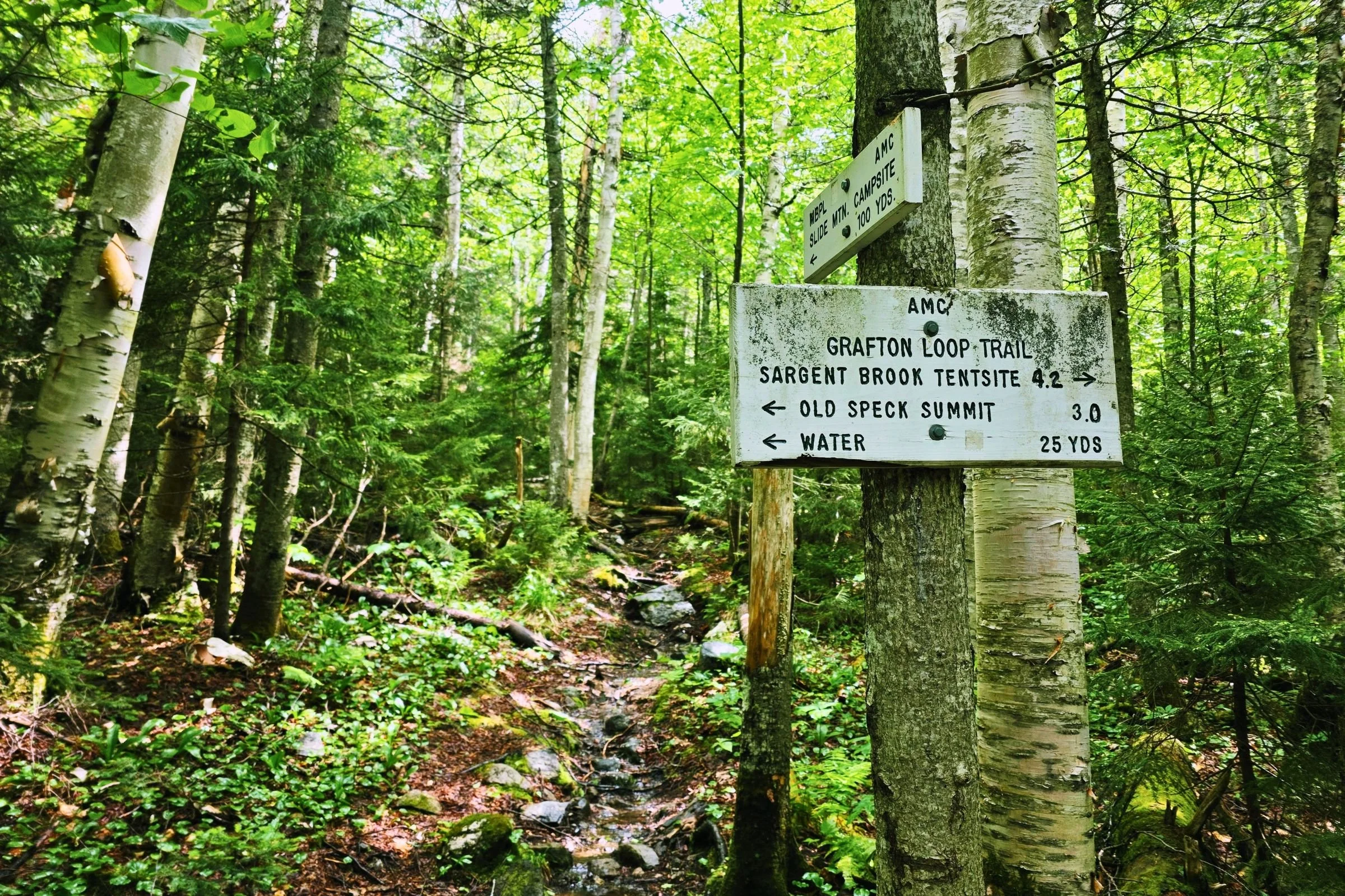
Frequent signage at intersections makes navigation relatively straightforward. Photo by Aubri Drake.
The GLT is best hiked July through September. Late May and June are a possibility, though trails in May often still have snow or are very muddy and fragile, and June tends to have biting black flies. Typically, August and September have less precipitation than June or July. October can work, but the chances of cold rain or snow increase as the month continues.
Difficulty and Skills
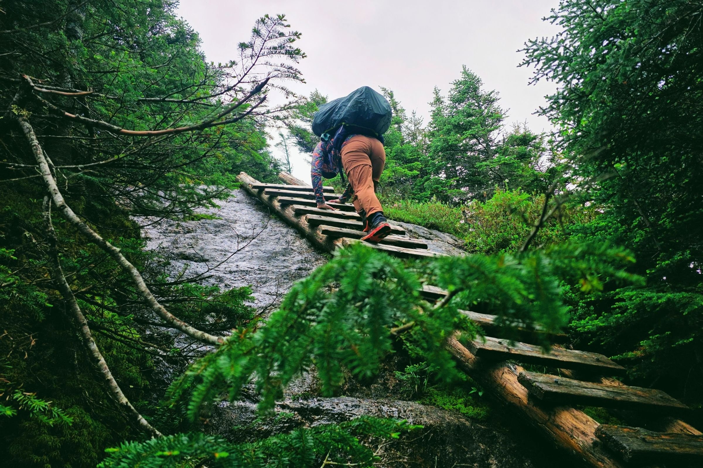
Log ladders and steel rebar at key points help reduce the difficulty of this loop hike. Photo by Aubri Drake.
Navigation
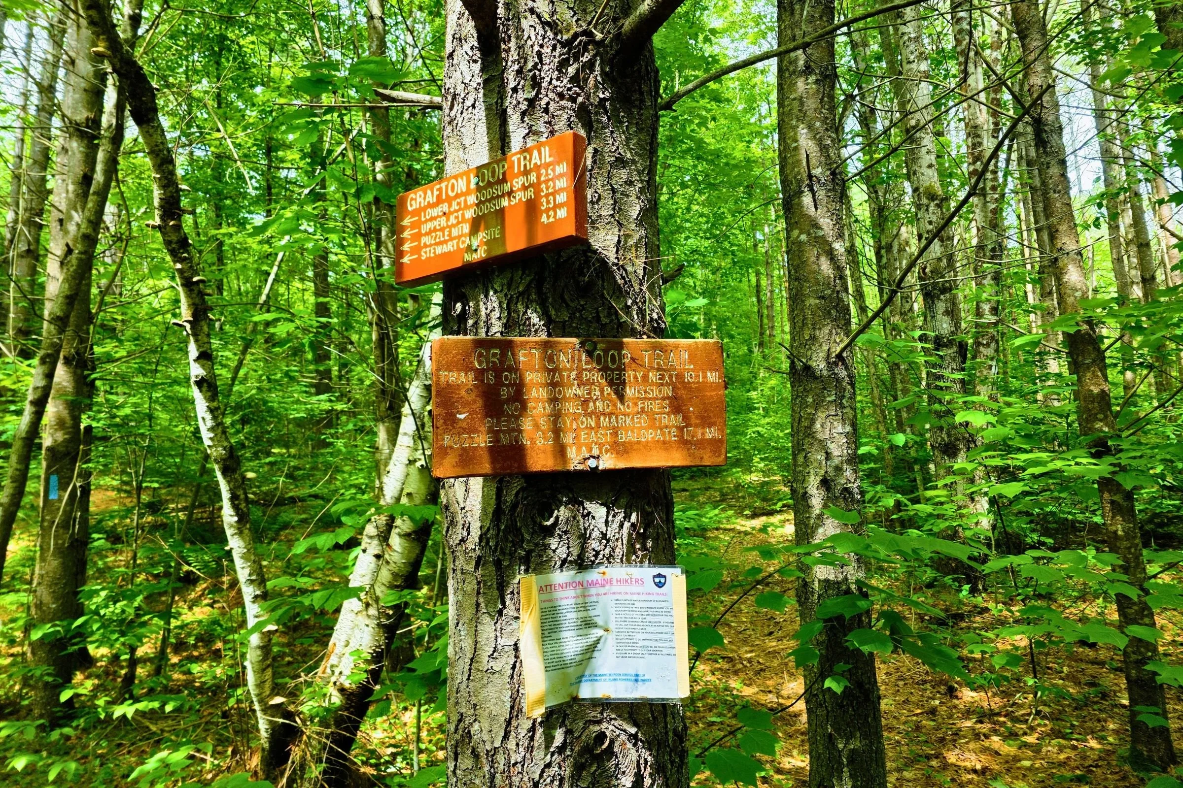
Navigation for this route is relatively straightforward. There are signs at most intersections for the Grafton Loop Trail. With a map or a basic GPS app, it’s easy enough to stay on track.
The GLT-only sections of trail are blazed light blue. The GLT/AT sections are blazed white.
It is worth noting that the trail off East Baldpate was very challenging to find, since there was no sign or visible footpath, and the Appalachian Trail is highly trafficked compared with the GLT, so the trail split wasn’t clear without referencing a map.
Rough Terrain/Scrambling/Climbing
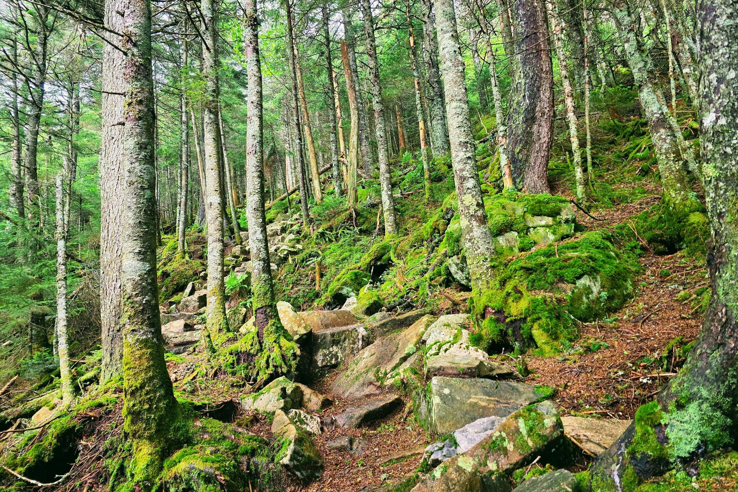
One of the rocky sections on the ascent of the Baldpates. Photo by Aubri Drake.
This route is a mix of Class 1 and 2, with one small section of Class 2+ approaching East Baldpate. The west side of the loop has more elevation gain and rockier trails, while the east side has smoother trail and more gradual elevation changes, once the Baldpates are done.
Elevation Gain/Elevation Loss
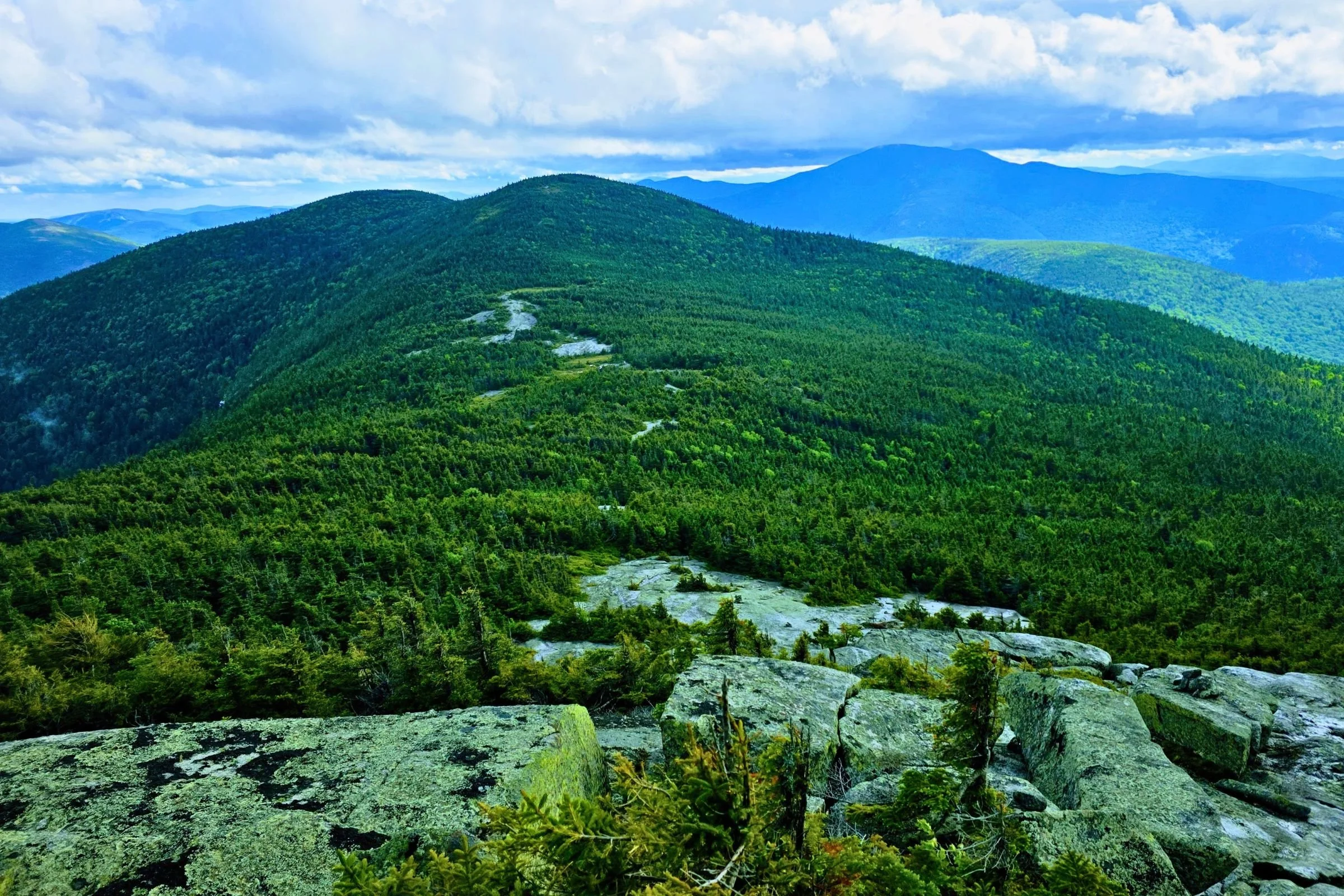
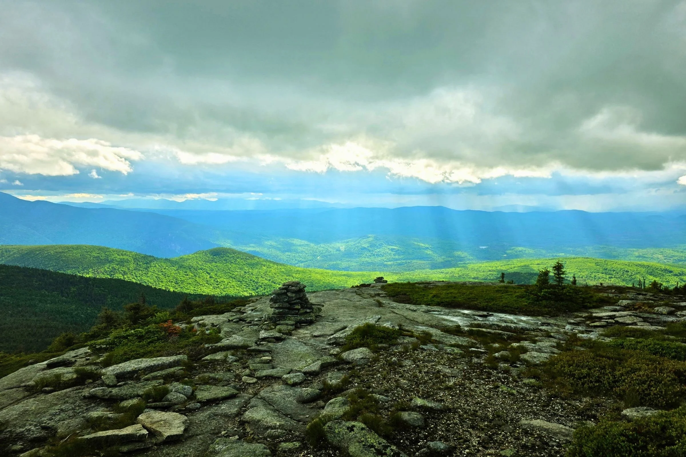
The elevation gain and loss may be steep, but you’ll have great views while you catch your breath! Photo by Aubri Drake.
This route is emblematic of the Appalachian Trail in the White Mountains and the Mahoosuc Range. The elevation changes are fairly sharp, making us work hard for each foot gained or lost. While there are definitely rocky sections, there is also a nice mix of dirt trails. There are quite a number of rock slabs, so being comfortable on them will be an advantage. This route is smoother overall than other iconic, nearby routes (such as the Mahoosuc Traverse, the Presi Traverse, or the Pemi Loop).
Weather
The weather in southern Maine is similar to that of the White Mountains. It can be wonderful or terrible. Please take the time to truly familiarize yourself with the mountains’ weather conditions in advance of your trip, looking not just at valley weather but also at reports for the mountain summits.
While there are few weather reports for these mountains specifically (I was able to click on the NOAA map to get one for Old Speck), Mt. Moriah and Mt. Cabot in the New Hampshire White Mountains are fairly nearby, to the south and west respectively, and have summit weather information available.
Flora and Fauna
Maine is home to many moose, and this area is no exception. Keep a sharp eye out for moose on the trail and on your drive to and from the trail. You may also see grey jays (also colloquially referred to as “camp robbers”). Though it is tempting, please do not encourage their begging behavior by feeding them. They have been known to become increasingly aggressive in their quest for hiker snacks. While I have seen black bear scat in this area a number of times, I've never seen bears on these trails. You may also see deer, tree and ground squirrels, mice, and porcupines.
Permits
No permits are required for this route. Parking is the biggest barrier. Please see Trailheads below for more information.
Route Summary
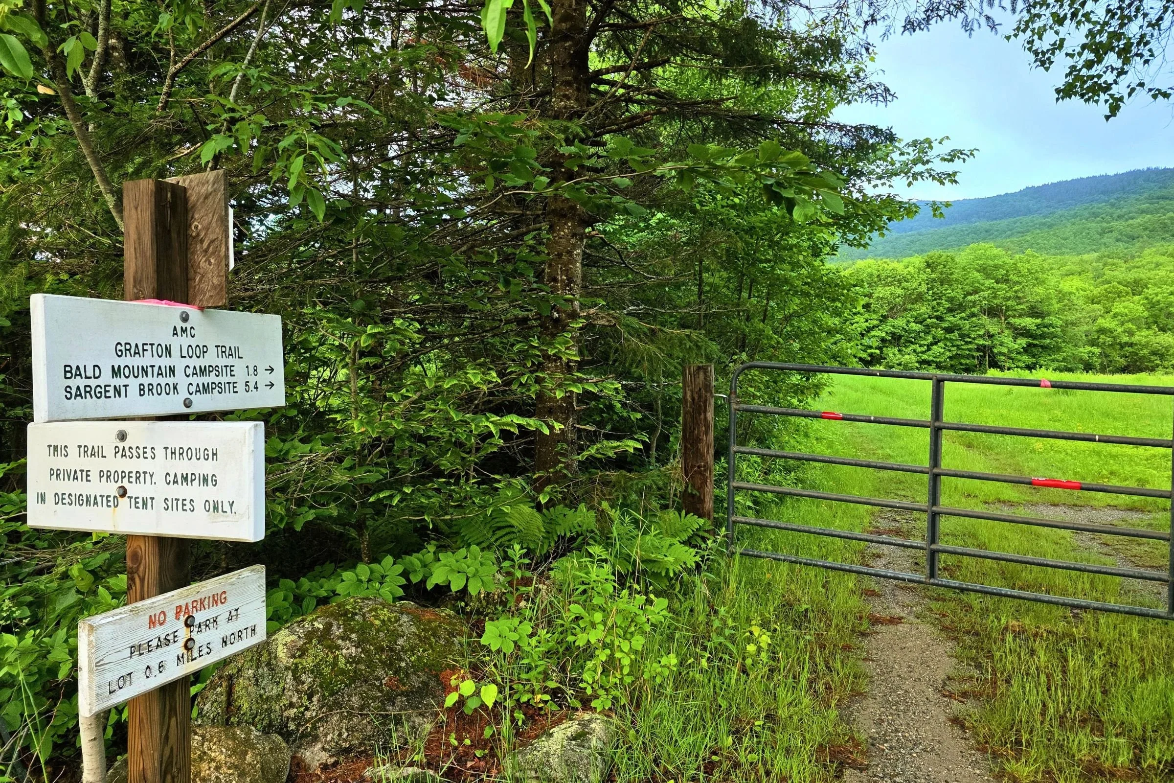
Where the GLT roadwalk heads back into the forest. Photo by Aubri Drake.
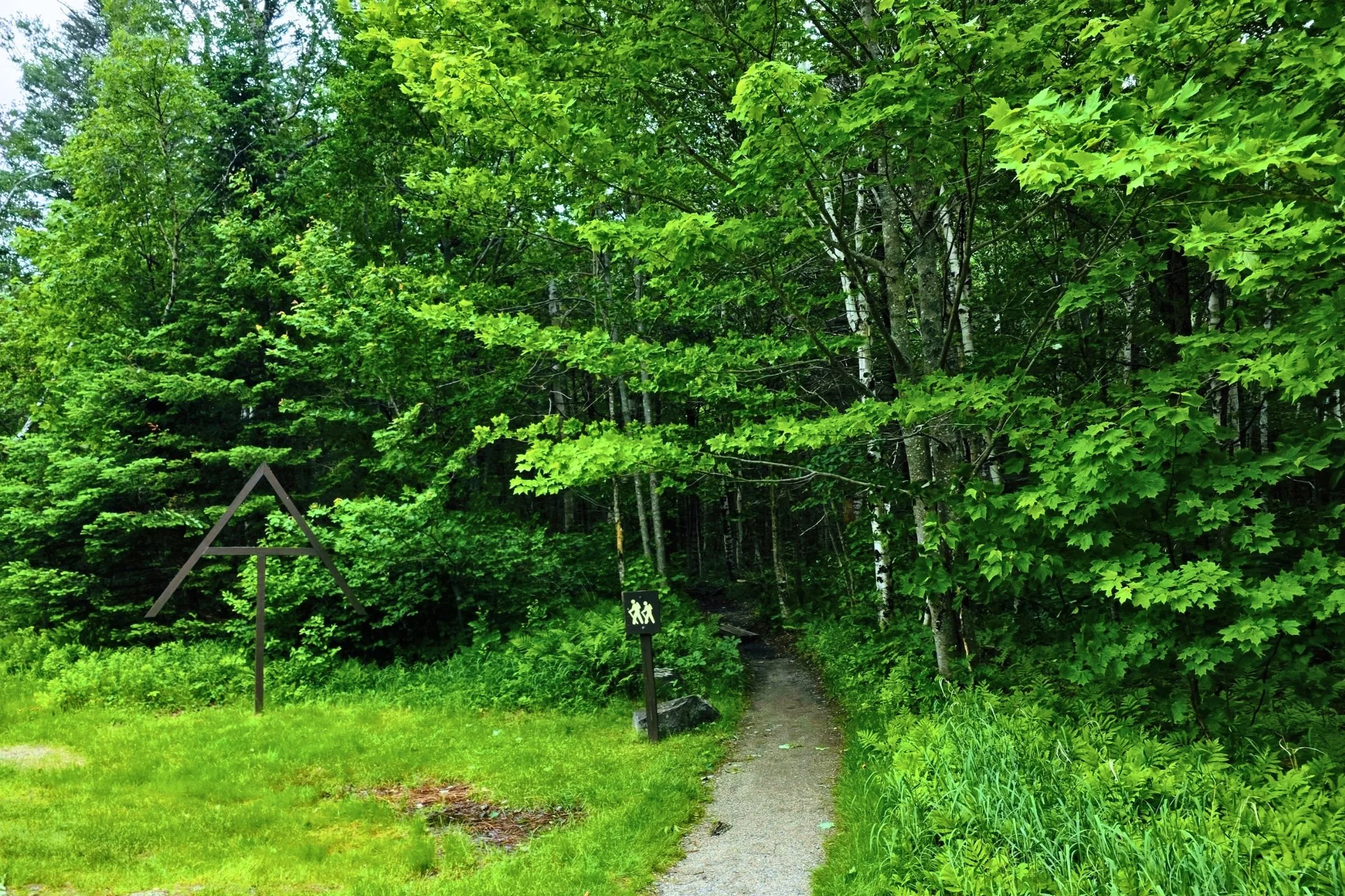
Starting from the Grafton Loop East Trailhead and heading clockwise, the trail has a short 0.6mi roadwalk on Route 26 before turning right at the gate. There’s an obvious sign here to point you in the right direction, though once you start walking through meadows and woods roads in this section, there aren’t frequent trail markings. Just keep following the well-trodden footpath.
If you started at the Appalachian Trail parking lot instead and are hungry, or just really want snacks, walking south on the flat road for another 0.3 miles past the turn brings you to the Puzzle Mountain Bakery Pie Stand on the side of the road, with homemade maple cookies, fruit pies, whoopie pies, and fruit jams. The stand is self-service on the honor system (accepts cash or Venmo), and there is cell service here on the southern end of the loop.
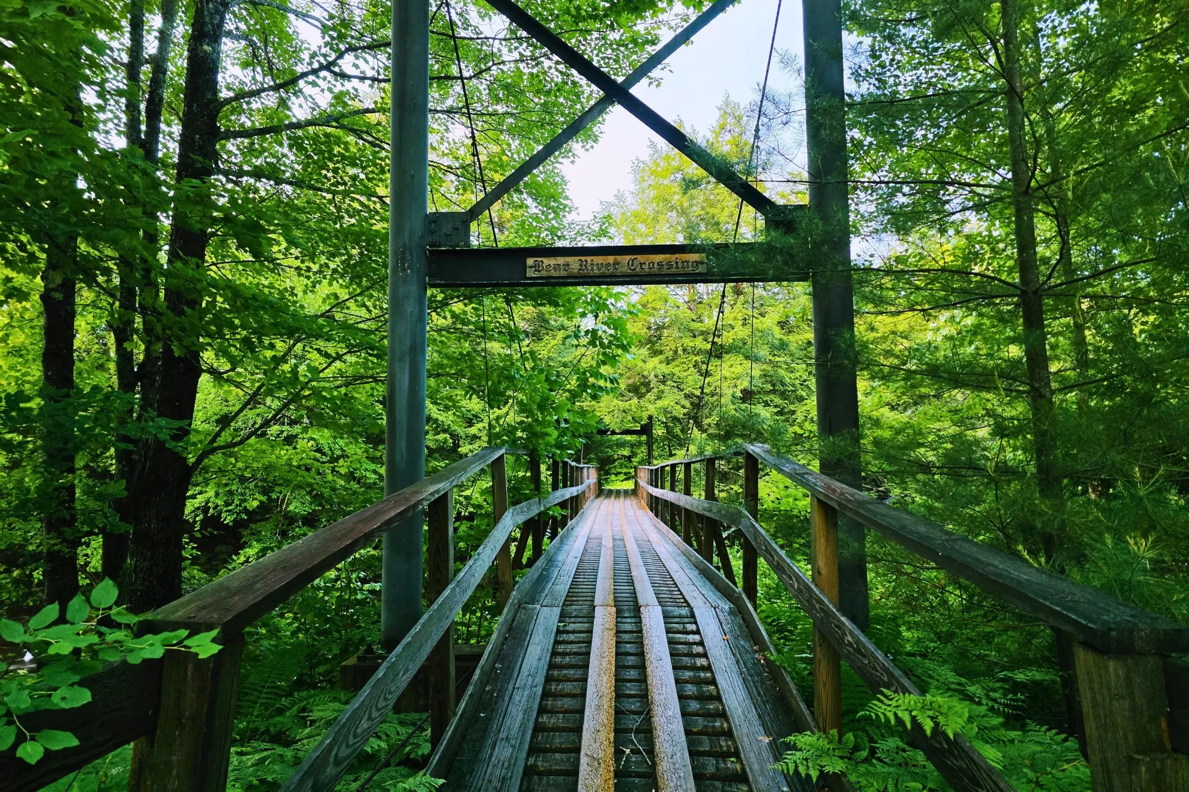
Soon after leaving the road, the trail goes over the Bear River via a sturdy bridge. There’s some walking through fields and on woods roads before the trail starts to climb at ~1 mile. The trail passes by the Bald Mountain Campsite at 1.5 miles and reaches the summit at 2.5 miles. Then it’s a bit of descent followed by a very steep climb, including a series of staircases, up to Stowe Mountain (4.2 miles). The trail smooths out for a bit and passes by Sargent Brook Campsite around 5.1 miles.
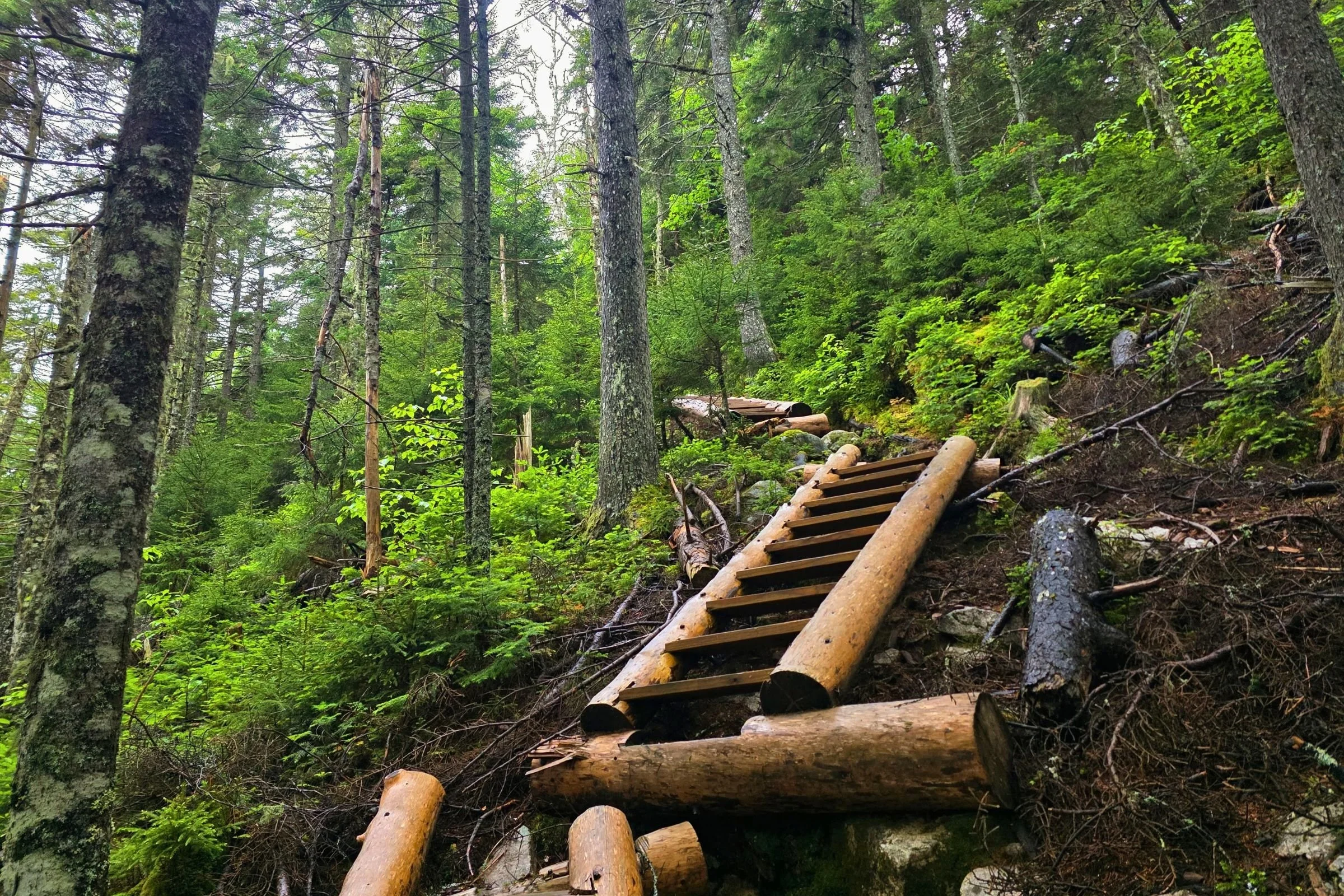
Staircases on the climb up to Stowe Mountain. Photo by Aubri Drake.
The trail climbs from here toward the summit of Sunday River Whitecap, one of the highlights of the west side of the Grafton Loop Trail. The ~0.3 mi above-treeline rock slab walk near the summit offers hikers beautiful, expansive views of the surrounding mountains.
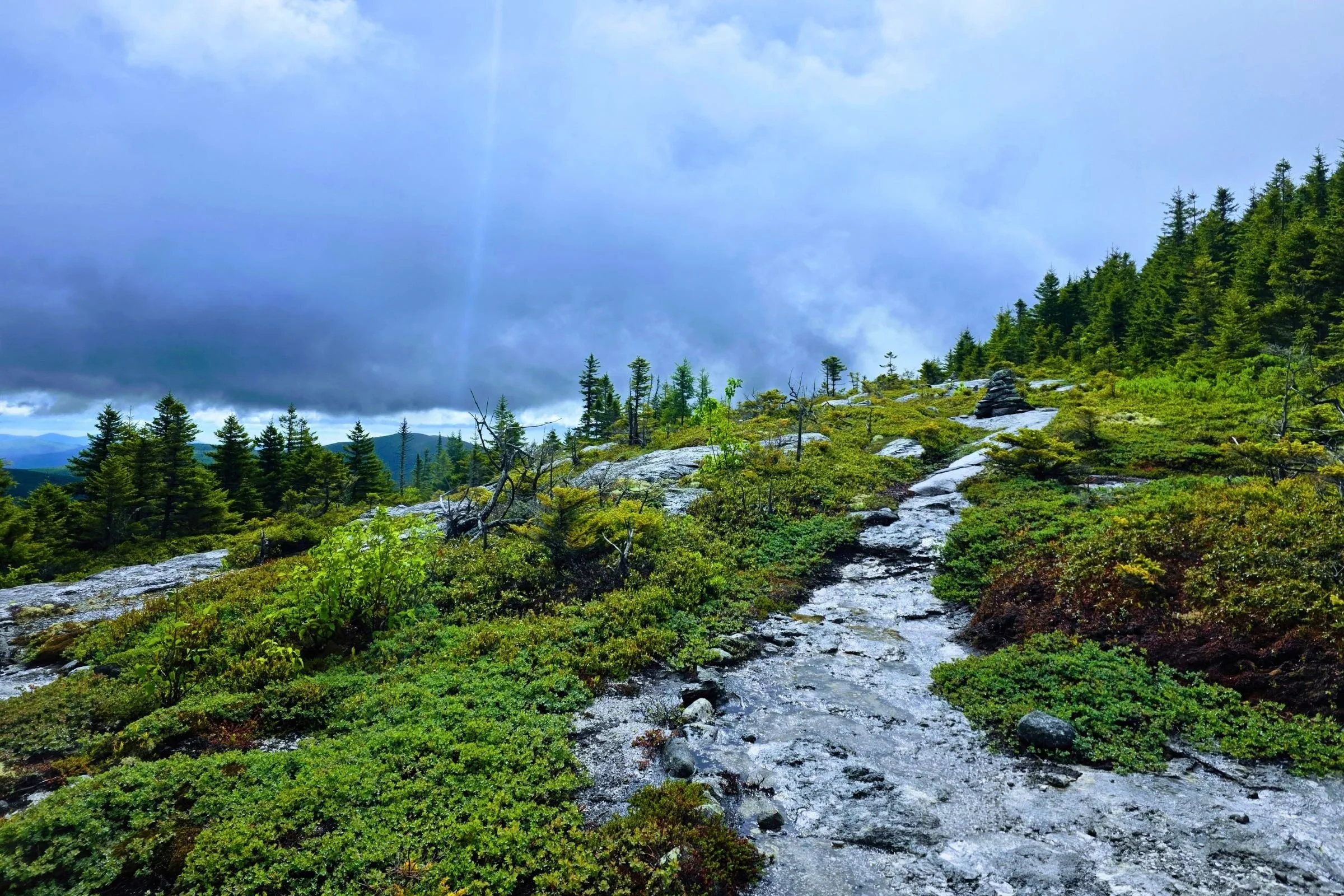
Approaching the summit of Sunday River Whitecap. Photo by Aubri Drake.
Then the trail winds down into Miles Notch and then has a long, steady climb up towards Old Speck. The trail passes by Slide Campsite (9.4 miles) and Bull Run Campsite (10.3 miles) as the slow climb continues. The summit and summit tower of Old Speck are right about 12.1 miles from the trailhead.
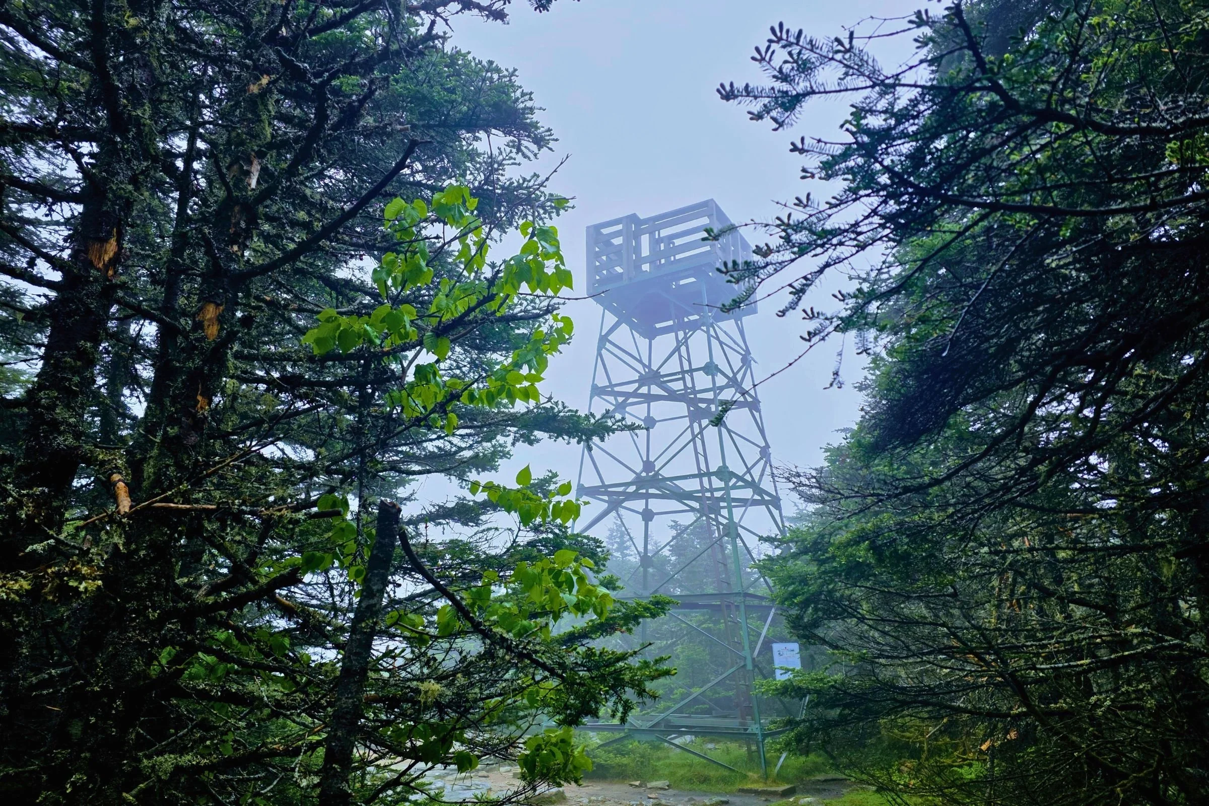
The summit tower on Old Speck. Photo by Aubri Drake.
The Grafton Loop Trail intersects the Appalachian Trail and merges with it at 12.3 miles, where hikers begin the sharp descent to the Appalachian Trail parking lot here. The ~3.5 miles of trail between the intersection with the AT and the road loses 2,700’ of elevation. The trail reaches the northern Route 26 parking lot at approximately 15.3 miles, completing the west side of the GLT.
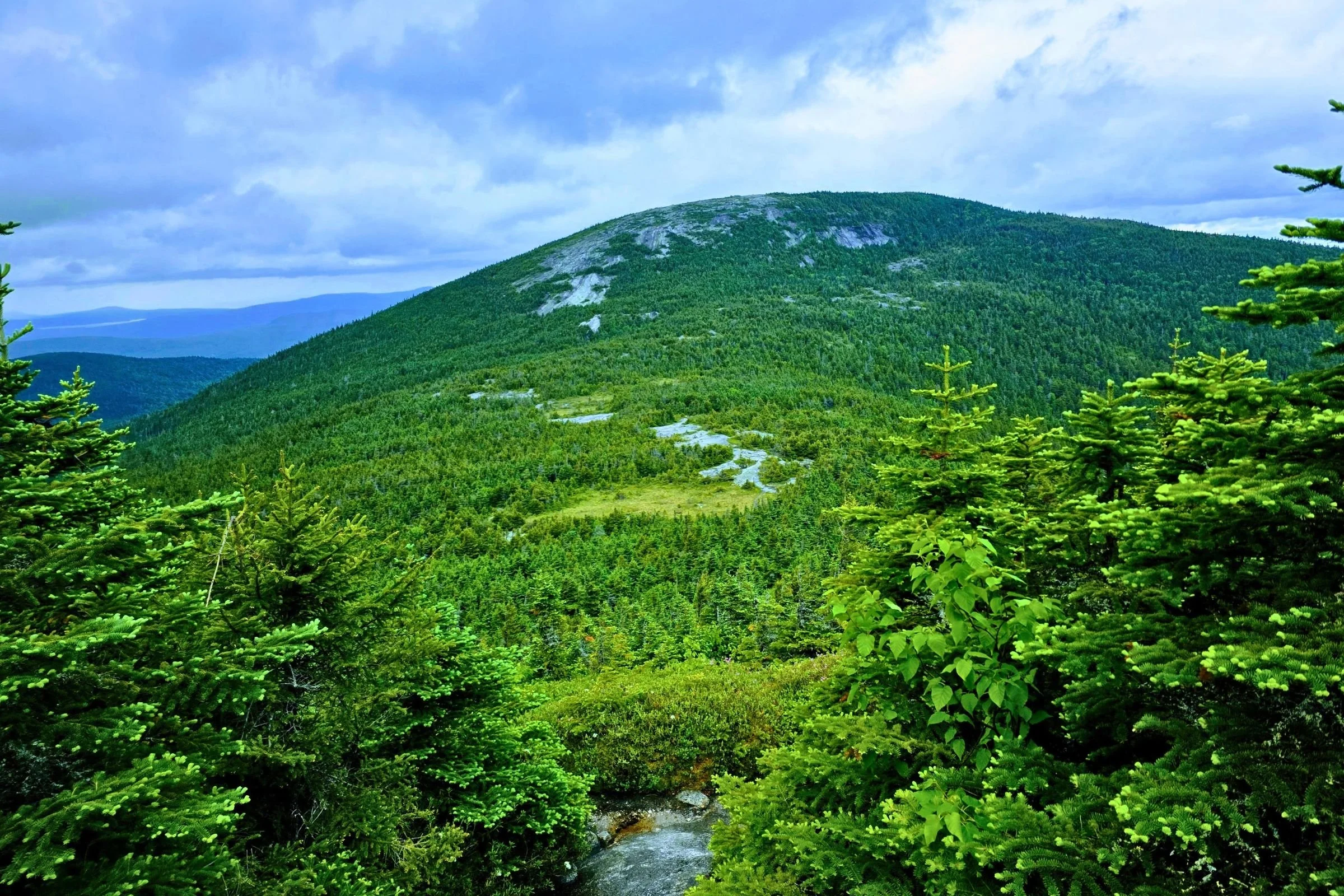
The climb down into the valley between Old Speck and the Baldpates is one of the two largest changes in elevation on the GLT. Photo by Aubri Drake.
The trail then crosses Route 26 at Grafton Notch State Park and steadily, and sometimes steeply, climbs up towards the Baldpates. The trail passes by an Appalachian Trail campsite and lean-to around mile 17.8 and arrives at the summit of West Baldpate at 18.5 miles.
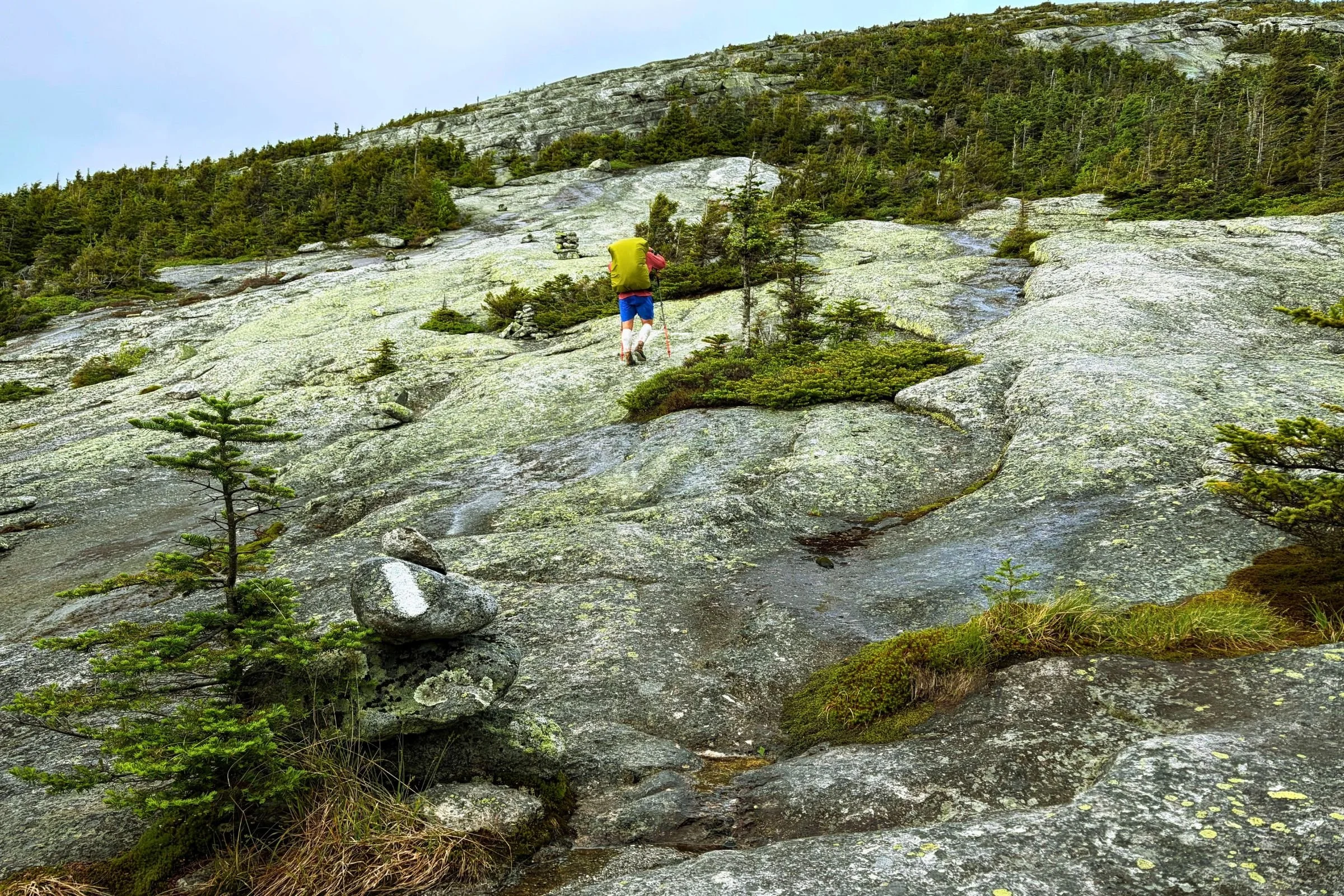
The rock slab climb up to East Baldpate is dynamic and unique, and can be psychologically intimidating. Photo by Kris Larosa.
The trail then descends into the col between the two mountains with an assist from a wooden ladder, and emerges from the trees for the trail’s most sustained time above treeline, out on rock slab for ~0.5 mi. The trail turns just a rock’s throw before the East Baldpate’s summit at mile 19.5, and takes a sharp right to head down the GLT, rather than heading straight over the summit on the Appalachian Trail.
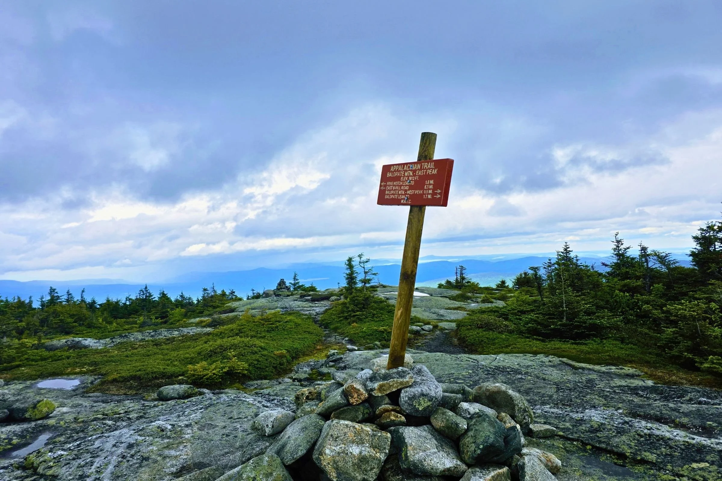
If you made it here, you missed the sharp right turn off of the AT and onto the GLT. Photo by Aubri Drake.
This is an easy turn to miss, since there is no sign, cairn, or arrow, and the right-hand turn to stay on the trail just looks like a barely traveled herd path. I overshot this turn and had to backtrack.
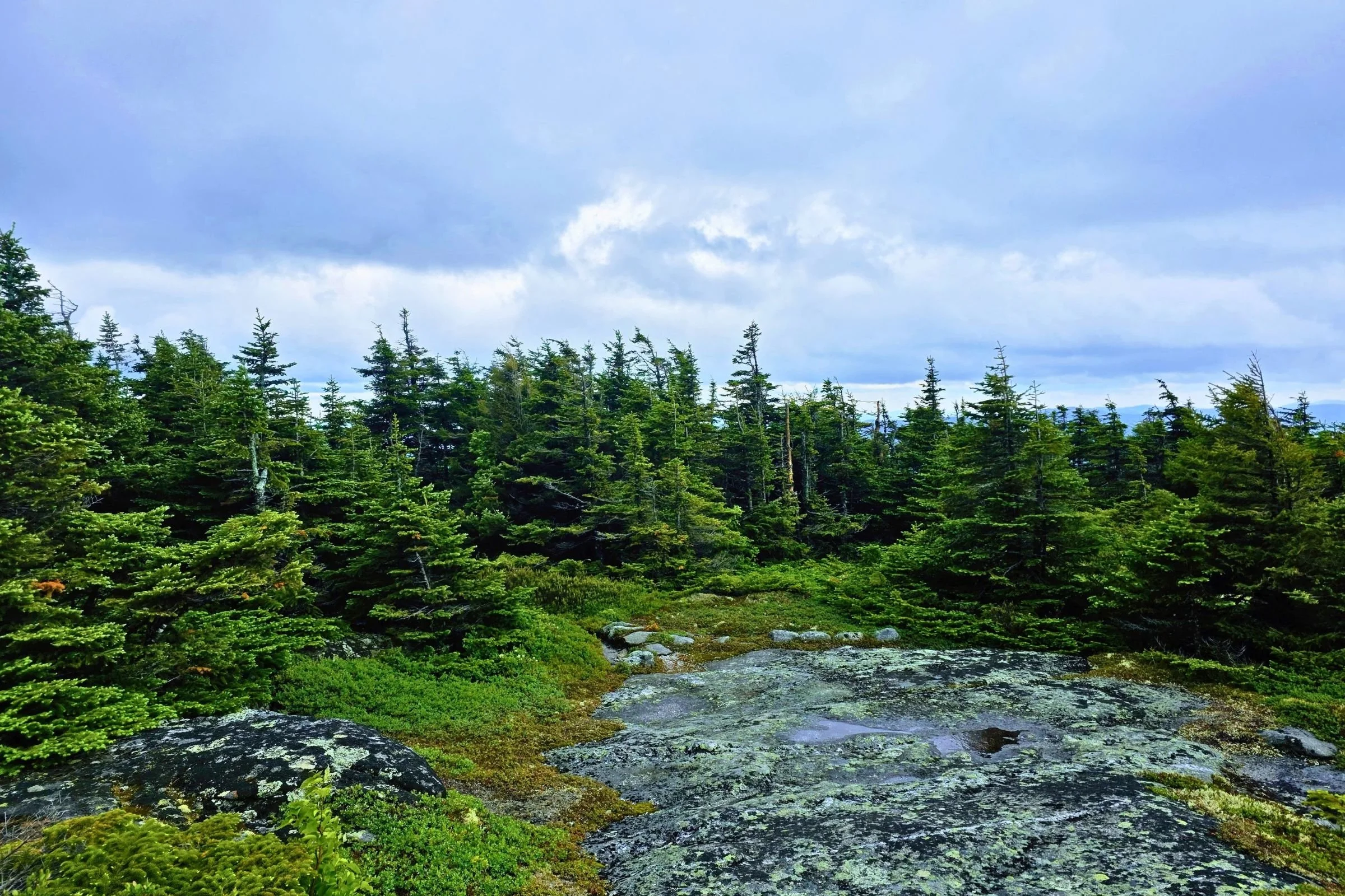
The easy-to-miss sharp right turn to head down East Baldpate via the GLT rather than the AT. Photo by Aubri Drake.
The trail descends from East Baldpate in classic Southern Maine fashion, with steep, rocky descents, short cliffs, and even a steel rebar ladder built into a rock face. This section of the GLT has the most elevation change packed into a single mile (1,560’). The miles up to the Baldpates and back down were the slowest for me on the entire GLT and were far more technical than any other trail miles.
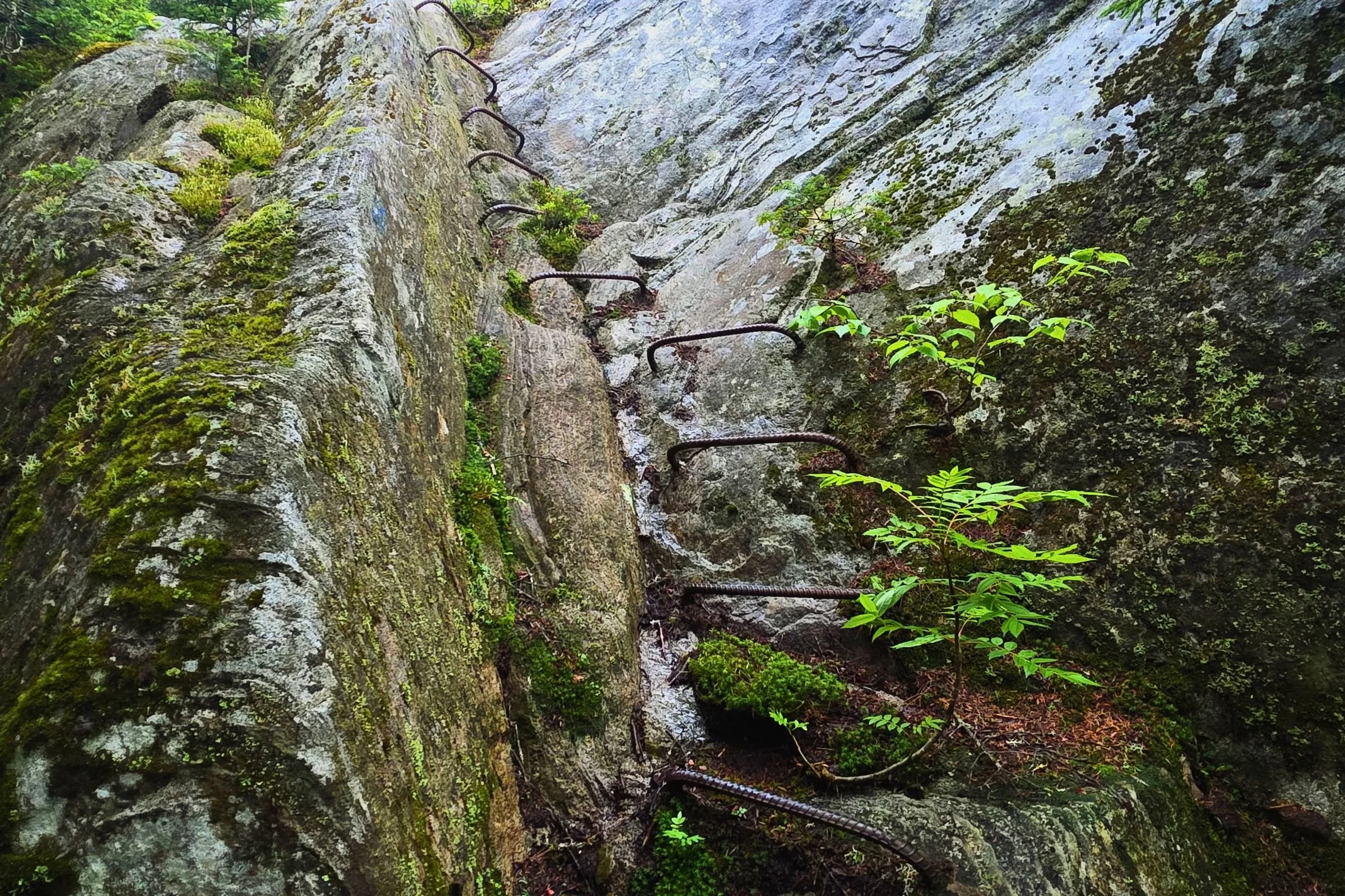
The rebar ladder on the descent of East Baldpate. Photo by Aubri Drake.
The trail passes by the East Baldpate Campsite at mile 21.5 and Lane Campsite at mile 23.2. The trail stays low and green for a lot of the GLT’s east side, with some sections very overgrown and in need of brushing. I was surprised by the number of sections on the east side of the Grafton Loop Trail with very frequent water crossings that were difficult to cross without wading during higher water levels.
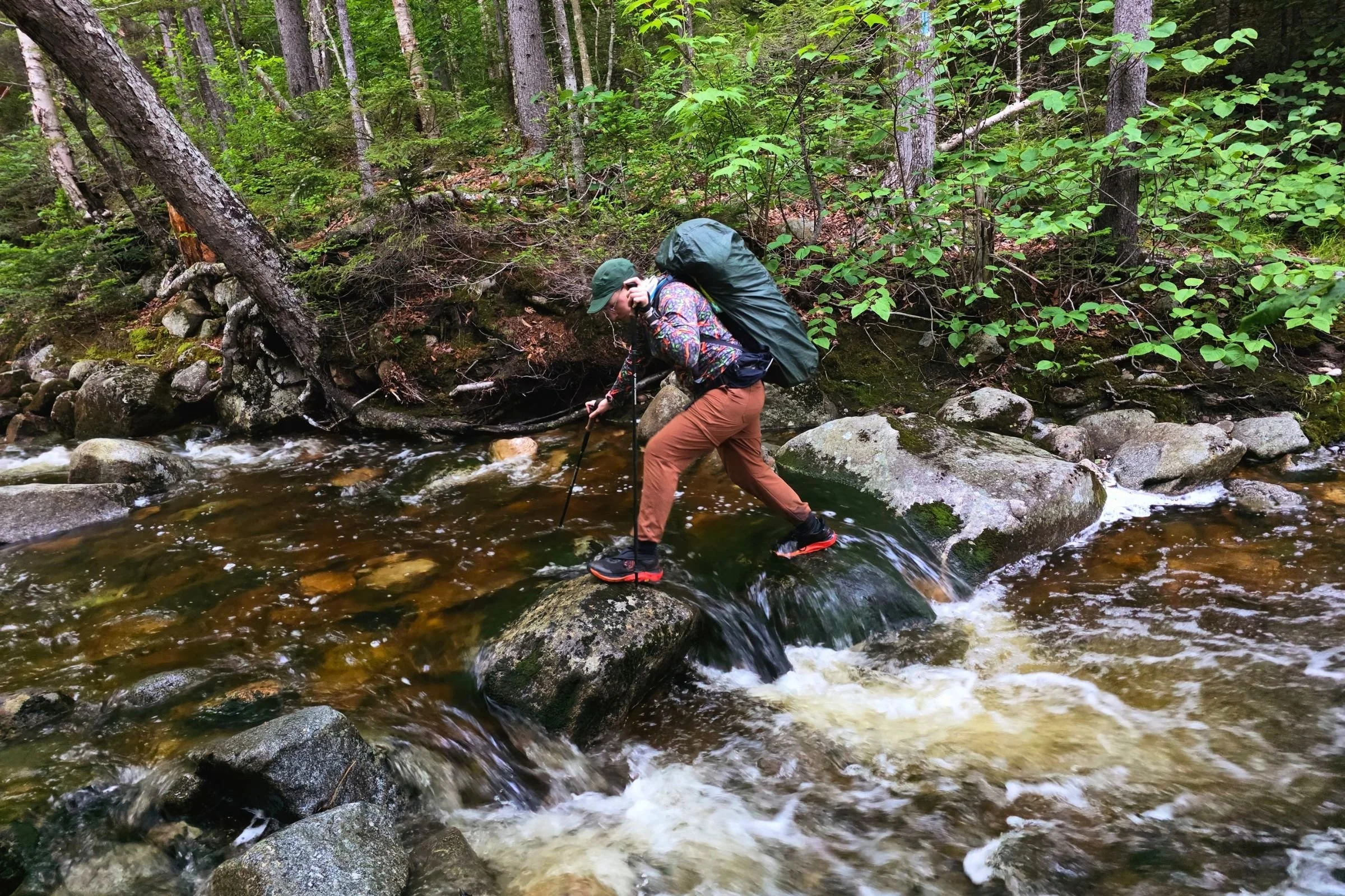
The east side of the GLT has a surprisingly high number of water crossings. Photo by Aubri Drake.
Town Corner Campsite is passed at mile 26.2, with the summit of Long Mountain at mile 27.1. The trail meanders along some old woods roads after a brief descent, and then climbs up to the final summit of Puzzle Mountain at mile 32.1.
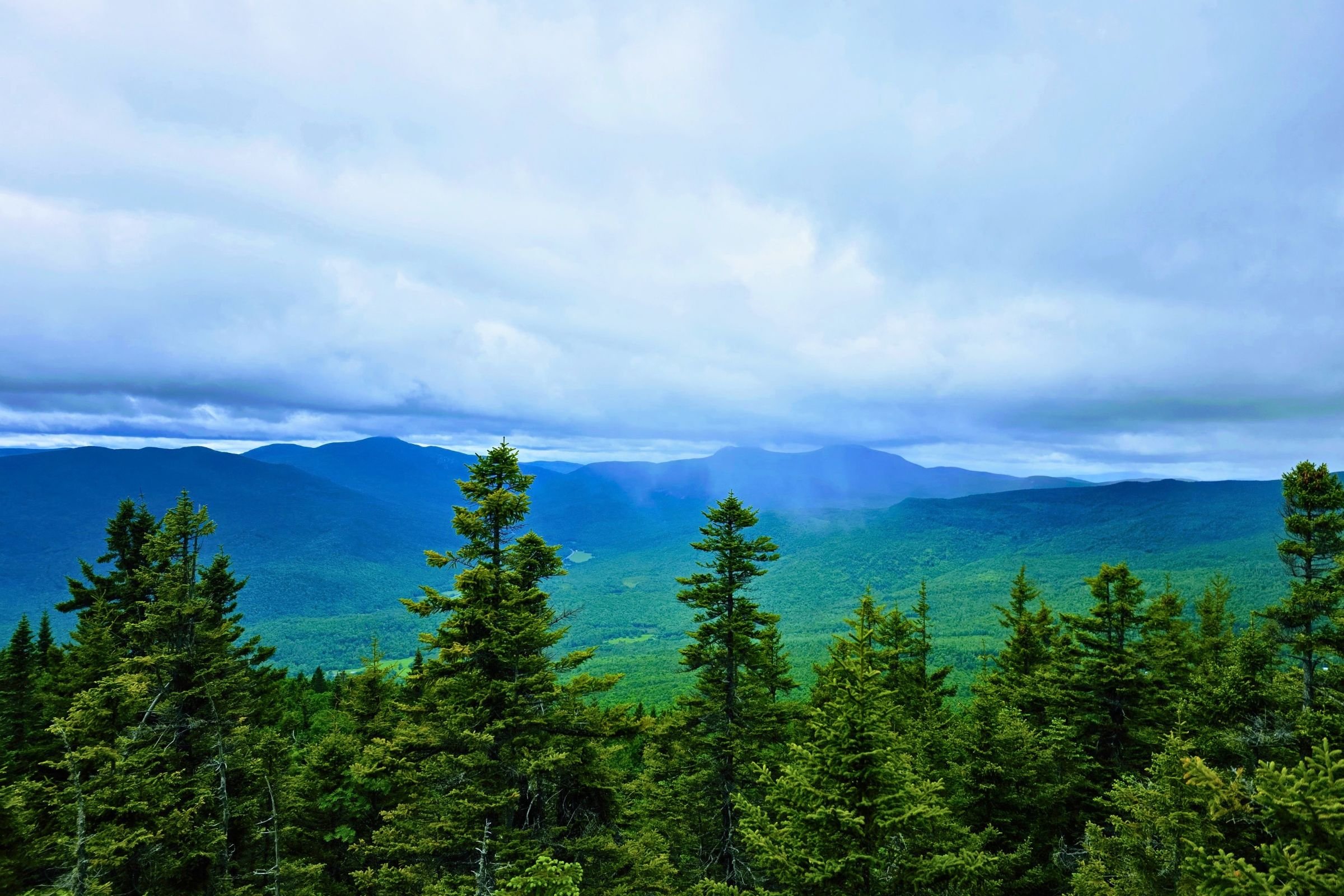
Grafton Notch, Old Speck, and the Baldpates as seen from Puzzle Mountain. Photo by Aubri Drake.
Figuring out where the trail went off the summit was a bit of a chore (tip: the summit cairn is actually off the trail), but once I found the trail again, it was 3.5 miles of descent that grew progressively smoother. The first mile was rocky, with a number of rock slabs to navigate. On the way down, the trail passes over some ATV roads within a mile of the trailhead. And at mile 37, hikers arrive back at the Grafton Loop East Trailhead! This is a great time to celebrate with a snack from the nearby Puzzle Mountain Bakery Pie Stand or the Grafton Notch Campground camp store as you head back home.
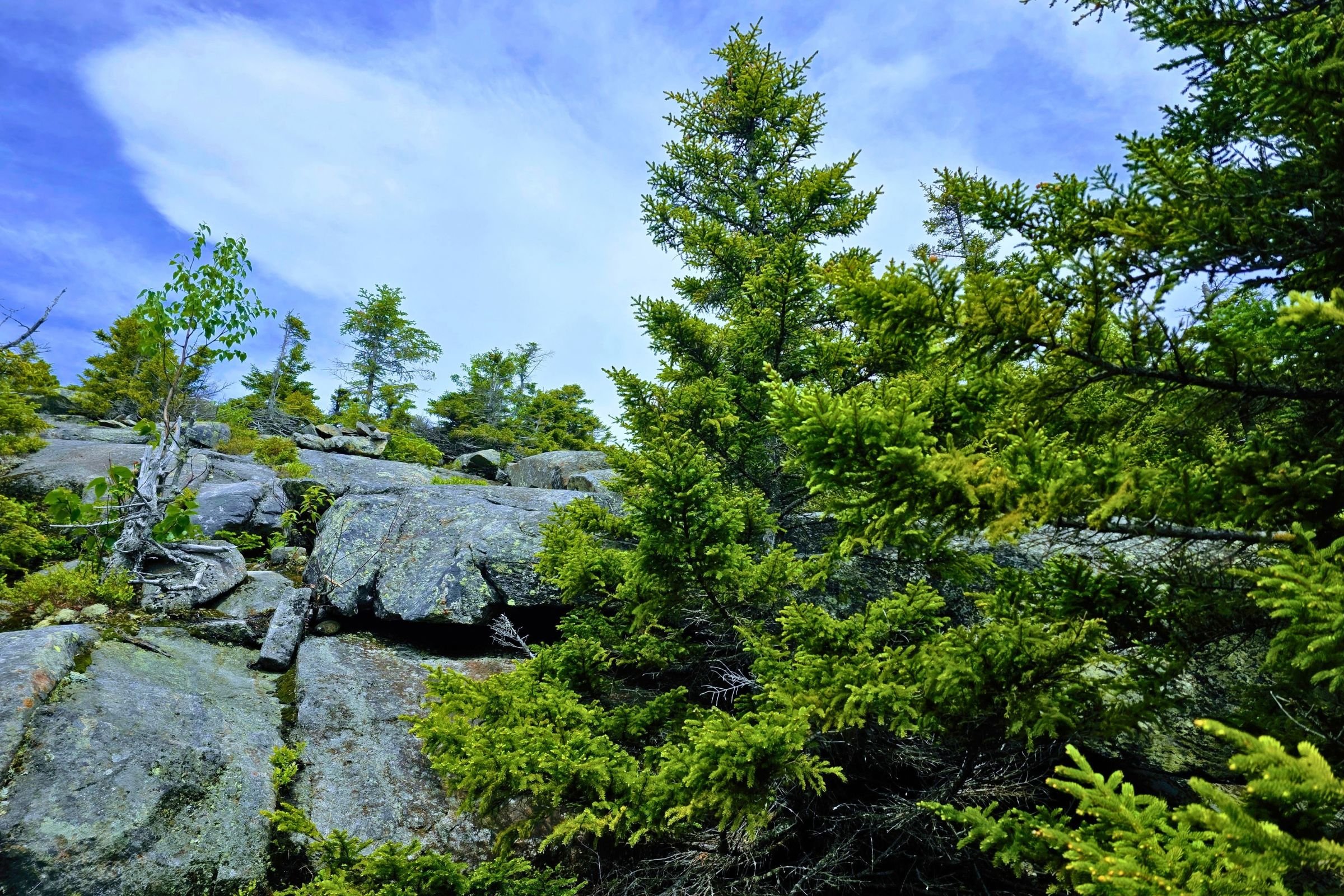
The initial descent off of Puzzle Mountain. Photo by Aubri Drake.
Navigation Resources
FarOut
FarOut offers an excellent guide for this hiking route, with pins for water, campsites, shelters, parking, and trail intersections.
Gaia
Gaia GPS functions very well on the GLT. You will likely have service for the majority of summits and ridge walking, but will lose service once you drop down into the valleys, so be sure to download the route and maps before heading out of town.
Maps
There is a physical map from the Appalachian Mountain Club available from both REI and the AMC. It’s made of waterproof, tear-proof Tyvek and includes reference points to specifically connect across to the Maine Mountain Guide.
Guidebooks
There is a Maine Mountain Guide from the Appalachian Mountain Club, available from both REI and the AMC. For this particular route, this guidebook is likely overkill, but it packs a lot of interesting information (such as trail history, pull-out maps, suggested hikes, and views from mountain peaks) into its 640 pages.
Getting There
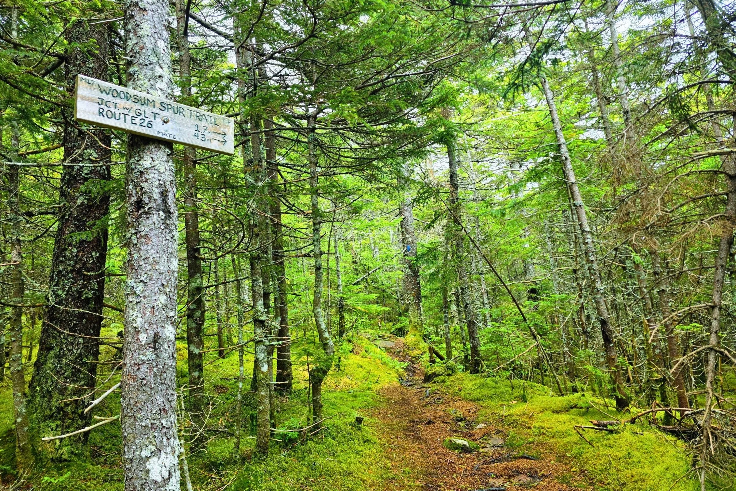
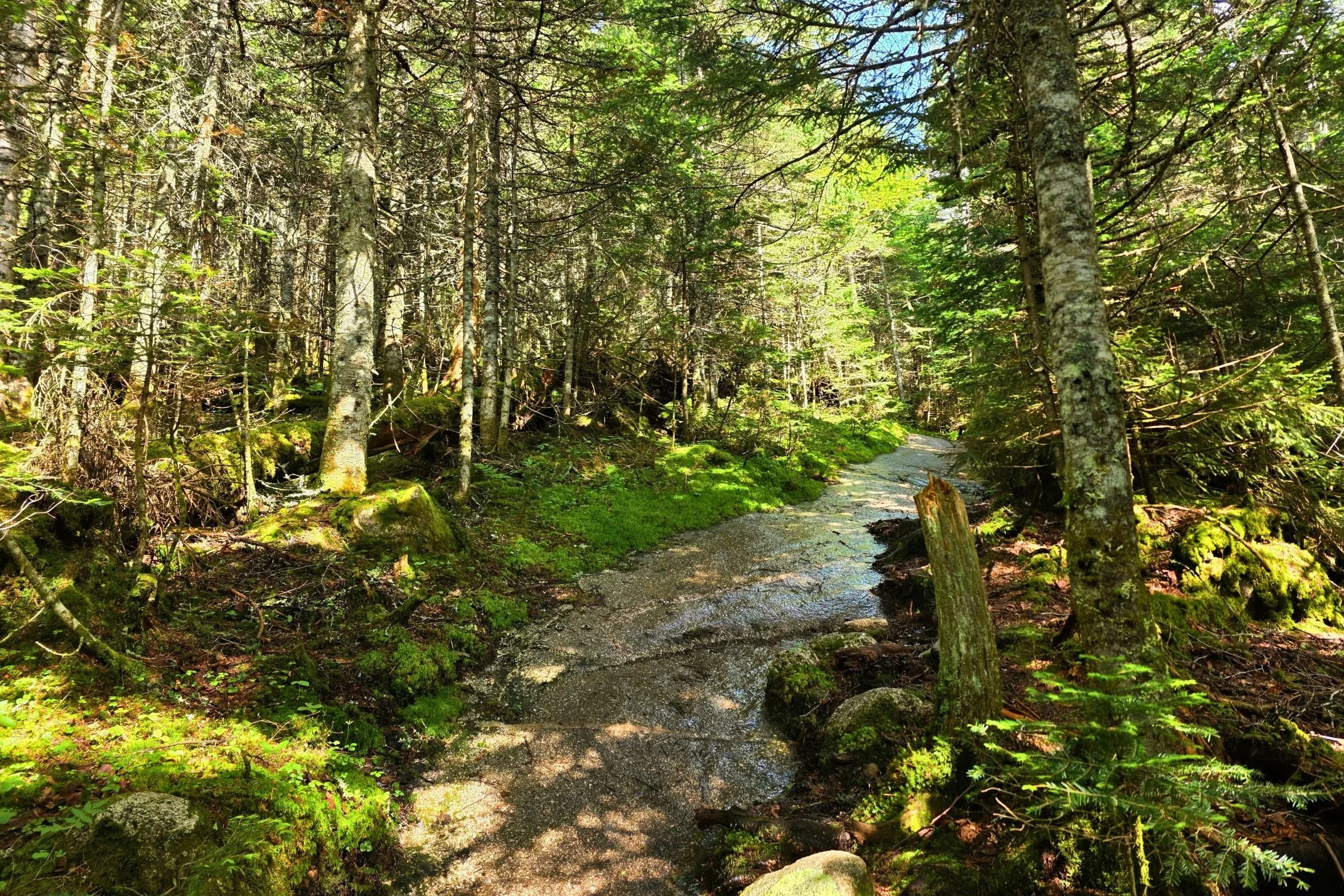
Endless views are nice, but there’s also something magical about soft, spongy moss trails at the top of a mountain safely tucked in amongst the trees. Photo by Aubri Drake.
By Plane
Fly into Boston Logan International Airport and then either rent a car or take a Concord Coach Lines bus to Gorham or Pinkham Notch. See below for bus details.
By Car
This is by far the easiest method. Grafton Notch trailheads are 90 minutes off I-93 and I-95, 60 minutes from Pinkham Notch, and 45 minutes from Gorham.
Bus and Shuttle Services
Concord Coach Lines offers bus service from Boston to Gorham and Pinkham Notch. To get directly to and from either trailhead, a taxi or shuttle service will be required, such as Ali’s Rides, Shuttle Connection, or Maura At Your Service.
Trailheads
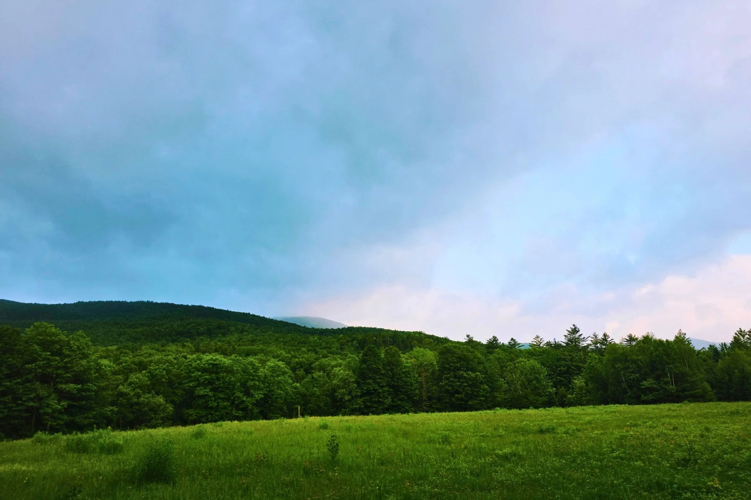
The GLT offers a wide variety of views, from mountain summits to open meadows. Photo by Aubri Drake.
The Appalachian Trail Parking Lot
This trailhead has ~40-50 parking spots. There is a composting privy in the parking lot, as well as a few picnic tables in the shade. A donation for parking is suggested.
The Grafton Loop East Trailhead
This trailhead has ~15-20 parking spots. Parking is free, but there is no privy available here.
Post-Trip FavoriteS
Grafton Notch is in a quiet, rural area, but there are some nearby dining options. Many of them are primarily designed with patrons of the local ski mountain in mind. However, the closest food is the excellent camp store at the family-owned and operated Grafton Notch Campground.
Within a 15-minute drive of the loop hike are the Good Food Store and the Sunday River Brewing Company. Alternatively, Gorham, NH, is 45 minutes away and has Big Day Brewing and the White Mountain Cafe & Bookstore.
Trail Regulations
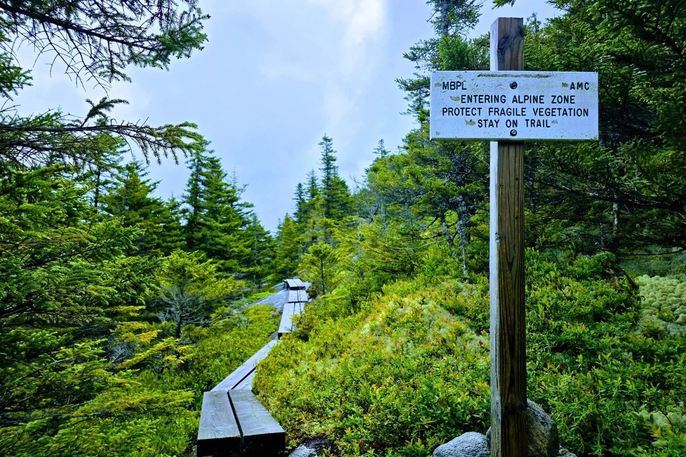
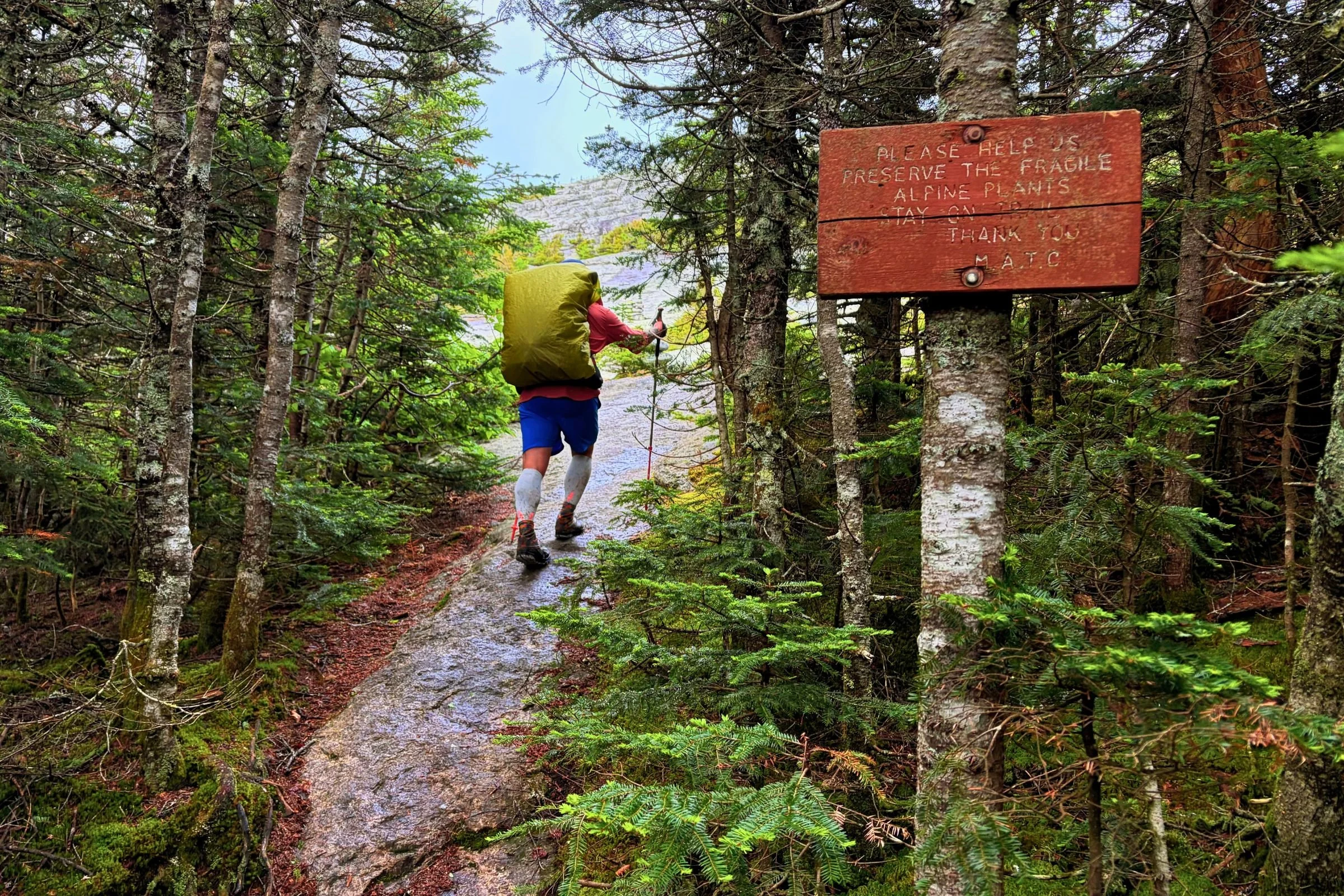
Please follow Leave No Trace and be careful to protect delicate alpine plants from damaging footsteps. Photo by Aubri Drake.
Follow Leave No Trace Ethics.
Dogs must be leashed at all times within the Grafton Notch State Park and Mahoosuc Public Lands (where more than half of this route is located), including at trailheads and campsites.
Camping is restricted to designated sites because this trail is popular and crosses private land frequently.
No campfires are allowed.
Stay on trail in alpine areas. This regulation is most relevant near the summits of Sunday River Whitecap and East and West Baldpate.
Be aware that hunting on Maine Public Lands follows State Hunting seasons, so hunting is allowed in some sections of this loop after Labor Day, primarily October and November.
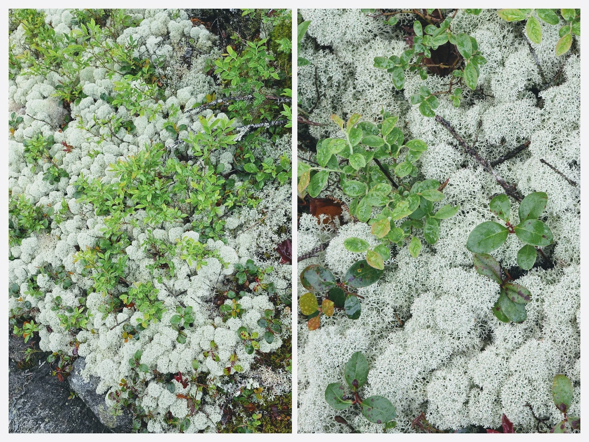
Reindeer Moss (technically a lichen) at the summit of Sunday River Whitecap. Photo by Aubri Drake.
Camping
Since this route runs through a mix of public and private land, camping is restricted to one of the eight designated campsites to minimize environmental impacts along a popular trail. This restriction is also in place to remain compliant with private landowner agreements that allow this trail to continue to exist.
The campsites on the west side are maintained by the Appalachian Mountain Club (AMC), and those on the east side are maintained by the Maine Appalachian Trail Club (MATC). Plan your campsites in advance and have backup plans in case your preferred site is full.
Lodging Before or After
For the night before or after your trip, I’d highly recommend staying at the Grafton Notch Campground. A local couple, Mark and Mo, built this campground themselves from the ground up 25+ years ago. Since Mark's passing, Mo has single-handedly run this awesome campground. She's passionate about upkeep and has attended to the little details that make a big difference for campers. Sites are level, well-sized, and set apart from one another; many have direct river access.
One site is specifically noted as wheelchair accessible. There is a wheelchair-accessible central bathhouse with free hot showers and flush toilets.
There’s an open green near the bathroom with lawn games for all to enjoy! There isn't cell service here, but Mo offers free Wi-Fi on the porch of the camp store.
When I told Mo that I was going to be hiking the Grafton Loop Trail, she eagerly offered her help with a ride to or from the trailhead, a free shower two days after I checked out, and reminded me that she had excellent post-hike cold drinks and snacks in the camp store. She was incredibly friendly, gracious, and kind.
Water Planning
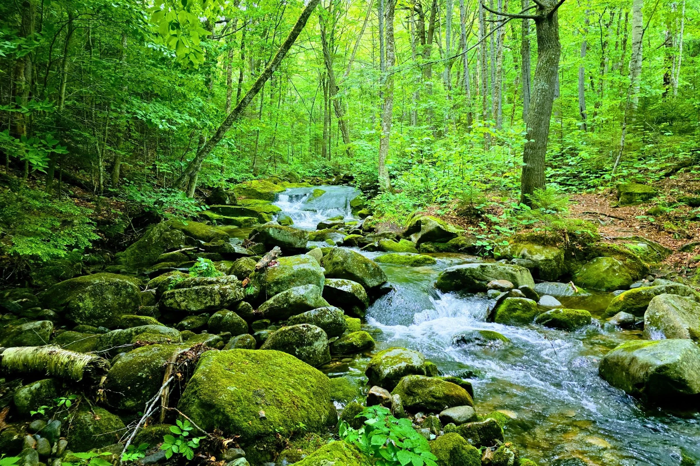
The GLT has frequent access to beautiful flowing water. Photo by Aubri Drake.
Water is frequently available on this route. FarOut provides markers at many of the water sources, and comments can help you determine how well each is flowing. When I hiked this route in an average July, I had frequent access to quickly flowing creeks and streams.
Bears and food storage
Designated campsites and lean-tos on the Appalachian Trail provide bear boxes, but the non-AT sites do not. When I hiked the Grafton Loop Trail, I used a scent-proof plastic bag to store my food and bear boxes when available.
Variations
The loop trail can be done in either direction, though I intentionally chose to complete the more difficult west side first, with the easier east side done second. From my perspective, the most technical section of trail was the climb up and over the Baldpates, and the longest, most sustained climb was up to Old Speck. I chose my start point and direction based on preferred campsite(s) and the weather forecast. The Baldpates in rain or a thunderstorm would be extra tough.
Gear shops and rentals
There are no gear shops near Grafton Notch. There are a few gear shops within an hour of the trailheads, but they all cater to skiers and snowboarders, not hikers. The best nearby option is the Walmart in Mexico, ME (40 minutes) or Gorham, NH (50 minutes). You could try your luck at the Community Sports consignment shop in Bethel, ME (20 minutes). If gear beyond that is needed, you can find Eastern Mountain Sports and REI in North Conway (1.25 hours away); REI also offers gear rentals.
Gear Discussion
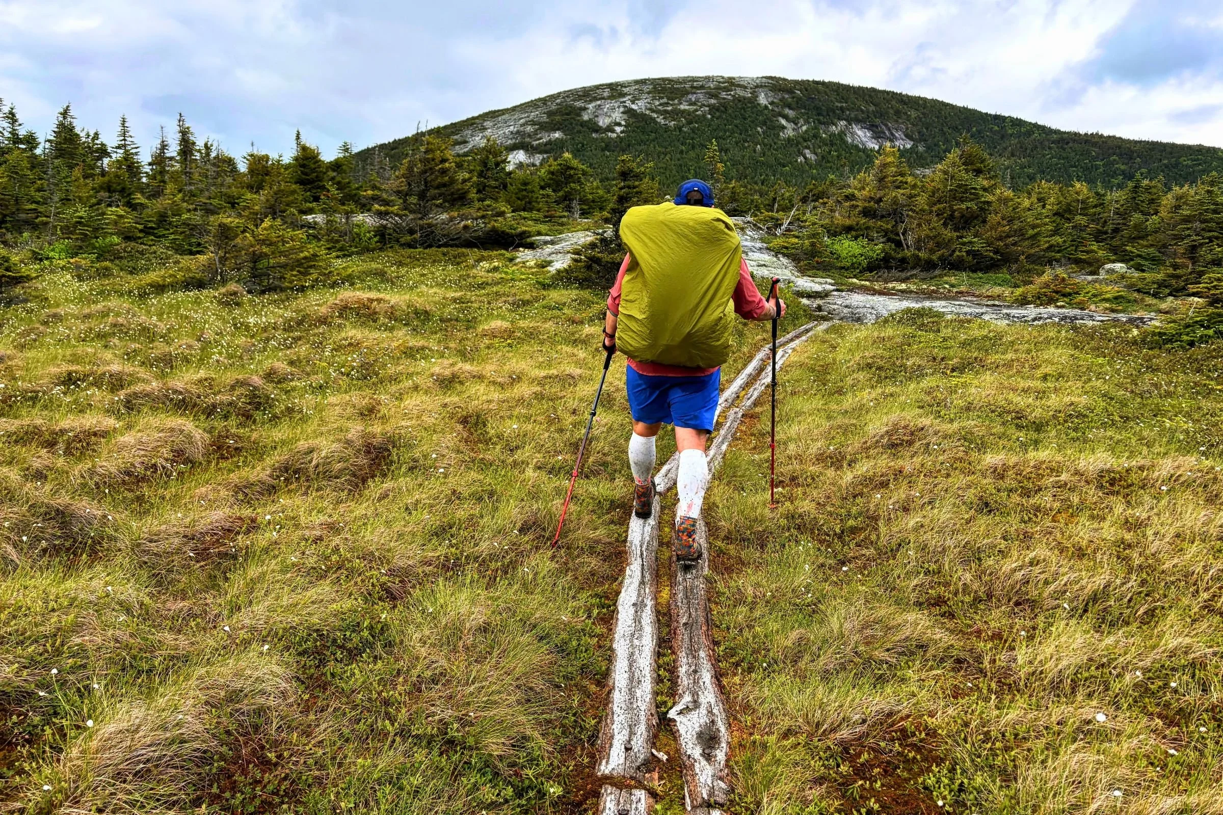
Having your gear dialed in before this trip is a great idea. Photo by Aubri Drake.
Tent
I used the Zpacks Plex Solo for this trip because I wanted to test this tent’s performance in a humid Northeastern environment. I carefully chose my overnight campsite for its dirt pad, to avoid needing to tent on an elevated wooden pad.
See our Best Backpacking Tents guide for more recommendations.
Backpack
I used my Gossamer Gear Mariposa, Treeline’s pick for Best Backpack for Thru-hiking, since it carries a heavy load well and has a light frame.
Sleeping Bag
I used my Katabatic Gear Alsek (a variation of Treeline’s Best Overall pick for Best Backpacking Quilts) for this trip since it’s my favorite 3-season quilt/bag hybrid, in the short and wide variety to comfortably accommodate my wide shoulders. The weather can shift quickly in the Maine mountains, and I always want a way to stay warm in my tent regardless of the temperatures.
See our Best Sleeping Bags story for more recommendations.
Sleeping Pad
I used my Therm-a-Rest XTherm wide pad (a former winner of Treeline’s Best Backpacking Sleeping Pad for Cold) for its excellent cushion and comfort and its warmth and high r-value. Maine nights can get cold, even in summer.
Trekking Poles
I used my Black Diamond Trail Ergo Cork trekking poles for this trip (a previous version of Treeline’s best overall trekking poles pick), because they’re light, mold to my hands, and don’t grow slick when I sweat. The Mahoosucs and White Mountains are very hard on trekking poles, and these aluminum poles are light but also hold up well despite everything I ask of them. For more recommendations, see our Best Trekking Poles story.
Cooking System
I used my MSR PocketRocket 2 stove on this trip because it’s simple, inexpensive, and hard to break, as well as the GSI Soloist cook set, and my beloved TOAKS titanium long handle spoon.
See our Best Backpacking Stoves and Best Backpacking Cookpots guides for our recommendations.
Headlamp
I carried the BioLite Range 400 (our pick for Best Overall headlamp) because it’s waterproof, comfortable, and bright.
Satellite Messenger
Cell reception is not always guaranteed on this trail. There is typically cell service on the summits and ridgeline but little service below high points. I carried a Garmin inReach Mini to be sure I could contact search and rescue if needed for myself or other hikers around me.
See our Best Personal Locator Beacon and Satellite Messenger guide.
Water Filter
When I backpacked the GLT, I carried a Sawyer Squeeze (the Best for Thru-hiking winner in our Best Water Filters guide) for filtering water from streams.
Potty trowel and toilet kit
There are backcountry privies available at all designated campsites along this trail and at the AT trailhead. We highly recommend using those during your loop when possible.
If you must dig a hole below treeline, dig 6” deep (this will be difficult in many places due to roots and tight-packed trees) and pack out all toilet paper, as the environment here does not allow it to degrade well. The area is also highly trafficked and cannot absorb many backcountry catholes, particularly with toilet paper. As an alternative, consider carrying a Backcountry Bidet to avoid the need for toilet paper.
What to Wear
Shoes or Boots
I wore HOKA Speedgoat trail running shoes (the Best Cushioned winner in our Best Men’s Trail Running Shoes guide) on this route because they are available in 2E/men’s wide sizes and provide comfort and cushion over long miles.
If you’d feel more comfortable in boots, check out our Best Hiking Boots or Best Lightweight Hiking Boots guides.
A nice footwear compromise for this trip can be hiking shoes, which are designed to feel like a trail runner but have stability more like a boot. See our Best Hiking Shoes guide for footwear that has more durability and stability than trail runners.
Rain Jacket
I brought the Outdoor Research Helium UL jacket for my GLT (Best Packable winner in our Best Lightweight Rain Jackets guide).
Rain Pants
If rain and colder temperatures are expected, I wear a base layer legging underneath my Patagonia Wind Shield Pants, which are our pick for Best Running Pants for Rain.
Fleece or Midlayer
I run warm so I used the Smartwool Classic Thermal Merino long sleeve shirt (our best base layer pick for extreme cold) as my midlayer.
Hiking Pants
If it was cold enough for pants, I would have used the Zpacks Ultralight Trail Cool Joggers.
See our guides to the Best Women's Hiking Pants and Best Men's Hiking Pants for more recommendations.
Hiking Shorts
I used MIER 5” men’s running shorts, because they’re inexpensive, quick-dry, and do not have a liner.
For more recommendations, see our Best Men's Trail Running Shorts, Best Women's Trail Running Shorts, Best Men's Hiking Shorts, or Best Thru-hiking Shorts guides.
Gaiters
I used my Dirty Girl Gaiters, our Best Thru-hiking Gaiters pick, to keep rocks, grit, and dirt out of my shoes.
Hiking shirt
I used my Jolly Gear Triple Crown Button-down sun shirt (winner of our Best Sun Shirt for Thru Hiking) because it offers full sun coverage, incorporates a hood, dries quickly, resists odors, and has good temperature control.
Hiking Socks
I wore the Darn Tough Hiker Cushion socks because they dry quickly, provide good temperature control, and hold their shape.
Warm Hat
I used my Turtle Fur fleece hat because it’s light, comfortable, and covers my ears.
Gloves or Mittens
I used the Minus33 Merino Wool Glove Liner, paired with the lightweight waterproof and windproof Salomon Bonatti Mitten shells, since I usually only need a light pair of gloves for the morning chill until the day warms up. For more recommendations on lightweight but warm gloves, see our Best Winter Gloves guide.
Miscellaneous Gear Items
First Aid Kit Recommendations
Leukotape
Ibuprofen
Adhesive bandages
Hemostatic gauze
Safety pins
Gold Bond Friction Defense Stick (or your choice of chafing cream)
HotHands
Sun Protection
Sunscreen isn’t needed for most of this below-treeline hike, though you may want it when climbing East Baldpate, since there is more prolonged time spent above treeline without shade.
You can check out our Best Body Sunscreens and Best Face Sunscreens guides.
Why you should trust us / About the author
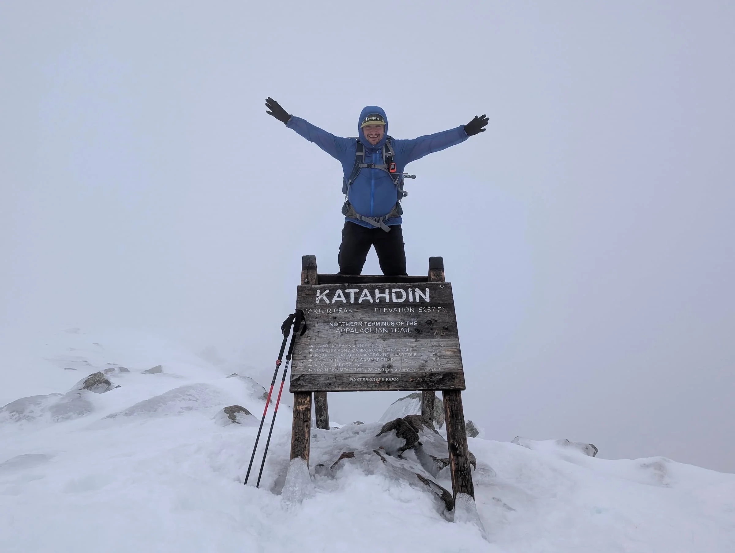
Aubri (“Data”) Drake (he/him) is a white queer and transgender hiker, backpacker, ultrarunner, and writer passionate about making the world a better place. He discovered long-distance backpacking in 2013 and has been running off to the woods ever since.
He’s always looking forward to his next big outdoor adventure, in between working full-time in research administration. He’s hiked the Appalachian Trail, Pacific Crest Trail, Arizona Trail, Colorado Trail, Vermont's Long Trail, Nüümü Poyo (twice), Europe’s Tour du Mont Blanc, Tahoe Rim Trail, New England Trail, and New Hampshire's Cohos Trail, and is 55% done with the Continental Divide Trail.
Because 75 mph winds, waist-deep unbroken snow, and ice eyelashes have a strange appeal, Aubri has also completed numerous Northeast peakbagging lists in both winter and summer seasons, including the Northeast 111 4,000 Footers and the New England Hundred Highest, as well as the New Hampshire 48 4,000 Footers Grid (48 peaks x every month of the year = 576 peaks).
He’s also started running ultramarathon distances up to 100 miles, and set more than 20 Fastest Known Times. Aubri has logged more than 9,000 miles on his feet in the last three years, and in addition to this publication, his writing has been featured in Trail Runner Magazine, Long Trail News magazine, and five research journals.
Website: https://transcendingmountains.blog/
Instagram: @genderqueer_hiker
For more of Aubri’s articles, visit his author page.