
West Highland Way Scotland Backpacking Guide
A 96-mile thru-hike from Milngavie to Fort William, through towns and the Scottish Highlands
July 14th, 2026
Home > Trip Guides > Thru Hikes For Working People
Distance: 96 miles/154 kilometers
Days: 5-10
Elevation gain/loss: 13,189ft/4020m gain, 13,379ft/4078m loss
Best season: Spring and autumn have cooler temps and fewer midges, but from April through October the trail is popular with hikers and travelers
Permits: None required for the trail itself
Difficulty: Moderate—well-defined and graded trails, with some climbs and slipperier sections. Can be made easier with gear shuttles and/or some shorter days.
This story may contain affiliate links, which help fund our website. When you click on the links to purchase gear, we may get a commission without costing you an extra cent. This allows us to create reader-supported objective gear reviews. Thank you for supporting our work and mission of outdoor coverage for every body! Learn more.
Background
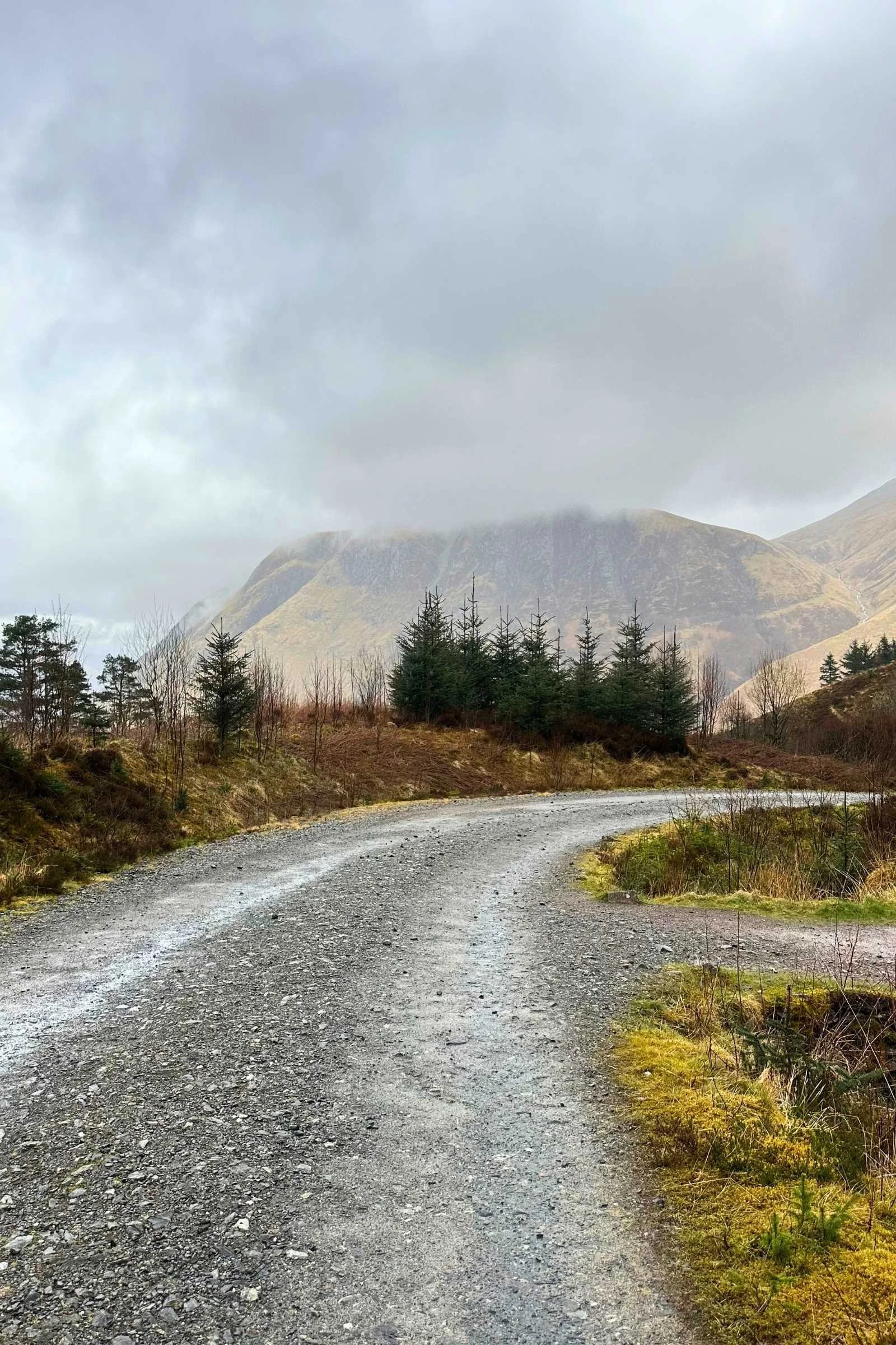
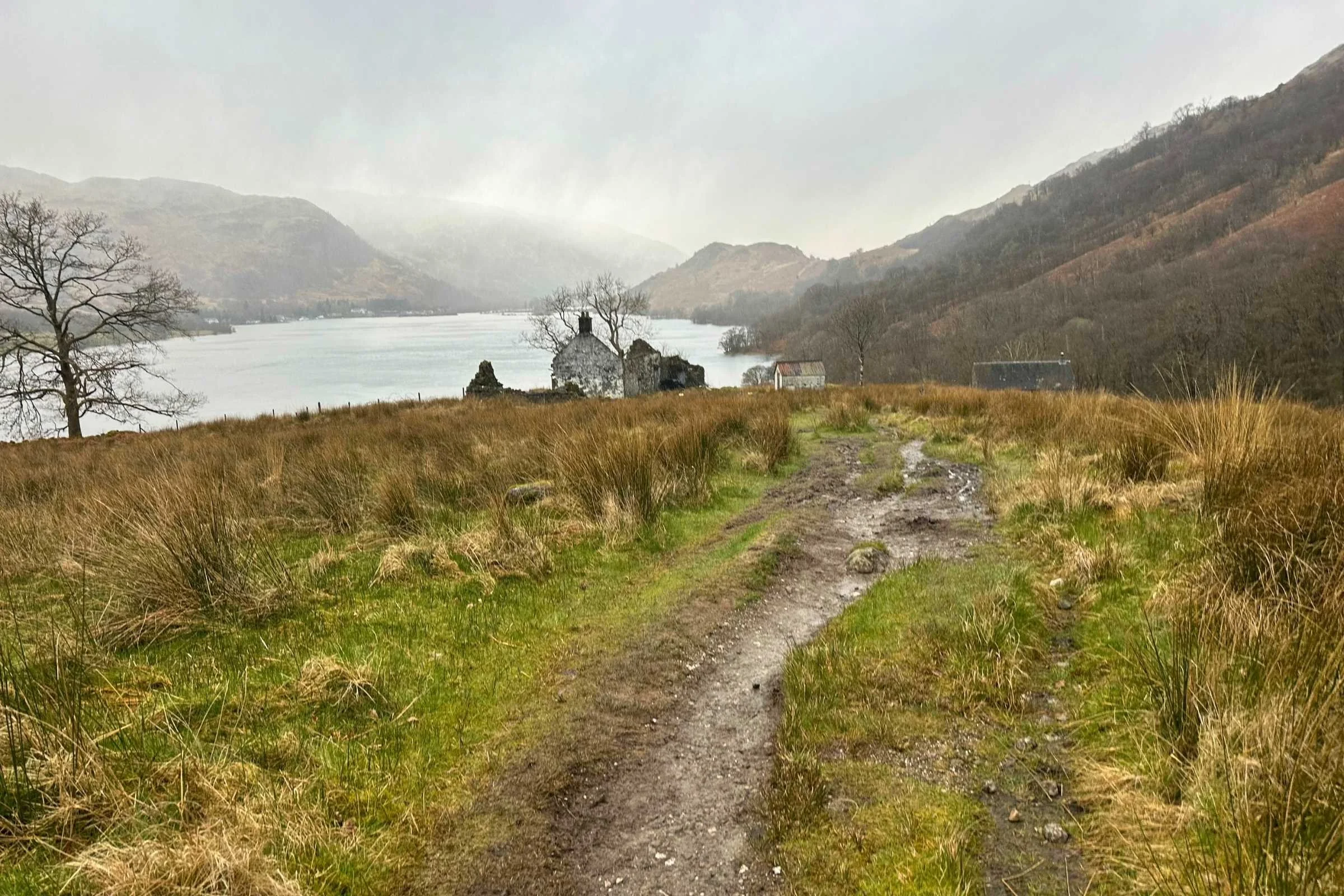
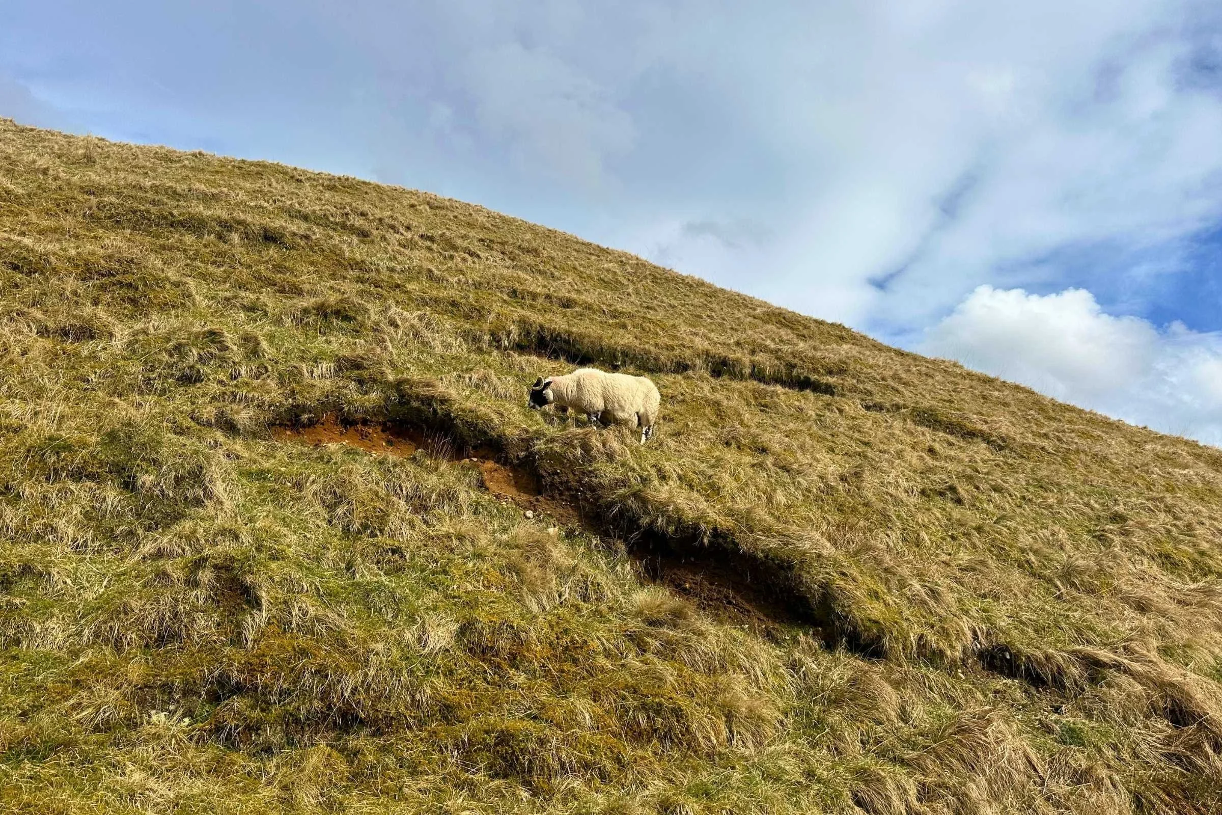
The West Highland Way in Scotland is a 96-mile/154 kilometer point-to-point trail from Milngavie to Fort William. It’s studded with incredible scenery, kind locals, charming trail towns, pubs, and cafes, and wildlife ranging from frogs, birds, and deer to expansive fields of sheep and Highland cows.
With ample resupply options, official campsites with hot showers and laundry, and restaurants and bed & breakfasts throughout, the West Highland Way’s rolling trails are accessible to hikers who prefer indoor lodging and gear/luggage transfer shuttles on their walk, as well as to hikers who’d rather carry their gear the whole way and wild camp as often as possible, and everyone in between. With frequent railroad adjacency and clear bus and train transportation to the termini, it’s straightforward to do the trail in sections and to get on and off trail. As you head northward towards Fort William, the Highlands truly open up and the trail becomes more exposed with expansive views– and fewer places to hide from the rain or springtime hailstorms.
The West Highland Way was established in 1980 after six years of trail building and was the first designated long-distance hiking route in Scotland. It’s an extremely popular trail—each year, around 36,000 people complete it and nearly four times that access it. As the Scottish Highlands were once connected to the Appalachian Mountains before the continents split into distinct existence, the West Highland Way is a part of the International Appalachian Trail which runs from Mount Katahdin in Maine up to Newfoundland and includes geologically connected trails such as this one.
Before hiking the West Highland Way, my closest experiences with similar terrain were in the Roan and Grayson Highlands along the Appalachian Trail. Those were only a small taste of highland hiking, though—the Scottish Highlands are unlike anywhere else, with rich history carrying into the present day of the trail and fascinating terrain that evolves as the trail goes on.
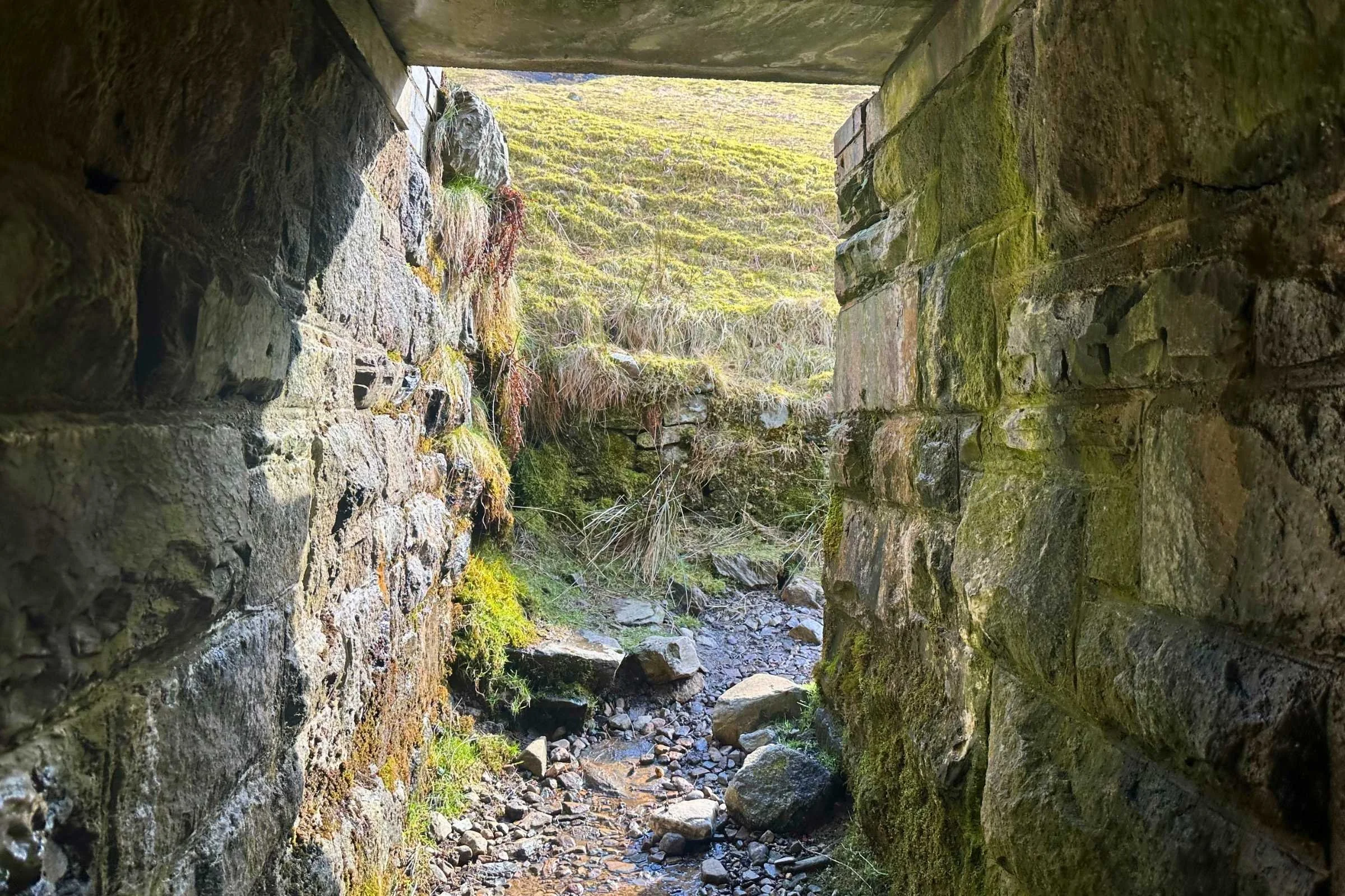
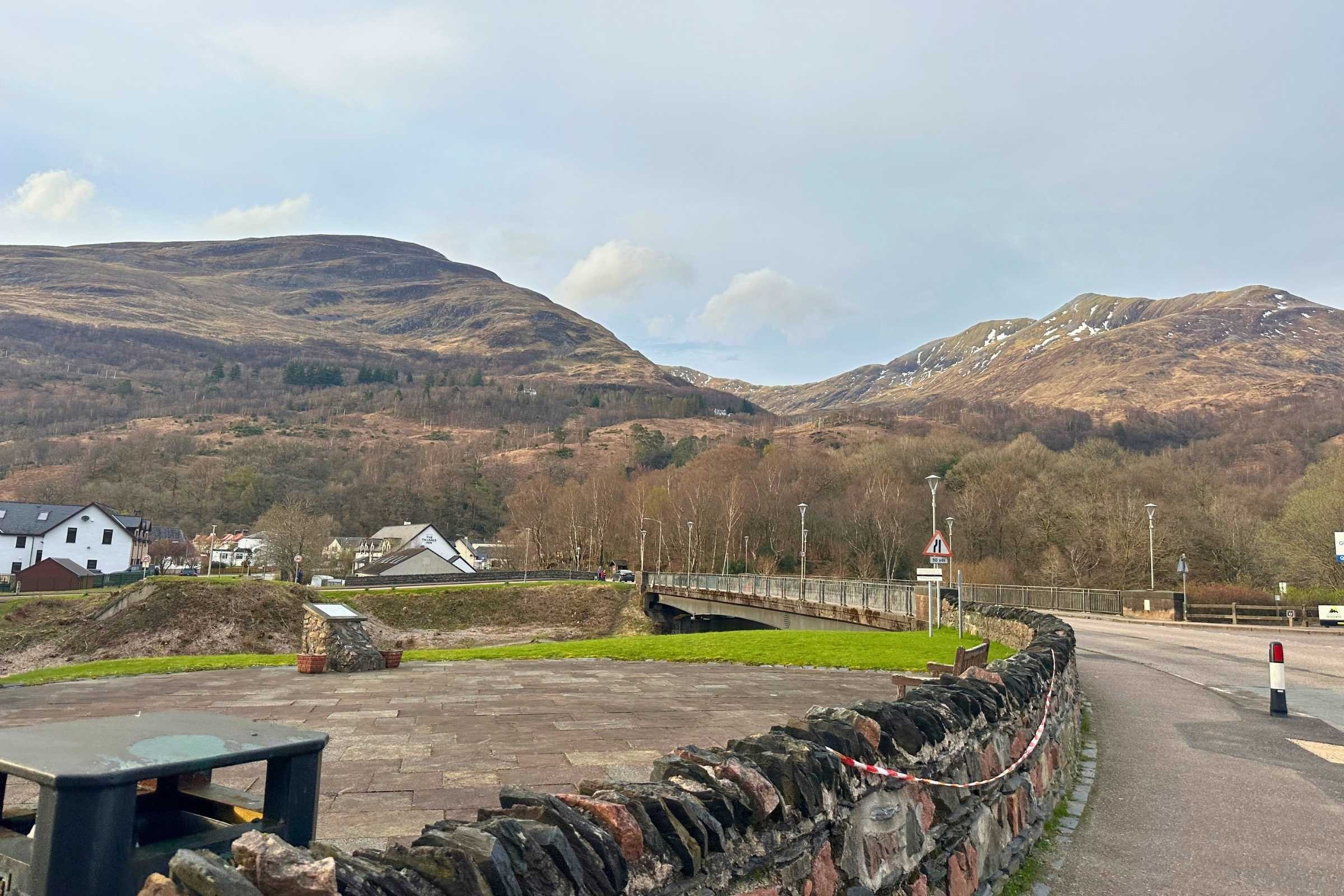
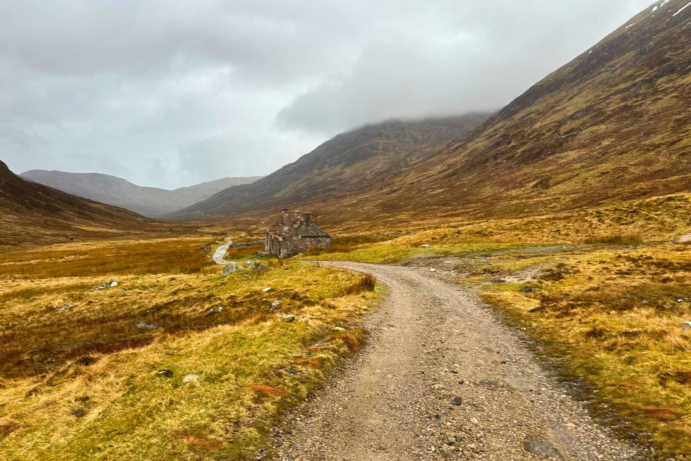
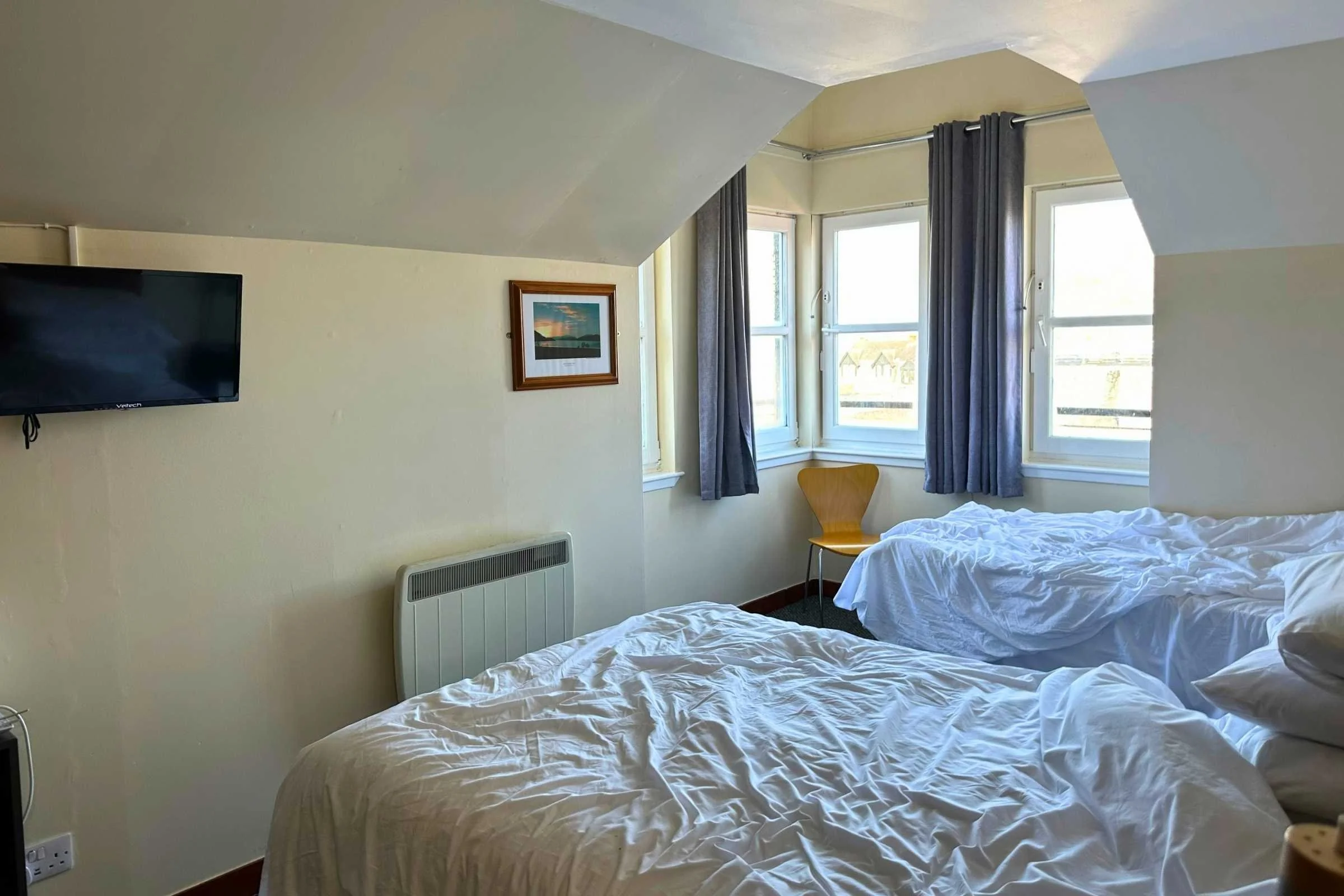
Gallery of photos
Highlights
Rolling trail with incredible views, especially as you head further north
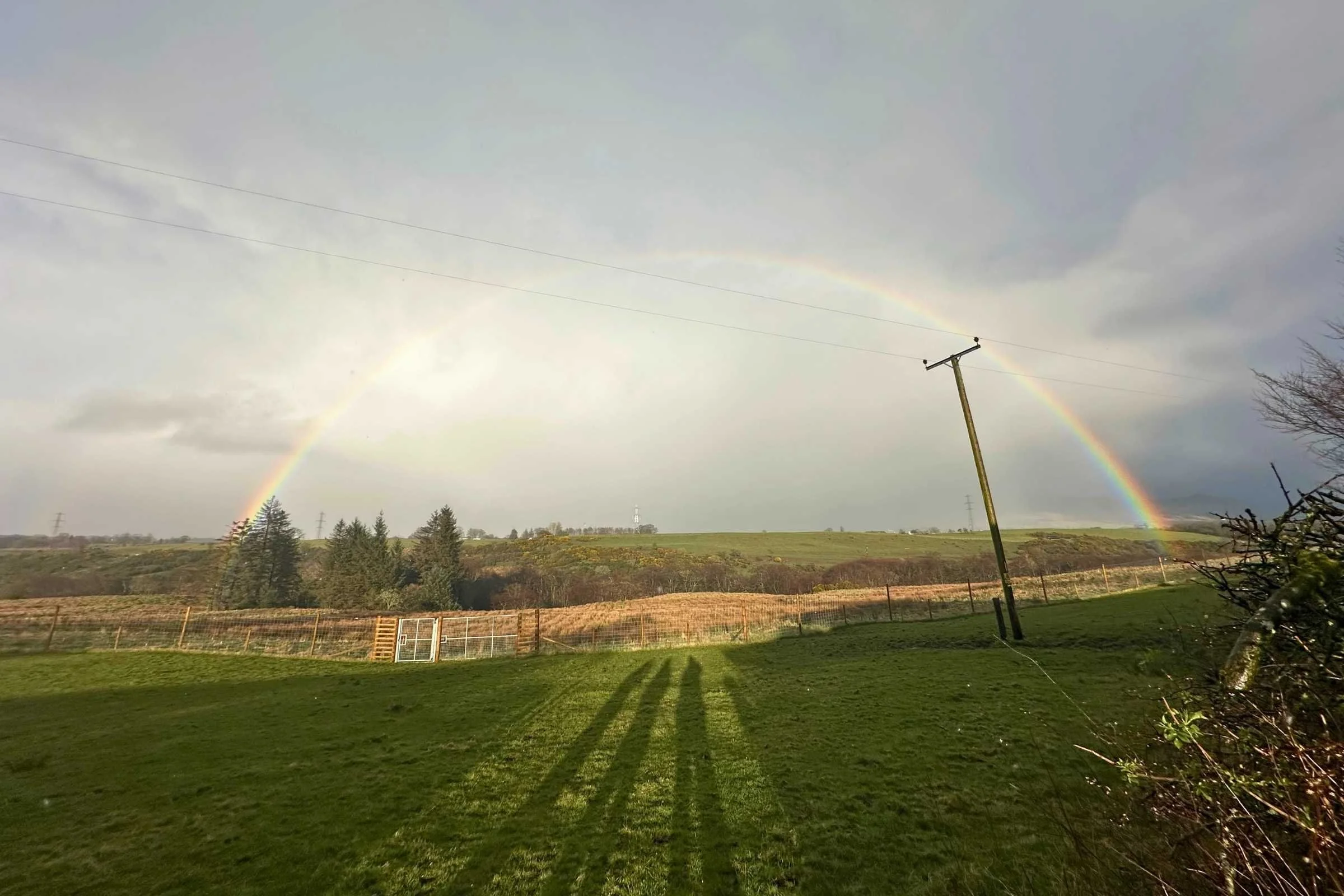
Sheep, Highland cows, rainbows galore!
Near-daily resupply, town, and food stops with revitalizing hot food, pubs, trash cans for garbage that's been packed out, and toilets with running water and flushing toilets. Luxury!
Challenges
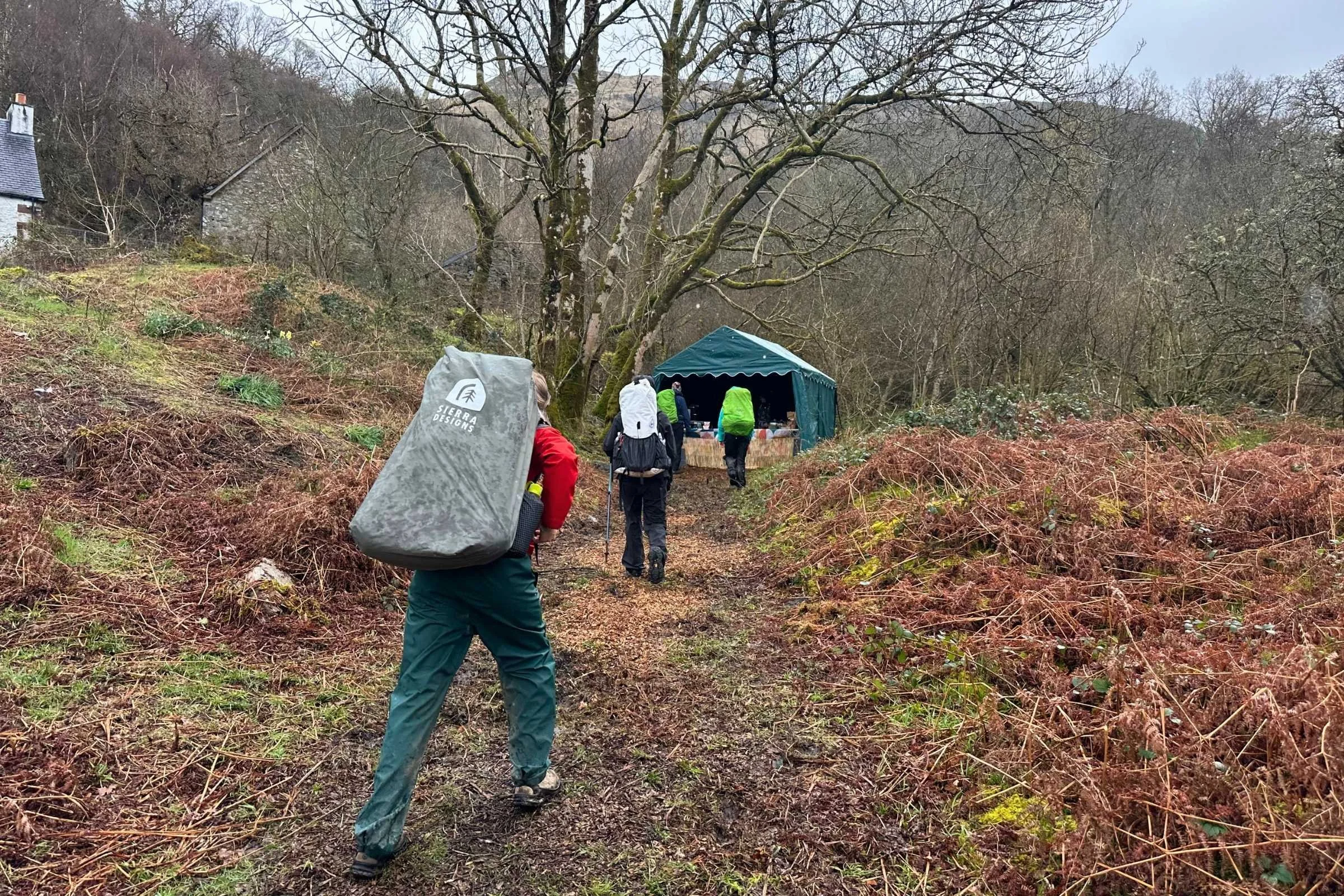
Frequent rain makes for a muddy trail and frequent blisters
Midges are ever-present during the peak season and test the patience of many a hiker
Exposed sections in extended stretches of truly inclement weather (sideways sleet, high winds) can be a bit demoralizing
Gear List
Here is a quick list of gear I used on the WHW. For the rationale behind my gear choices, skip to Gear Strategy.
Best Season
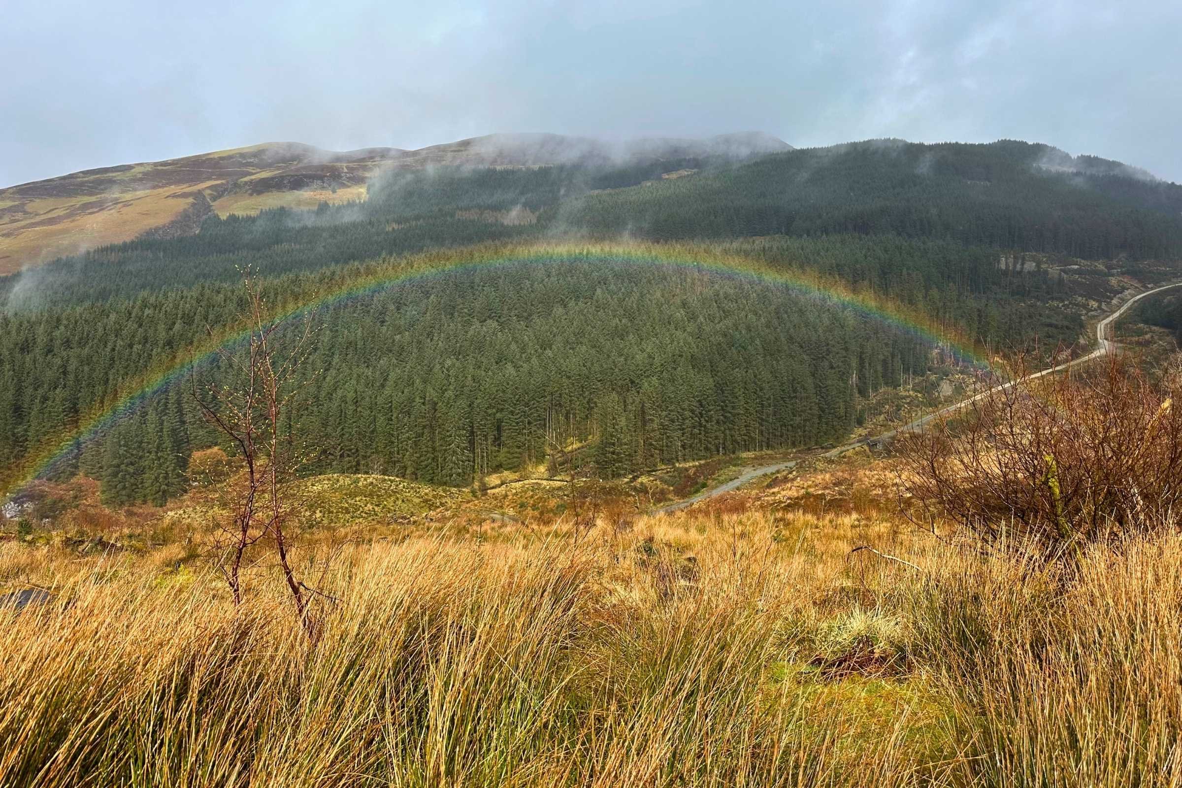
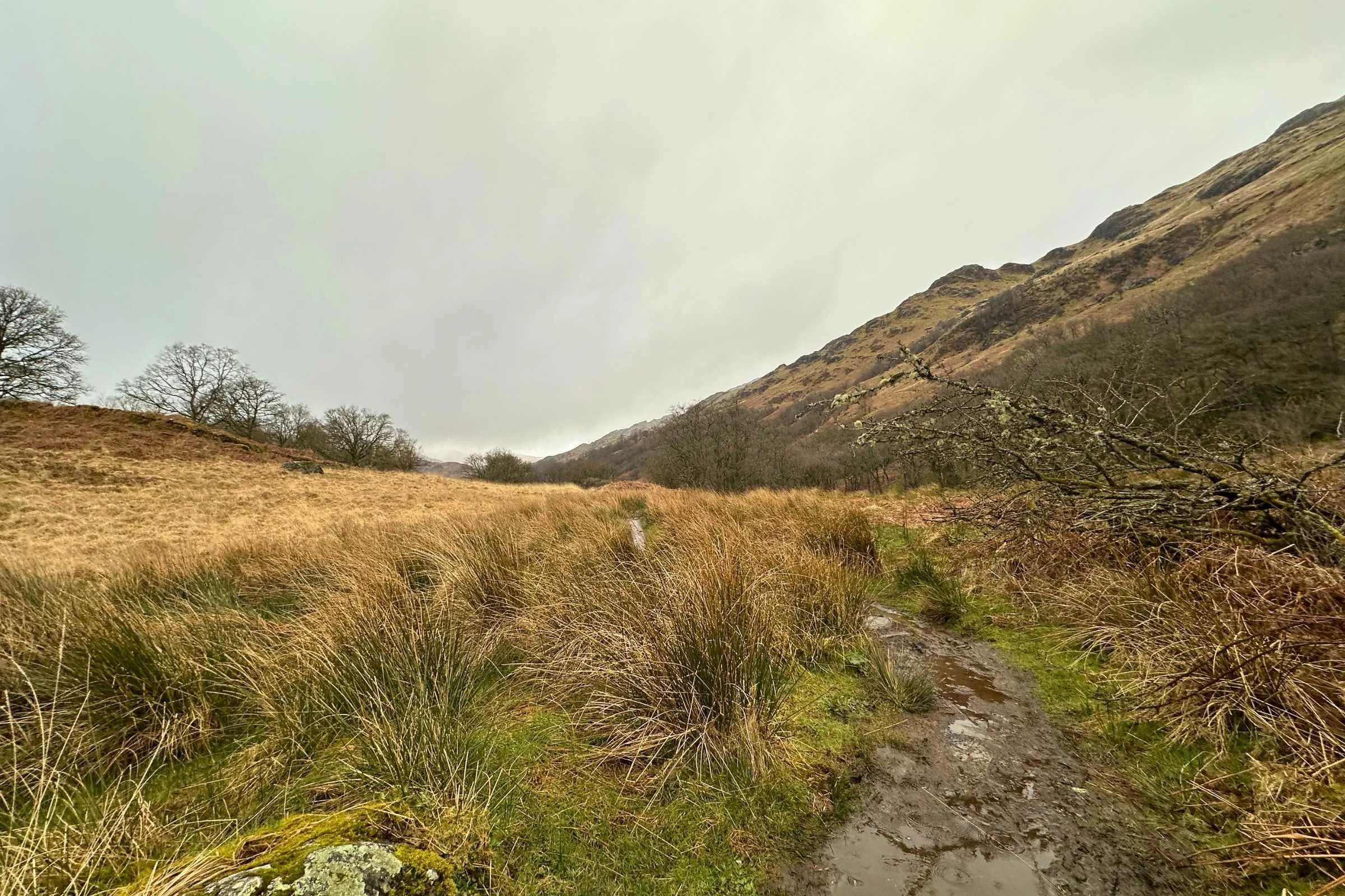
I hiked this trail in early Apri—a stormy time with frequent rain and occasional hail and rainbows over distant fields. All the snow on the trail had melted into mud and bountiful water sources, and only remnants of snow fields at distant higher elevations remained.
Early April on the West Highland Way may precede the famed gorgeous fields of wildflowers allegedly present in May and June, but it also precedes midge season! Midges are extremely annoying small bugs that have a penchant for flying into the faces of hikers and biting. Nearly every trail town with a stocked general store had a shelf for midge protection, including varieties of bug sprays and full-body bug netting to hike in as well as head nets. Thankfully we did not need any of these with it still being pretty cold out, but from May into autumn midge protection is an absolute must.
Your tolerance for swarming insects is definitely a factor to consider for the warmer, wildflower-strewn peak season that follows the chiller, less midge-y early spring. The most popular time to hike the West Highland Way is late spring through autumn. It’s an accessible and gorgeous hike and thus a popular one—towns, campgrounds, bothies, and single-file trail sections can get crowded during the peak season. Until the temperatures drop again, the midges are out and about, but there’ll be plenty of company around to commiserate with.
Hiking the West Highland Way in winter, though physically possible, is a technical pursuit for experienced winter hikers only and is an uncommon choice.
Difficulty and Skills
Navigation
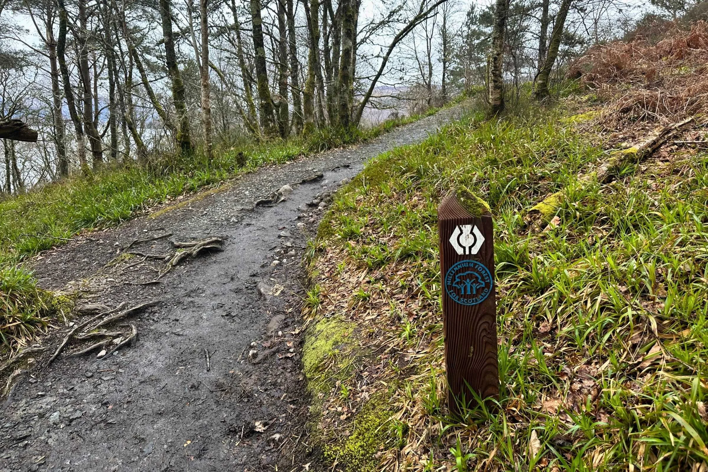
The West Highland Way is a well-marked, long-established path that's straightforward to navigate. Signs indicating distance to and the direction toward the next trail towns were abundant and there was no point at which the trail was difficult to identify or follow.
That said, navigational tools such as maps or offline trail guides prove helpful at occasional junctions with other paths or roads and for gauging distances of side trails into towns. Even on a trail as simple to follow as the West Highland Way, it's still wise to have a map or navigational tool for backup and additional information you may want. My personal choice was FarOut, not only for accurate locations of myself on trail and all kinds of waypoints such as towns, water sources, and pubs, but for the up-to-date comments from other hikers on the statuses of those waypoints.
Rough Terrain/Scrambling/Rock Climbing
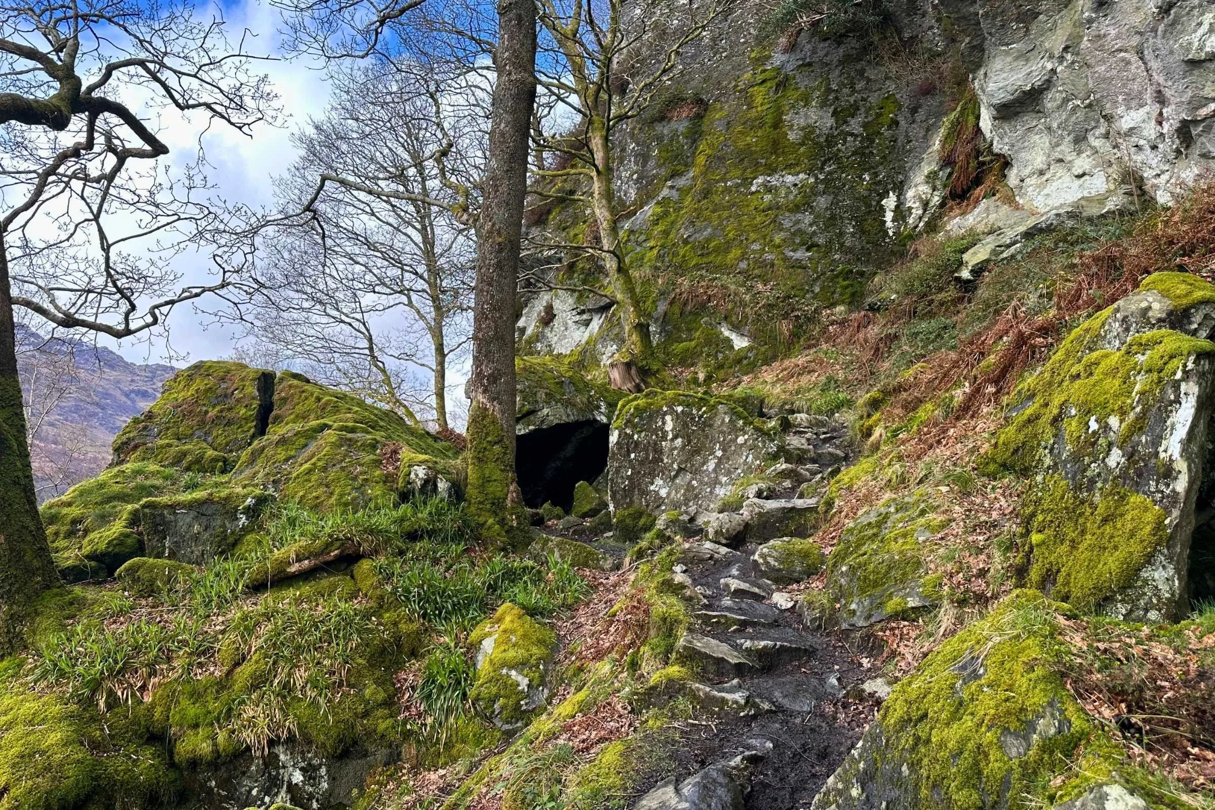
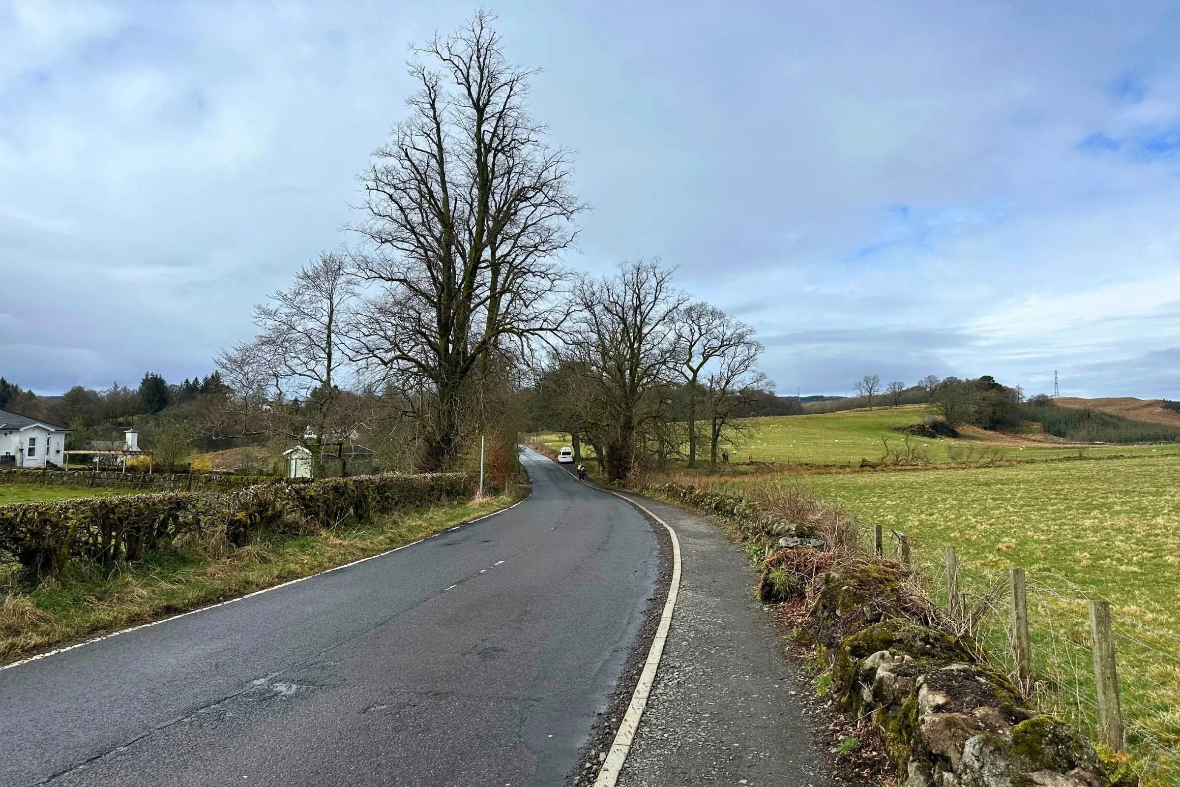
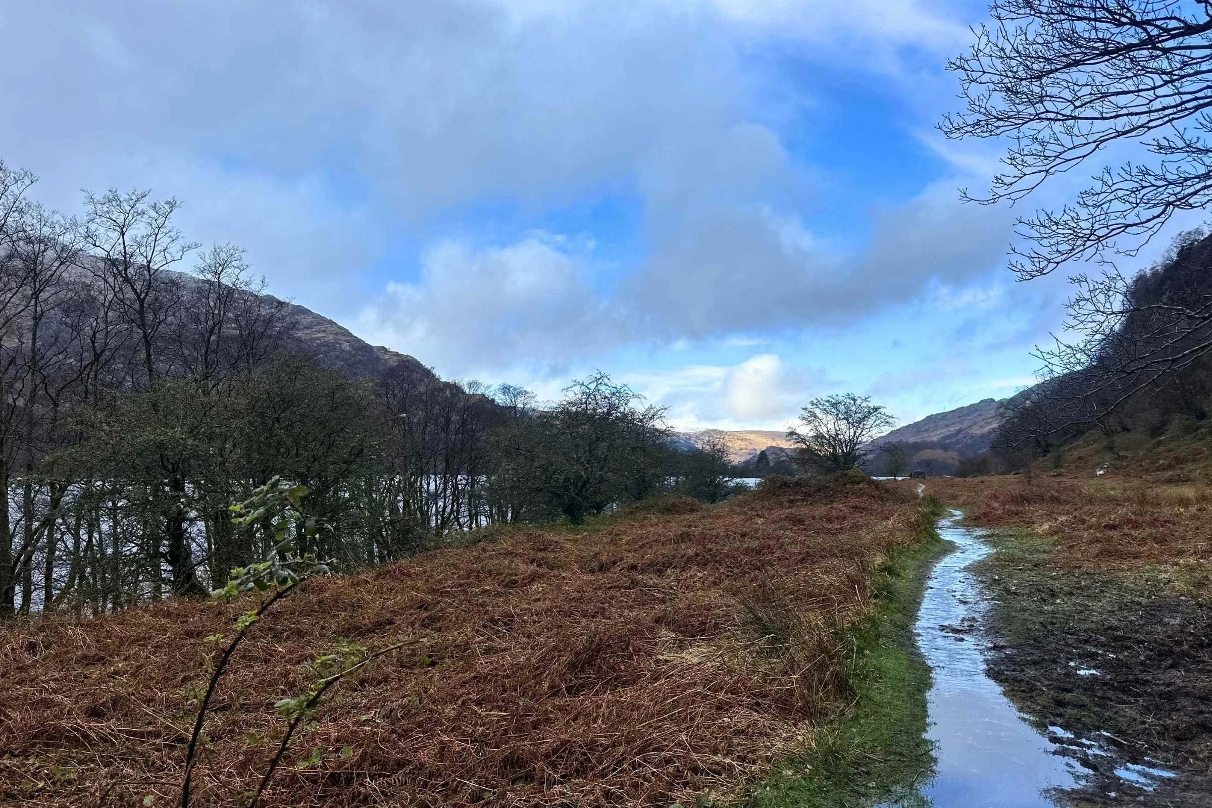
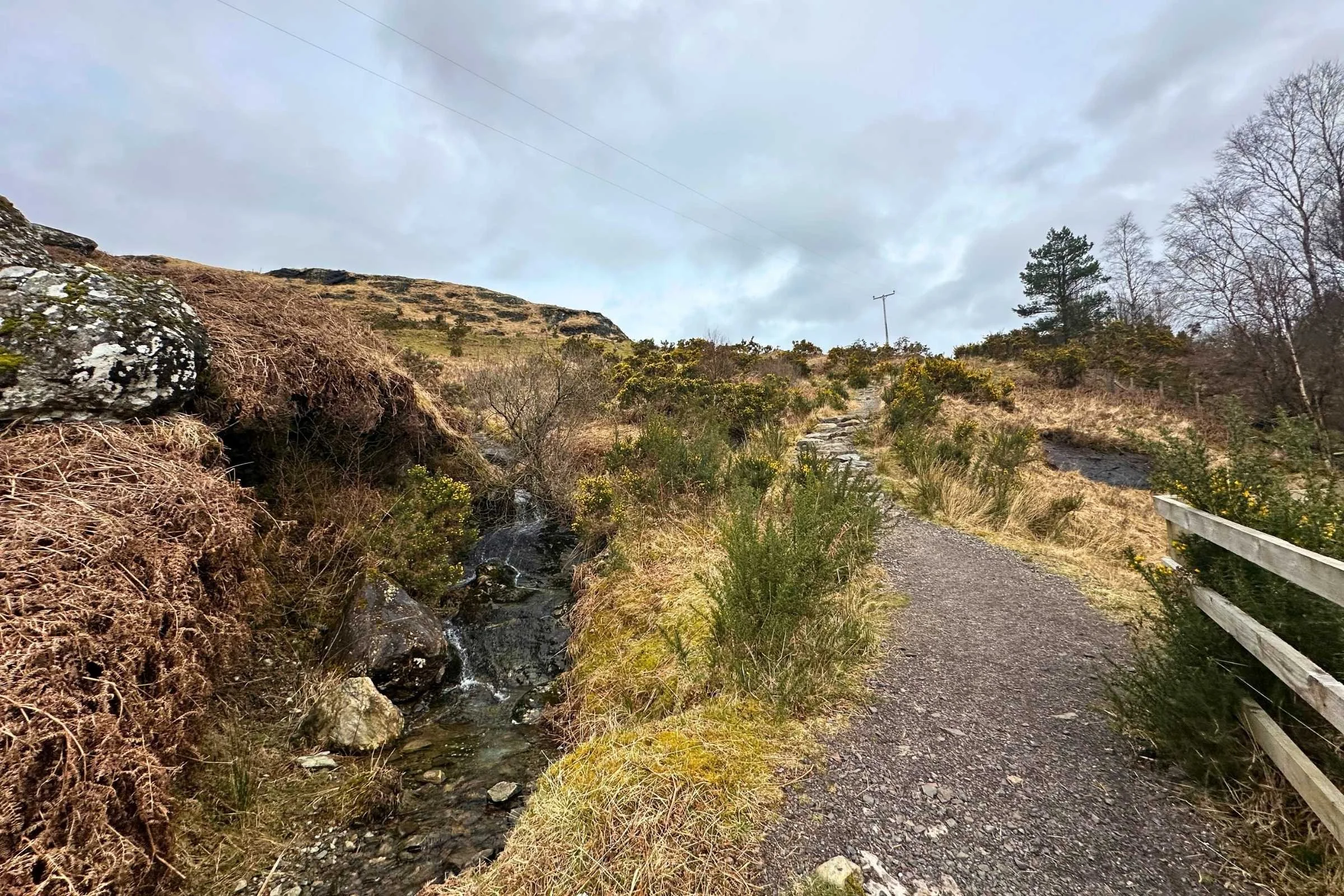
The terrain of the West Highland Way is not technical and is manageable for most hikers, though certain areas prove more challenging than others in a variety of ways. Muddier single-track trails can be soggy as the trail leads you out of Glasgow on bike paths and roads, and some of the occasional road-walk sections of the trail are on windy and narrow roads with minimal shoulders. The section of trail adjacent to the beautiful Loch Lomond, for example, is another single-track trail that skirts the wooded shores of the Loch and is rockier, rootier, and often can be slippery– as can many other areas of trail during the rainy season when it’s muddy.
Further north in the Highlands, sun exposure is more of a risk and during storms the lack of tree cover can be alarming for some. There is no scrambling or rock climbing required on the West Highland Way.
Elevation Gain/Elevation Loss
For the duration of the West Highland Way, you'll be hiking up and down rolling hills with occasional steeper climbs—including the notable Devil’s Staircase and long descents such as that into Kinlochleven. Despite its intimidating name, the climb to the top of the Devils Staircase is shorter and far less steep than feared—a little over 800 feet of elevation gain as nicely graded as the rest of the trail, so it’s not technical in any way. For those with U.S. east-coast hiking experience, the Staircase is very chill in comparison.
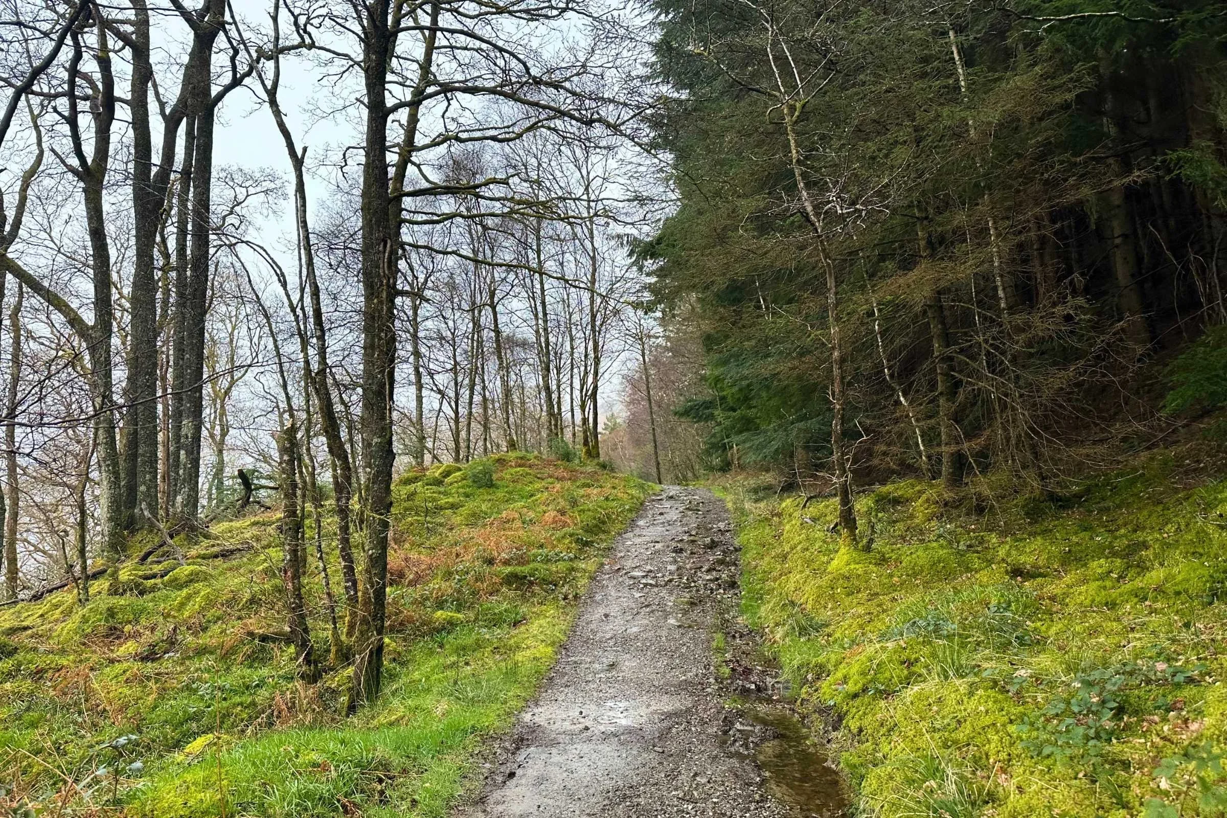
The overall trail is not steep, either, with gently graded ascents and descents through mixed terrain—rocky paths interspersed with the rooty, muddy, and rocky loch side trail and gravel roads throughout, ending with smooth track through livestock fields and old roads through the highlands. By and large, the trail remains at a relatively low elevation with the highest point being 1,800 ft/549 m at the top of the Devil’s Staircase.
Permits
There is no permit needed for the West Highland Way itself. However, permits are needed to camp in the area of Loch Lomond and the Trossachs National Park– these are easy to obtain online. From March to September, these low-cost, per-tent permits are needed for camping within the park’s designated Camping Management Zones– they allow camping within the park while helping preserve the lochside environment.
Scotland is known for its 2003 Land Reform Act which allows people the “right to roam” and recreate responsibly in the outdoors– this means that everyone has the right to access most non-residential land and inland water throughout Scotland. While wild camping and exercising your right to roam, remember to observe the Scottish Outdoor Access Code and keep the spaces you’re exploring wild.
Additionally, there are different requirements for entering Scotland as a foreigner depending on the country you're traveling from. For example, from the United States, an Electronic Travel Authorization or ETA is required and must be obtained before entry into the U.K.
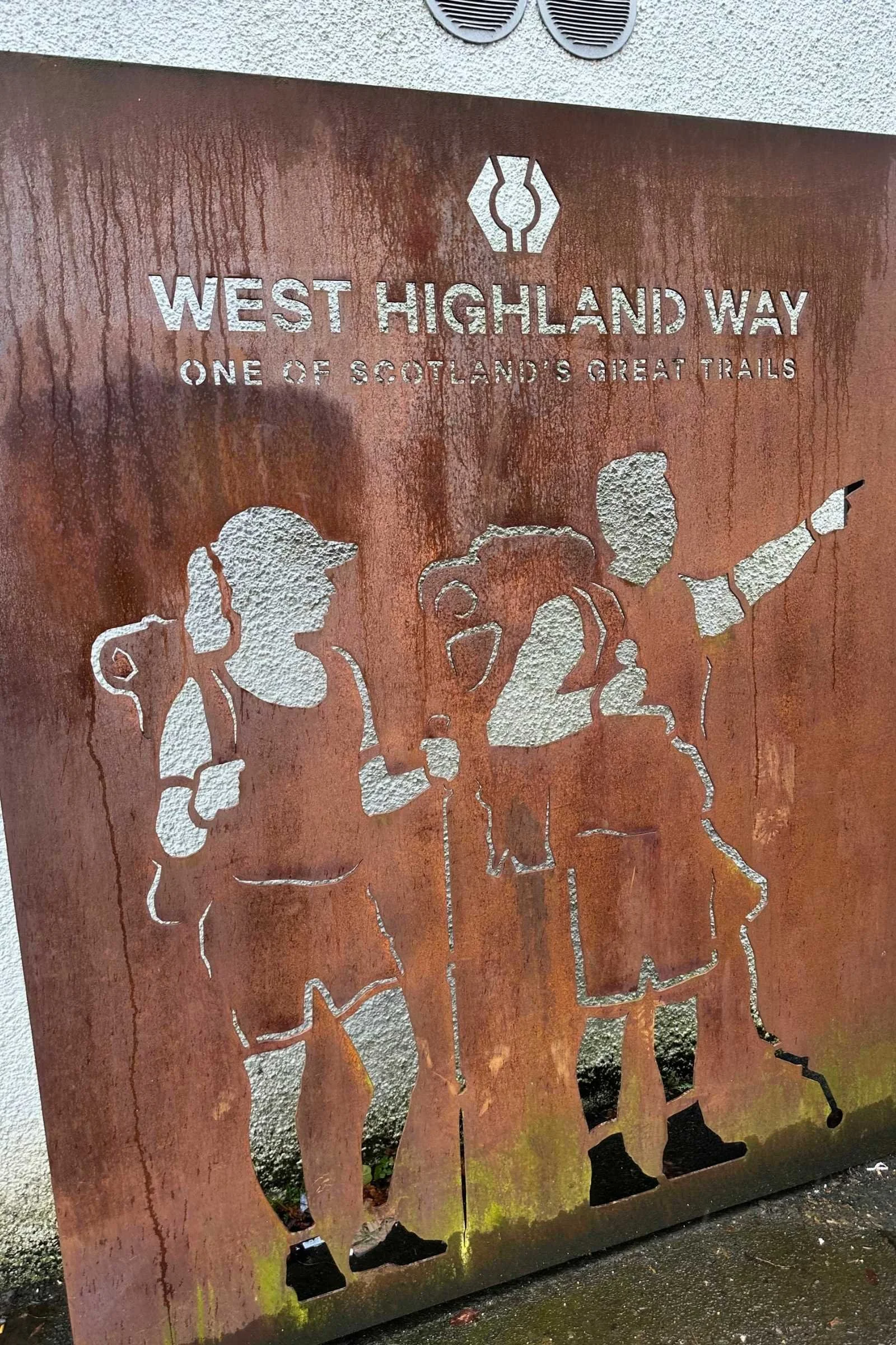
As you turn from the town of Milngavie onto the first steps of the West Highland Way, this sign is there to greet you.
Route Summary
Day 1: Milngavie to Drymen (Drymen Camping), 11 miles
We began our first day with an easy 25 minute train ride from Glasgow Queen Station to Milngavie, where we began walking in the rain on a gravel path near the residential areas of Milngavie towards fields of sheep and farmland on roads and dirt paths towards Drymen. Note: there is an approach trail of urban and bike paths from Glasgow to Milngavie for those seeking a continuous footpath, longer first day, or more of a mental and physical warm-up for the trail.
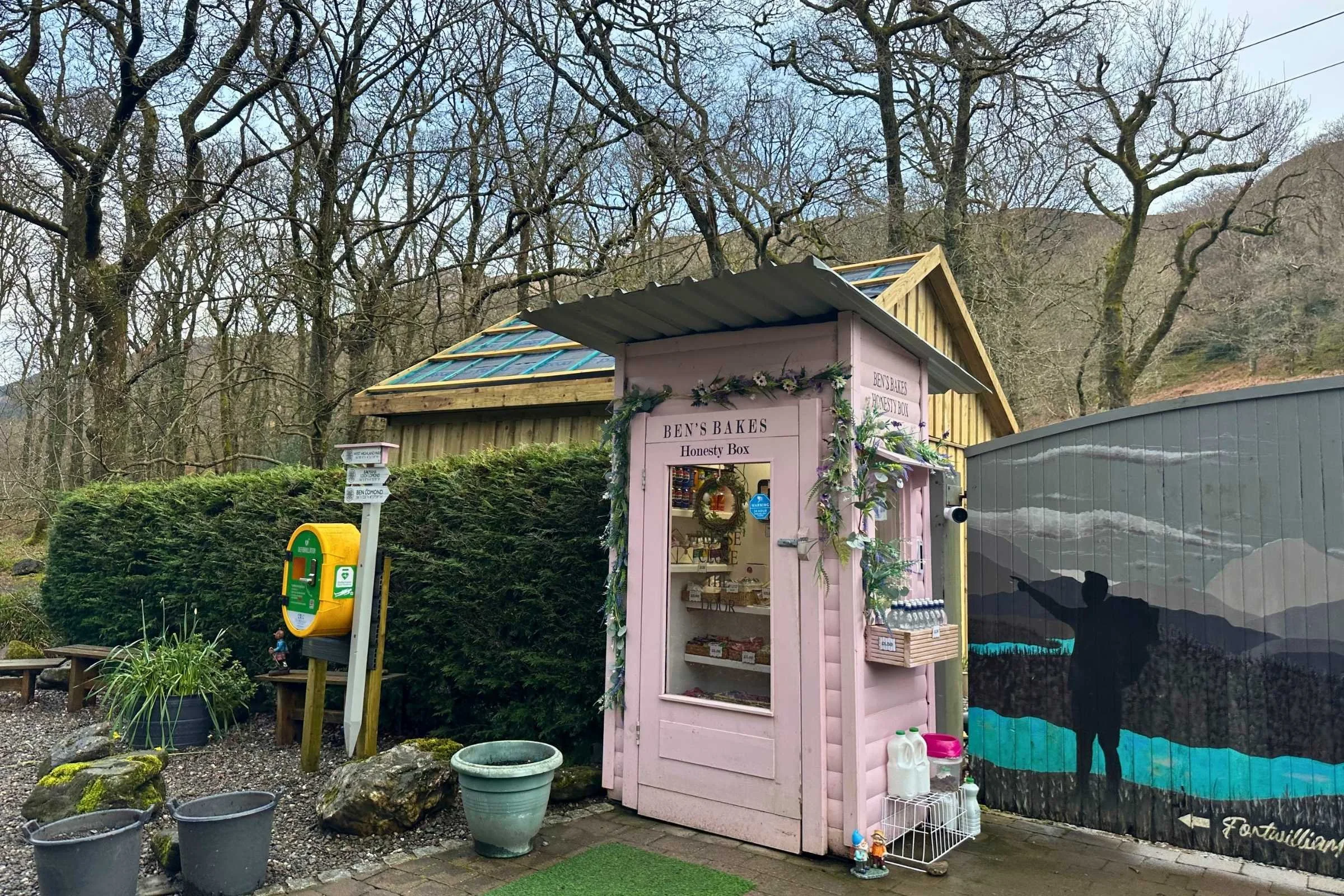
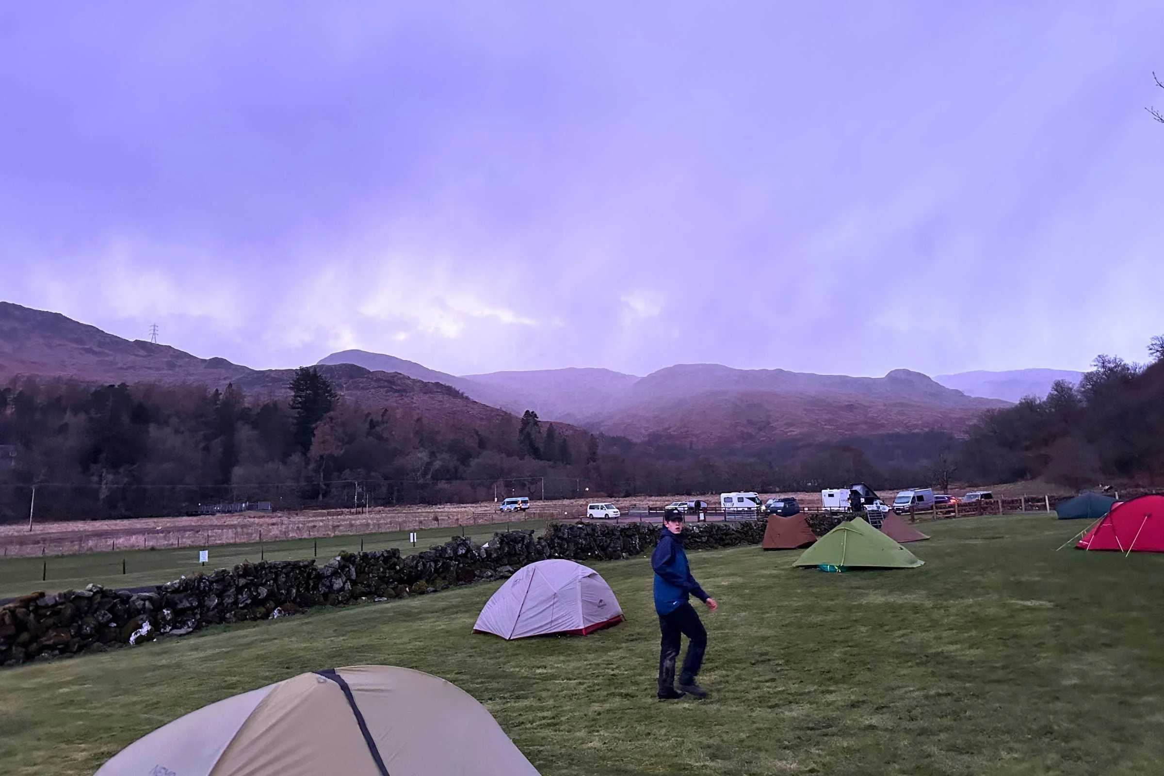
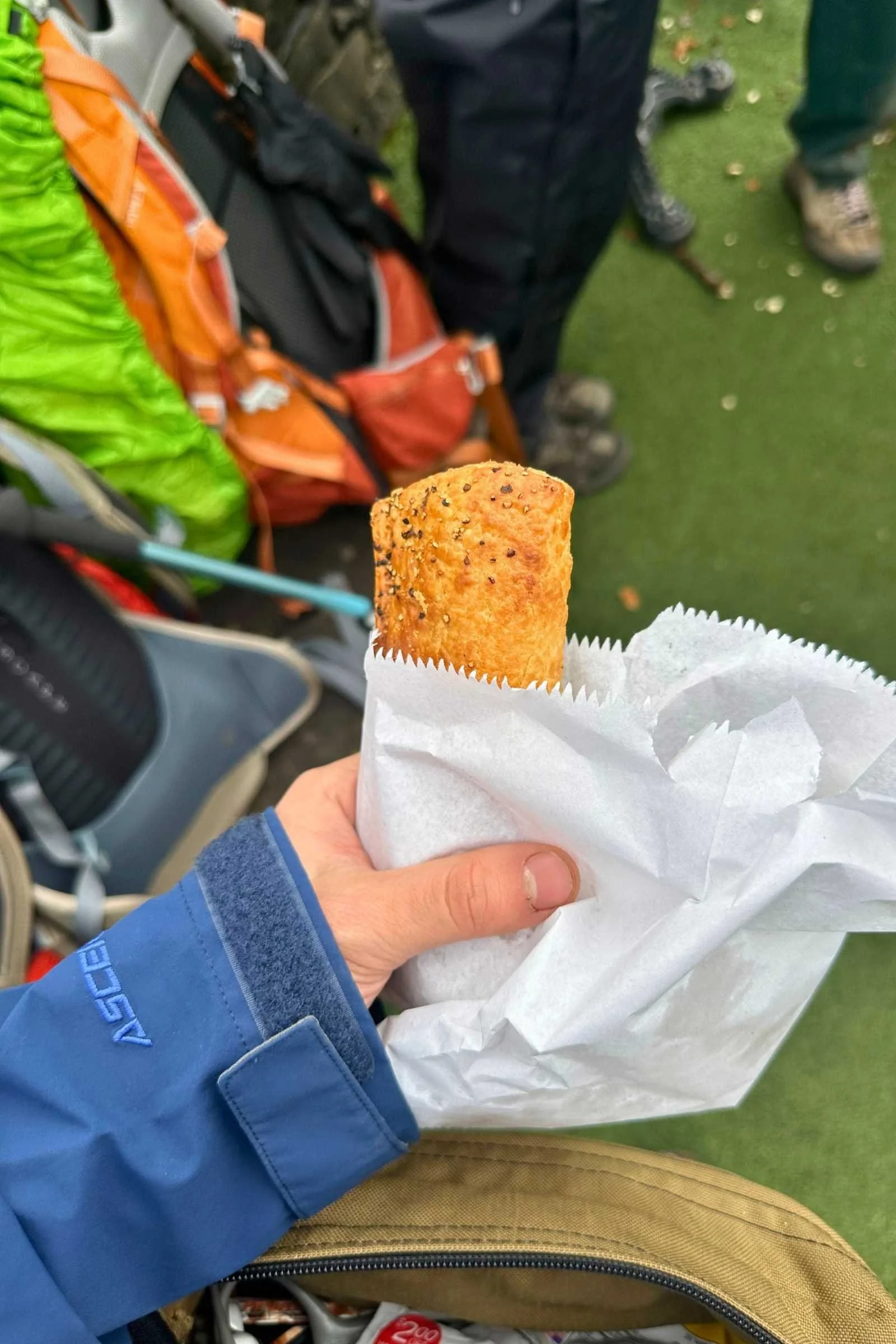
On the way, we passed the Beech Tree Inn and grabbed a quick bite of hot food and a peek at some Shetland ponies, as well as our first “Honesty Box”—an unmanned stop with snacks and drinks, often baked goods, for sale—further down the way. Stopping at Drymen Camping for our first night, we tented and dried our things in their spacious drying area for wet gear and picnic tables on which to cook dinner on camp stoves, showers and bathrooms, and charging station for electronics. This campground also features a small resupply store.
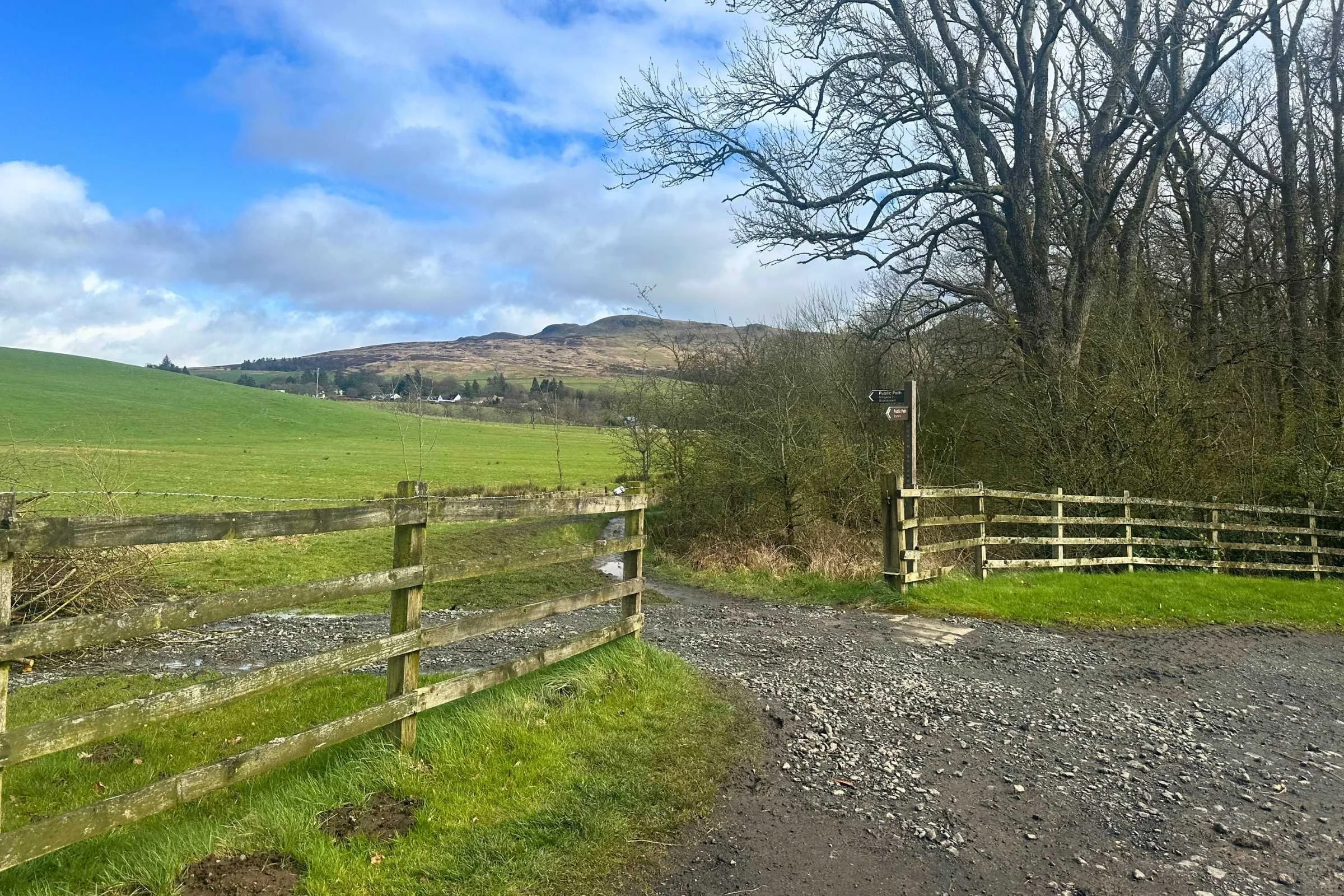
The first day held many gravel paths through road-adjacent fields of sheep.
Day 2: Drymen to Rowardennan (Rowardennen Lodge Youth Hostel), 16.5 miles
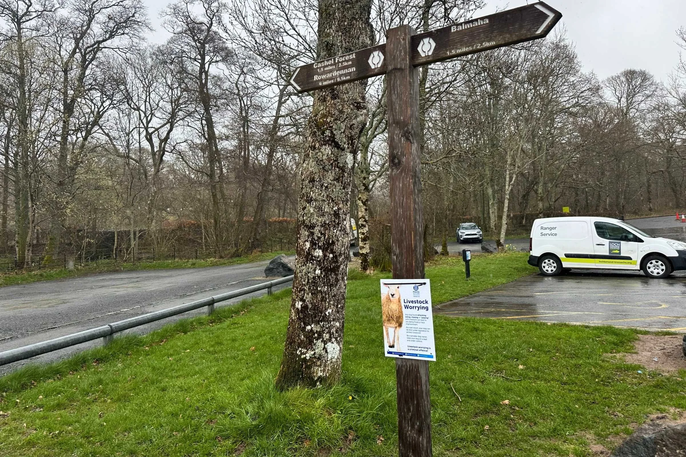
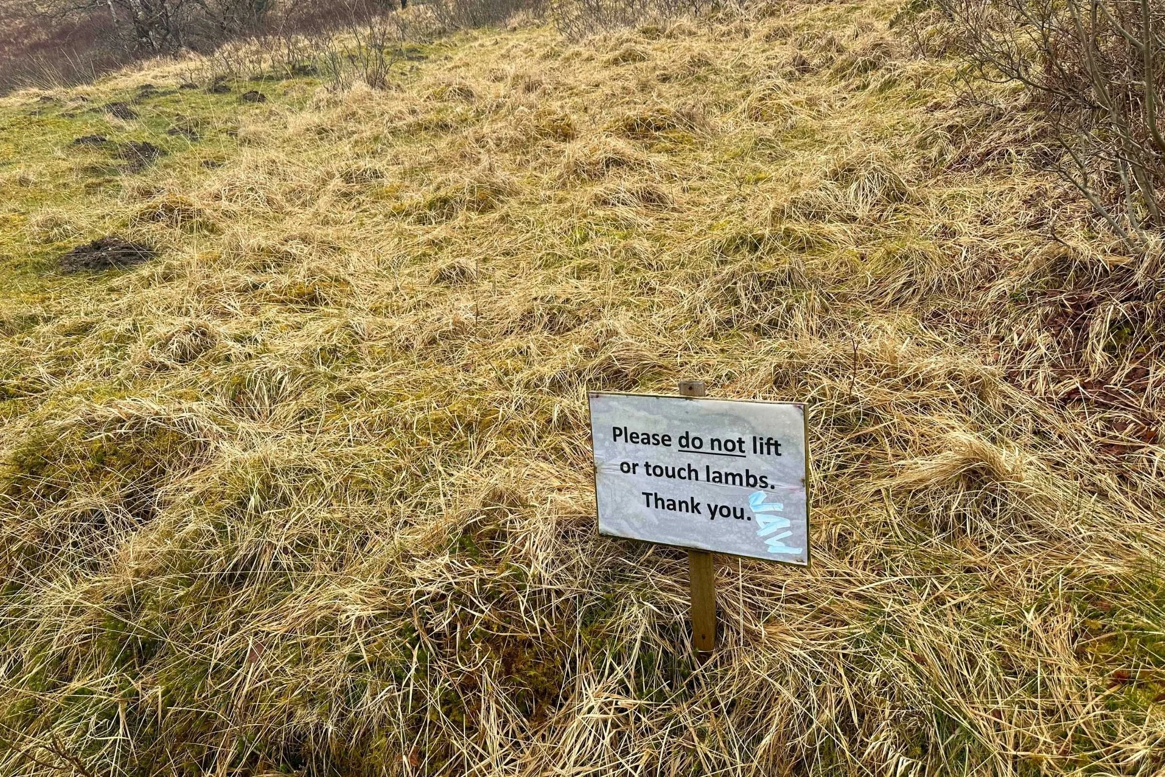
Do not worry the livestock! Seriously. Leave them alone.
From Drymen, the trail continues towards Loch Lomond National Park. Plans to camp at one of the official campsites were thwarted by the arrival of Storm Dave so we reserved a 6-person bunk room for our 6-person group at the Rowardennen Lodge Youth Hostel and set out.
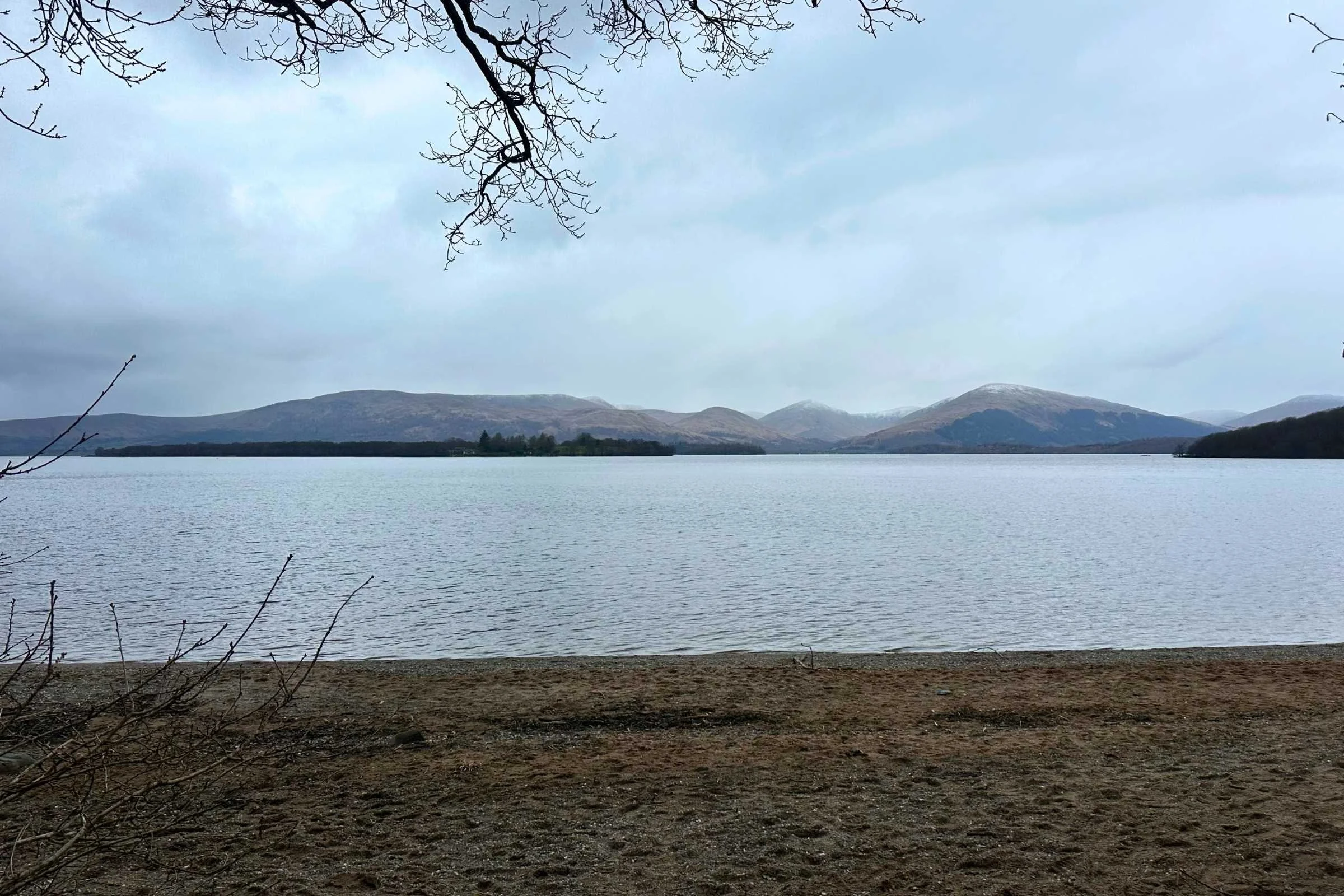
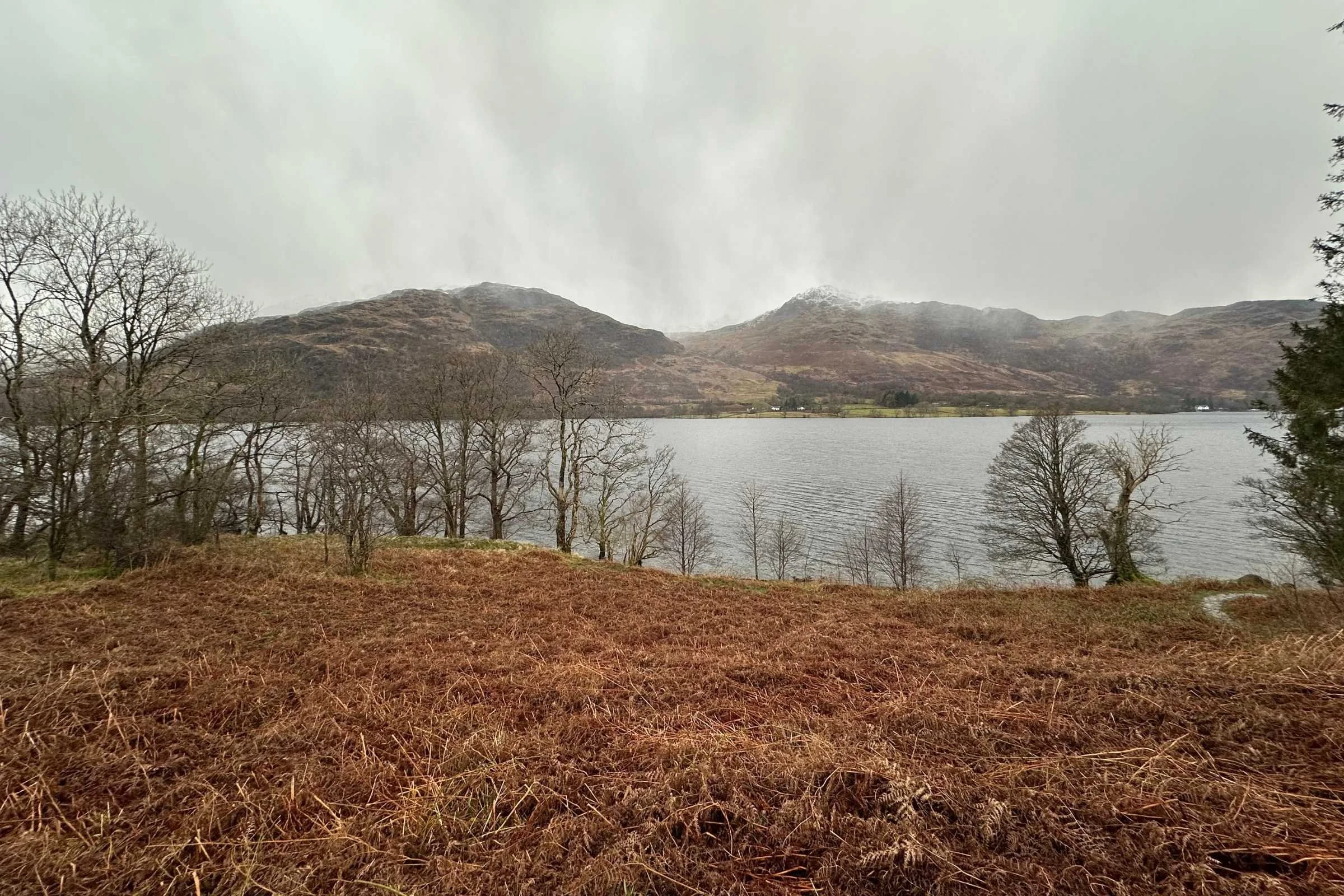
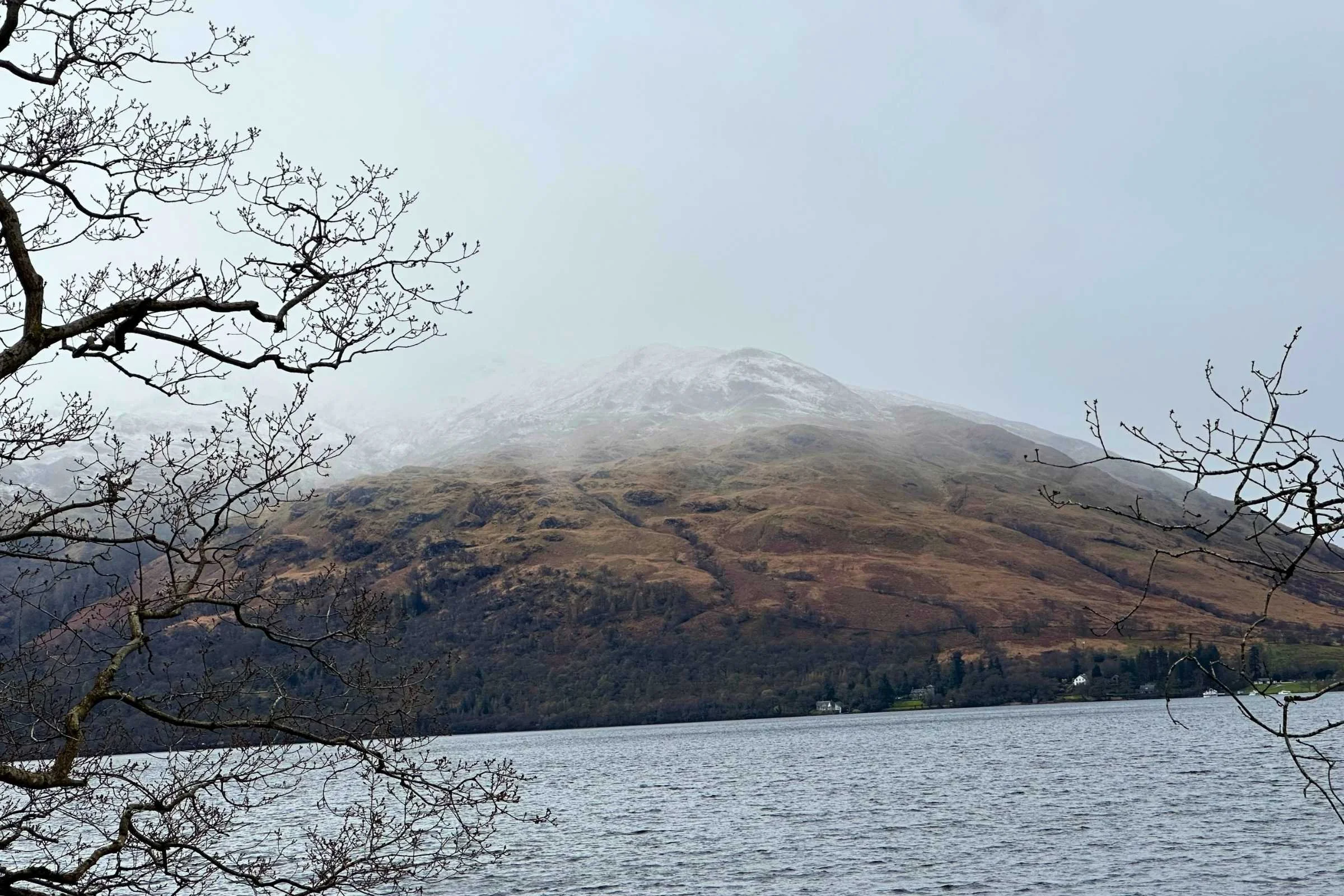
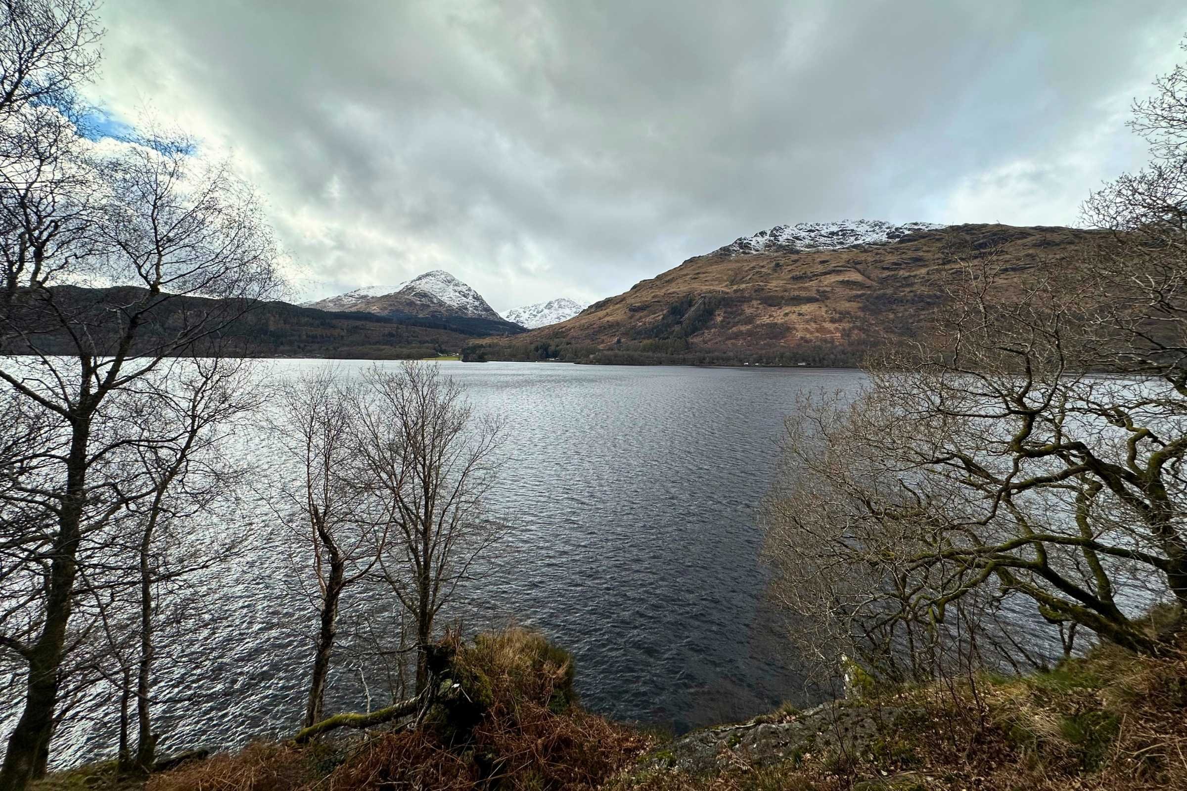
Loch Lomond was outstandingly, absolutely incredibly beautiful, with snow-capped mountains overlooking it. On the way to Rowardennen is the town of Balmaha, with a SPAR Market (small grocery store) across from a delightful little coffee shop. We met two of the Park Rangers at the coffee shop in Balmaha and they were wonderful to chat with.
The bunkhouse at the Rowardennen Lodge Youth Hostel is an affordable option and rooms with bunks split among friends are also available. Some snack food is sold here but the selection is sparse—purchase food ahead of time and take advantage of the kitchen and vast fridge space available for use.
Day 3: Rowardennen to Inverarnan (Beinglas Farm), 14 miles
Leaving Rowardennen in the pouring rain and continuing on towards Inverarnan, the weather changed drastically and rapidly throughout the day. Flashing moments of bright, beaming sun gave way to hailstorms and rainstorms and hailstorms again and again as we trudged on through the muddy rocks and roots alongside the shores of Loch Lomond, marveling at it all in spite of the hail.
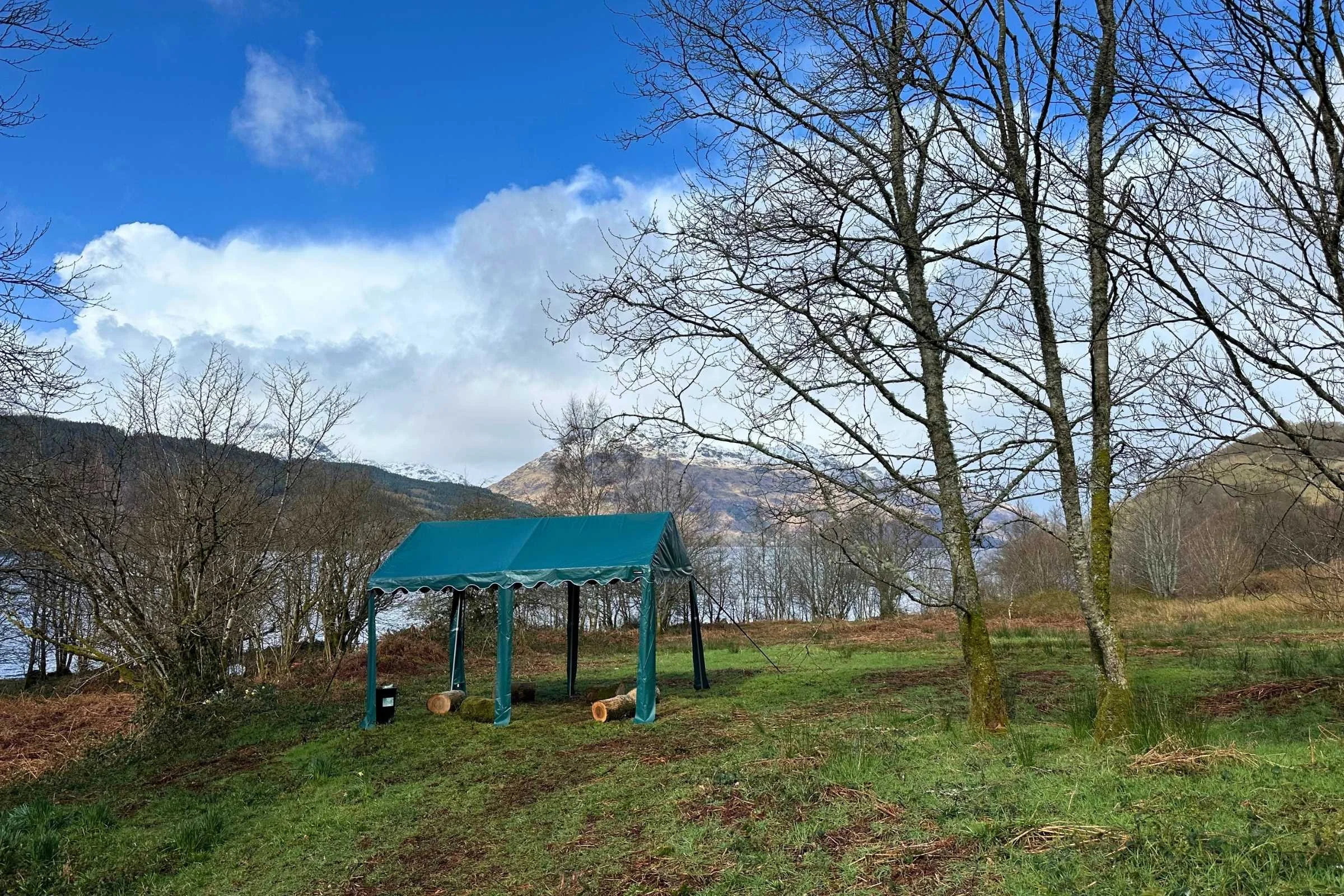
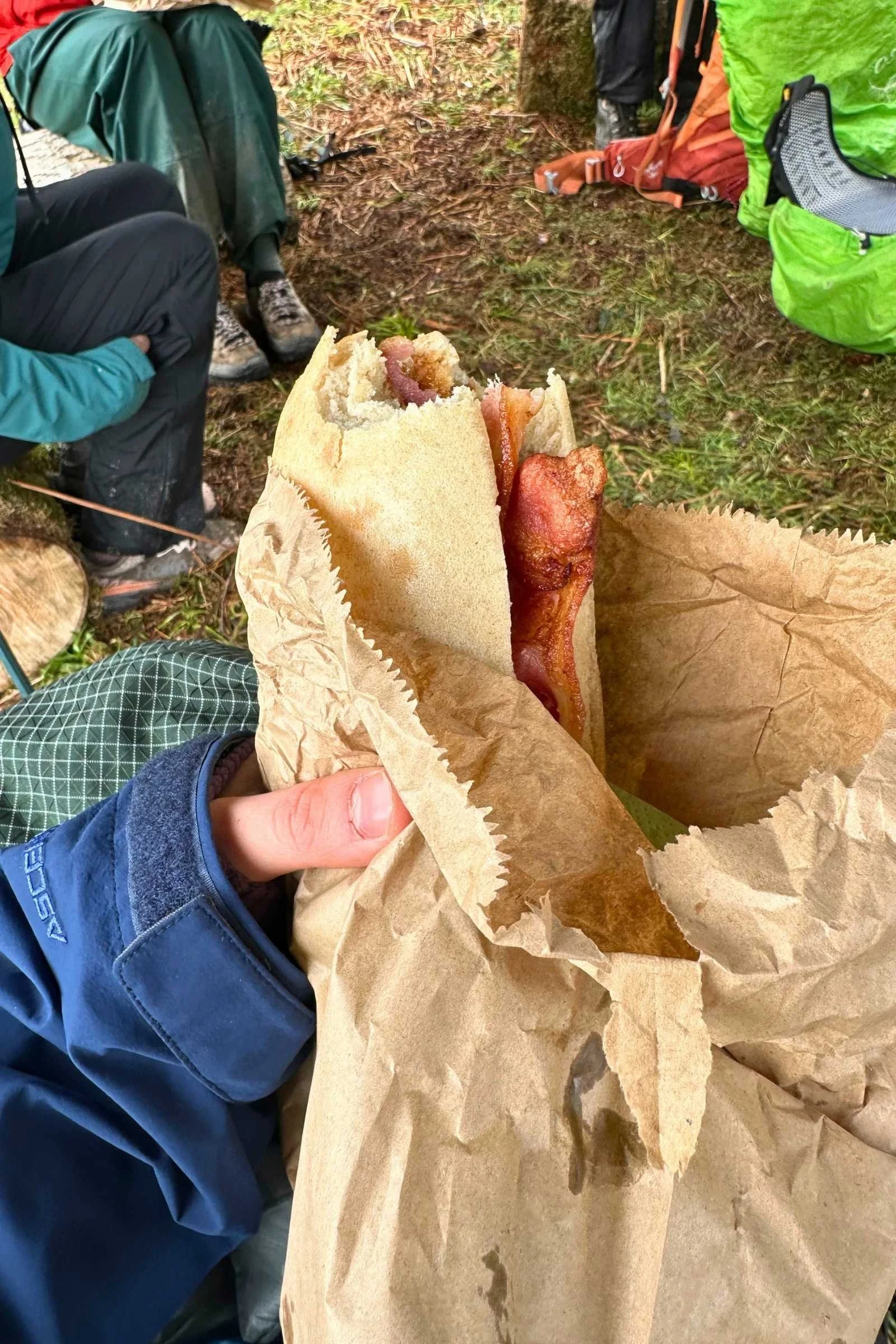
As the rain slowed, we came upon a pop-up cafe with a canopy under which to hide from inclement weather while eating a roll with fresh bacon and drinking a hot coffee– a wonderful surprise in the middle of the first true variable Scottish weather day. We parted ways with some of our group in the afternoon, planning to eat dinner and sleep in our first bothy.
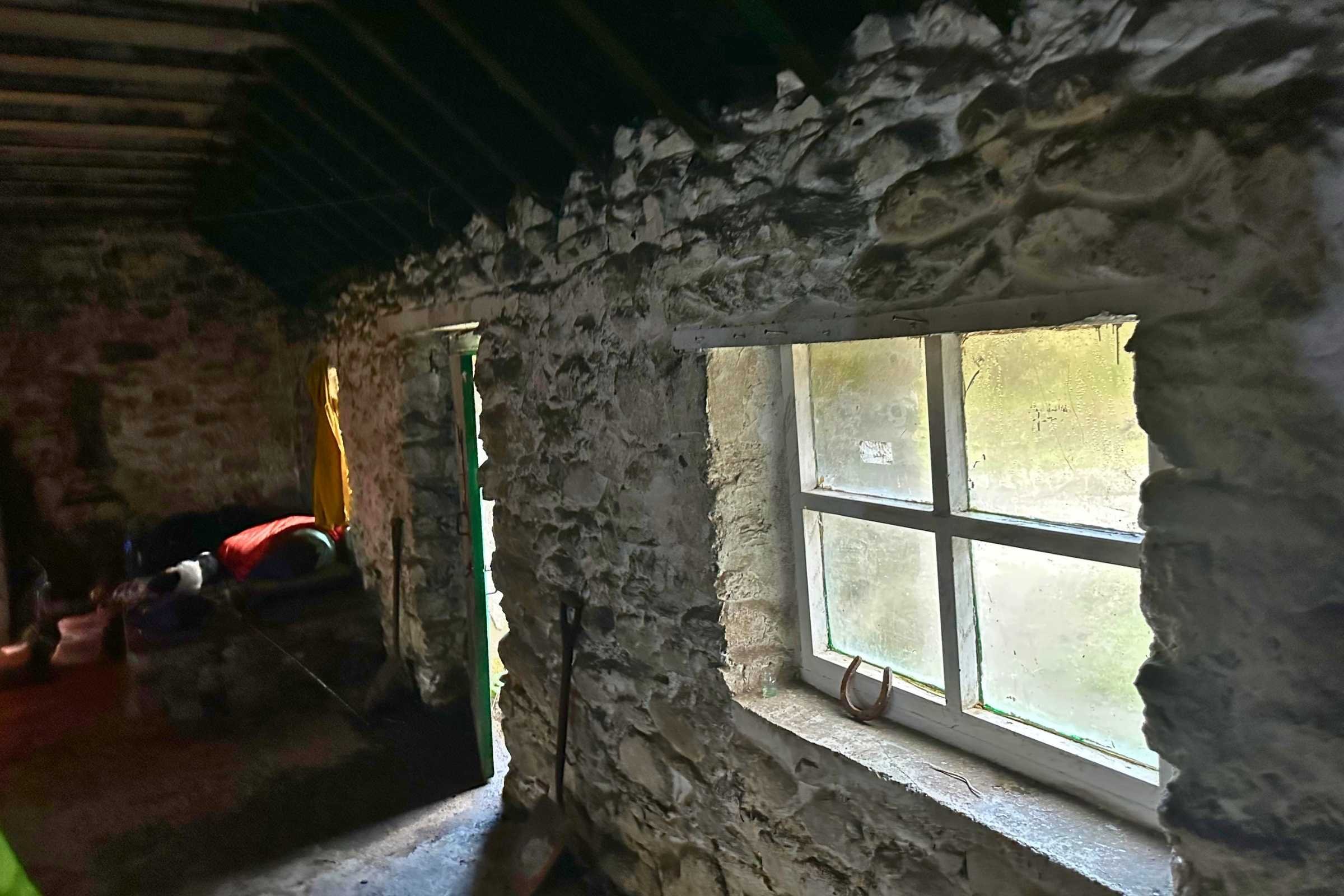
A quick dinner stop in Doune Bothy, an old shepherd’s shelter where hikers can stay for free with four walls, a door, and a fireplace reminded our dwindling group about the importance of not burning plastic, keeping your dogs under control, and most importantly, picking your battles and hiking on to Beinglas Farm, a great spot to spend the night. Long story. Beinglas Farm offers tenting and has a pub that also serves breakfast as well as showers, bathrooms, and a resupply store.
Day 4: Inverarnan to Tyndrum (By the Way Hostel and Campsite), 12 miles
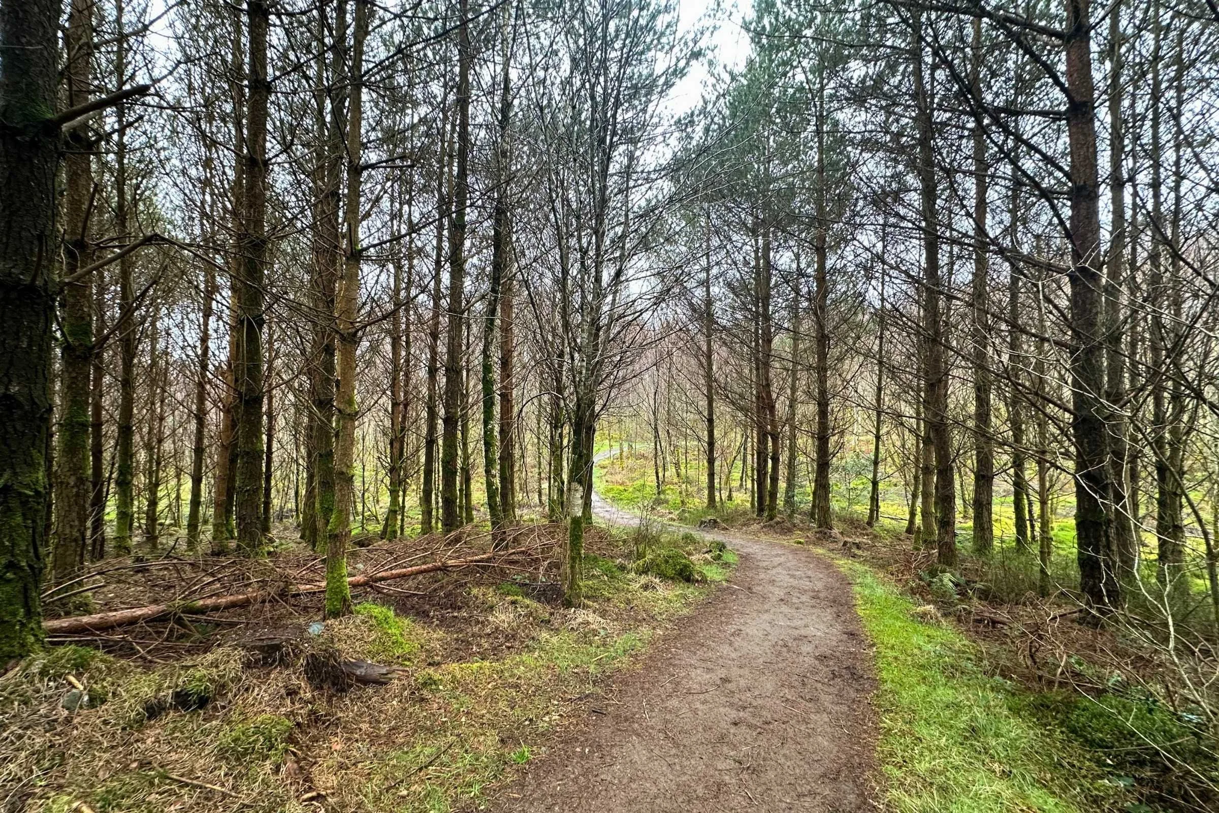
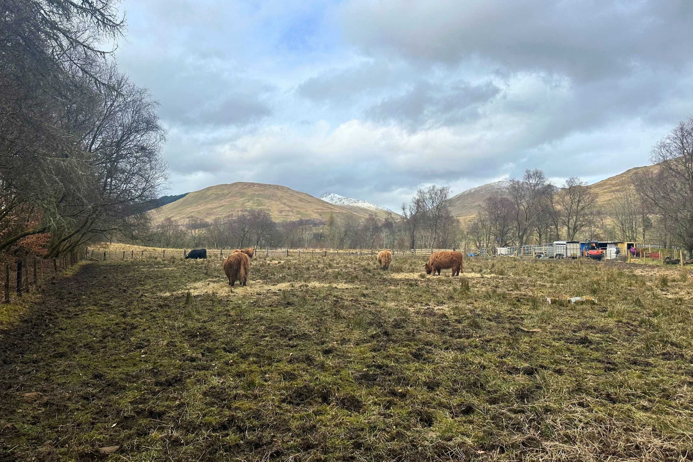
Onward and upward into the Highlands, a fantastically sunny day on paths through fields of grazing sheep, reforestation areas, a farm of Highland cows. On this sunny day I was once again grateful to trail crews and maintainers for stepping stones through the muddiest spots.
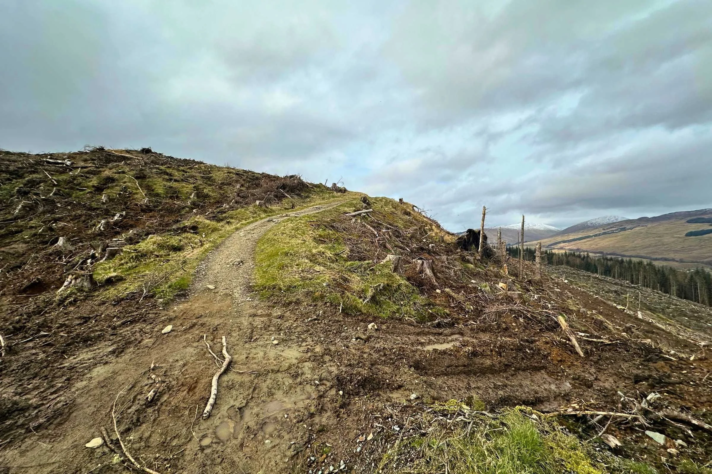
Trees and mossy knolls decorated the gravel paths interspersed with dirt trail to Tyndrum, where a cute hobbit-hole type accommodation awaited at the By the Way Hostel and Campsite. Tyndrum is a well-stocked town with good restaurants and pubs including the Real Food Cafe, which is a very worthwhile stop– hiker-sized portions, great vibes, and a plethora of baked goods and other snacks.
Day 5: Tyndrum to around the Ruins of Bá, 15 miles
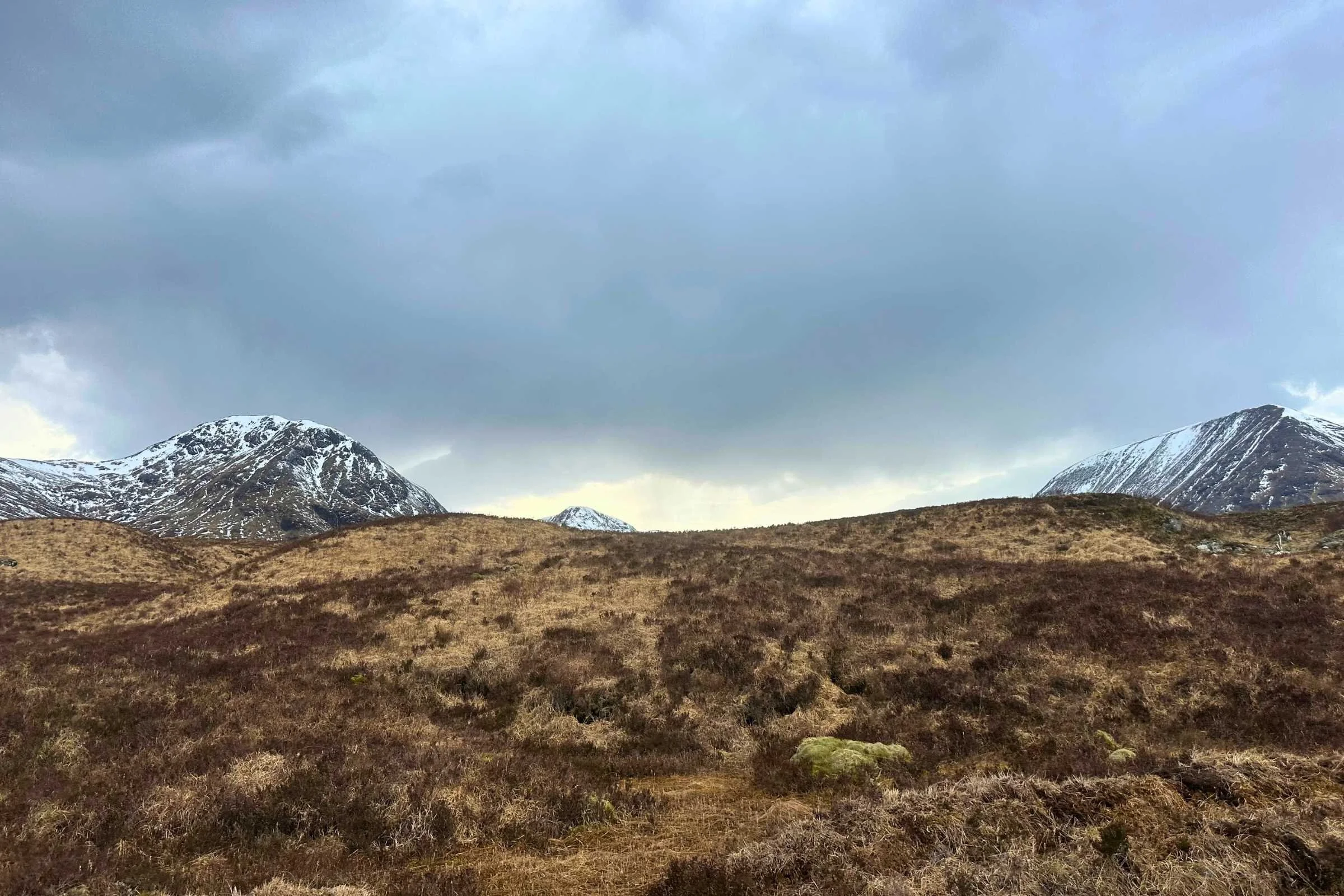
Another gorgeous and sunny day saw us off from Tyndrum into the highlands for a night of wild camping. On the way, we stopped at the awesome Bridge of Orchy’s pub and hotel for a midday coffee and brew in their outdoor seating area.
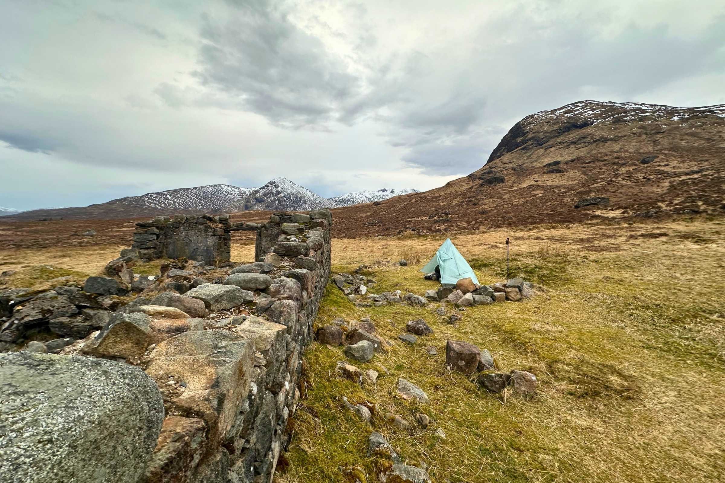
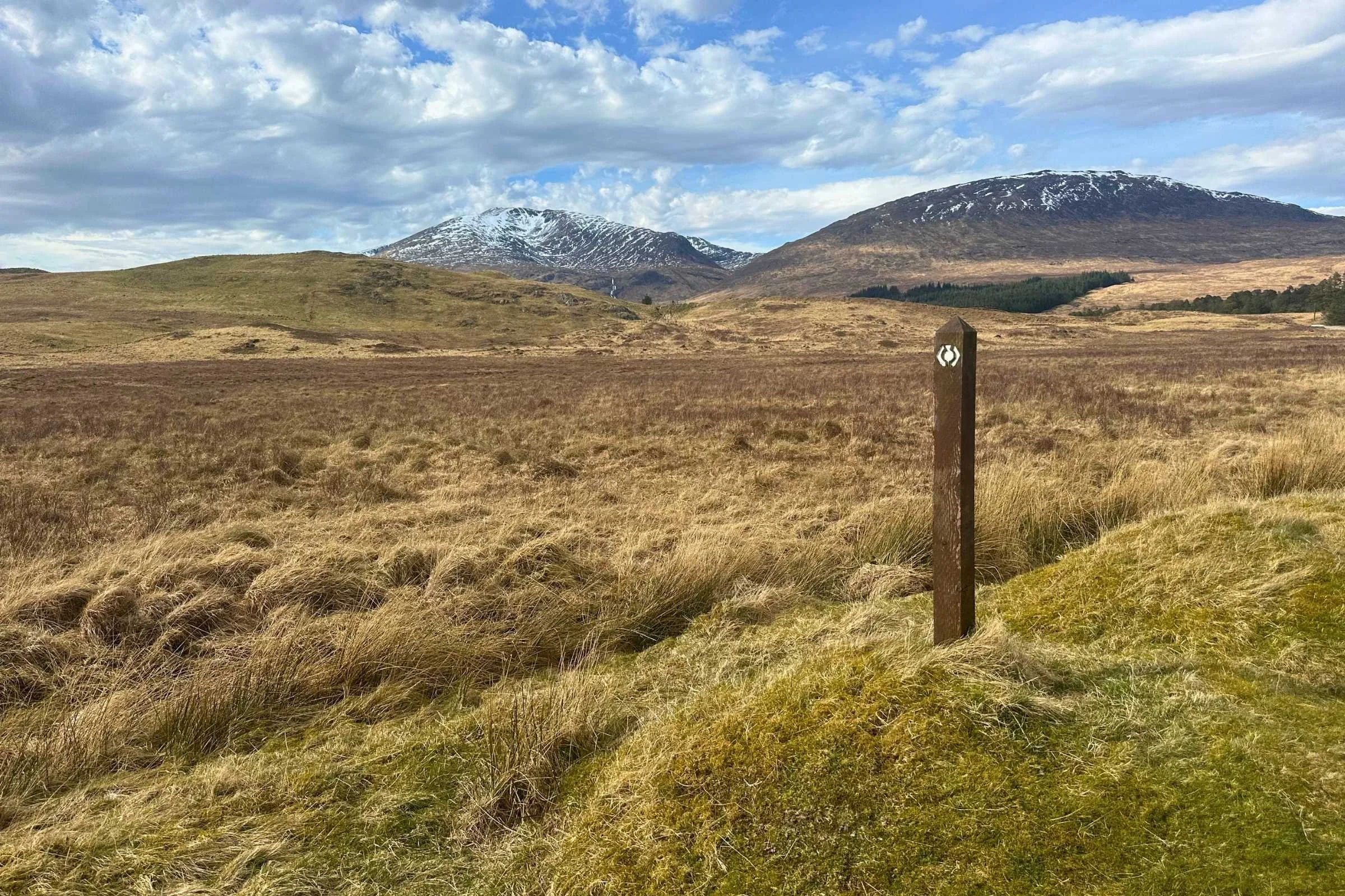
Continuing through hills of bare grassland towards the snowy mountains in the distance, a campsite nestled near streams of the River Bá and near ruins of an old, old house was one of the most wonderful places to camp I’d ever experienced. The water filtered from those streams was delicious, too, just had that certain pizzazz. Perhaps I was just dehydrated. Who’s to say?
Day 6: Ruins of Bá to outside Kinlochleven, 13.8 miles
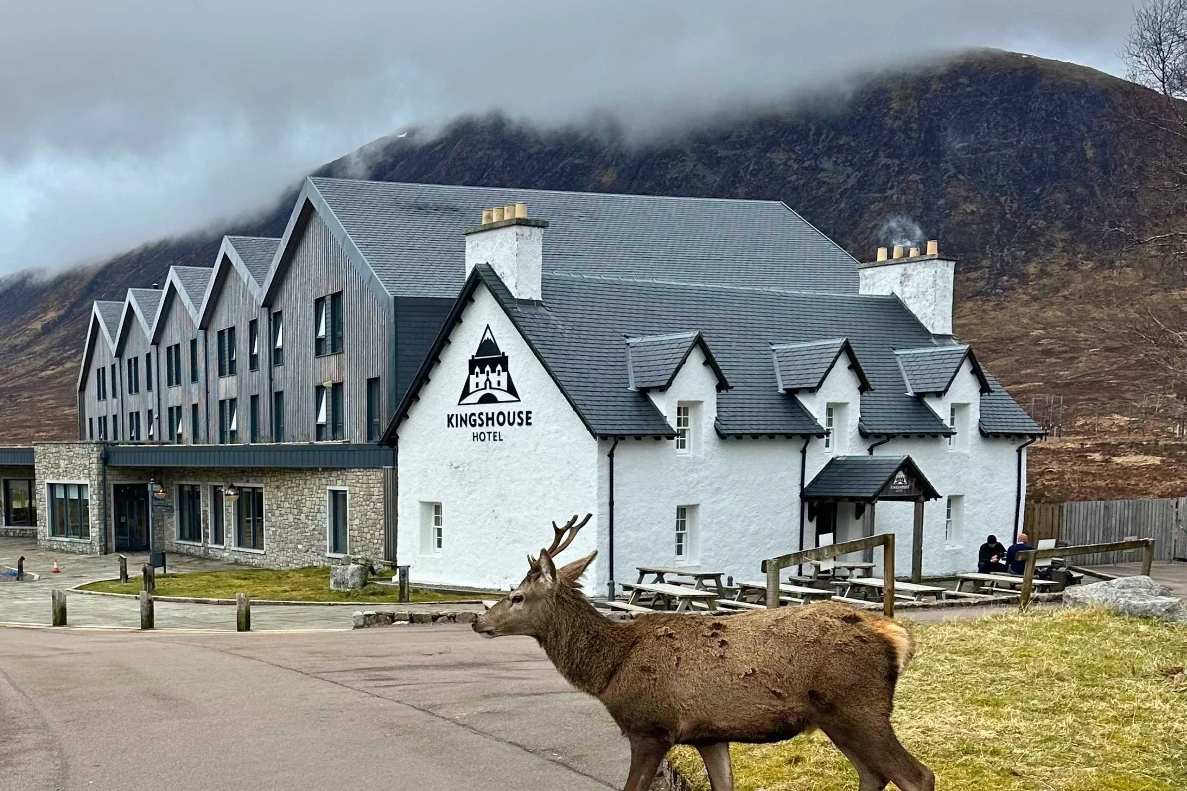
From the ruins of Bá we went to the Kingshouse Tavern for another coffee and bacon roll, and to see this partially-modernized and expanded 18th century drovers’ stop– a place where drovers who herded livestock over long distances such as through mountain passes to new grazing lands could stop for food and lodging. It was worth the stop just to see the building—the coffee, food, and snacks for sale were a bonus.
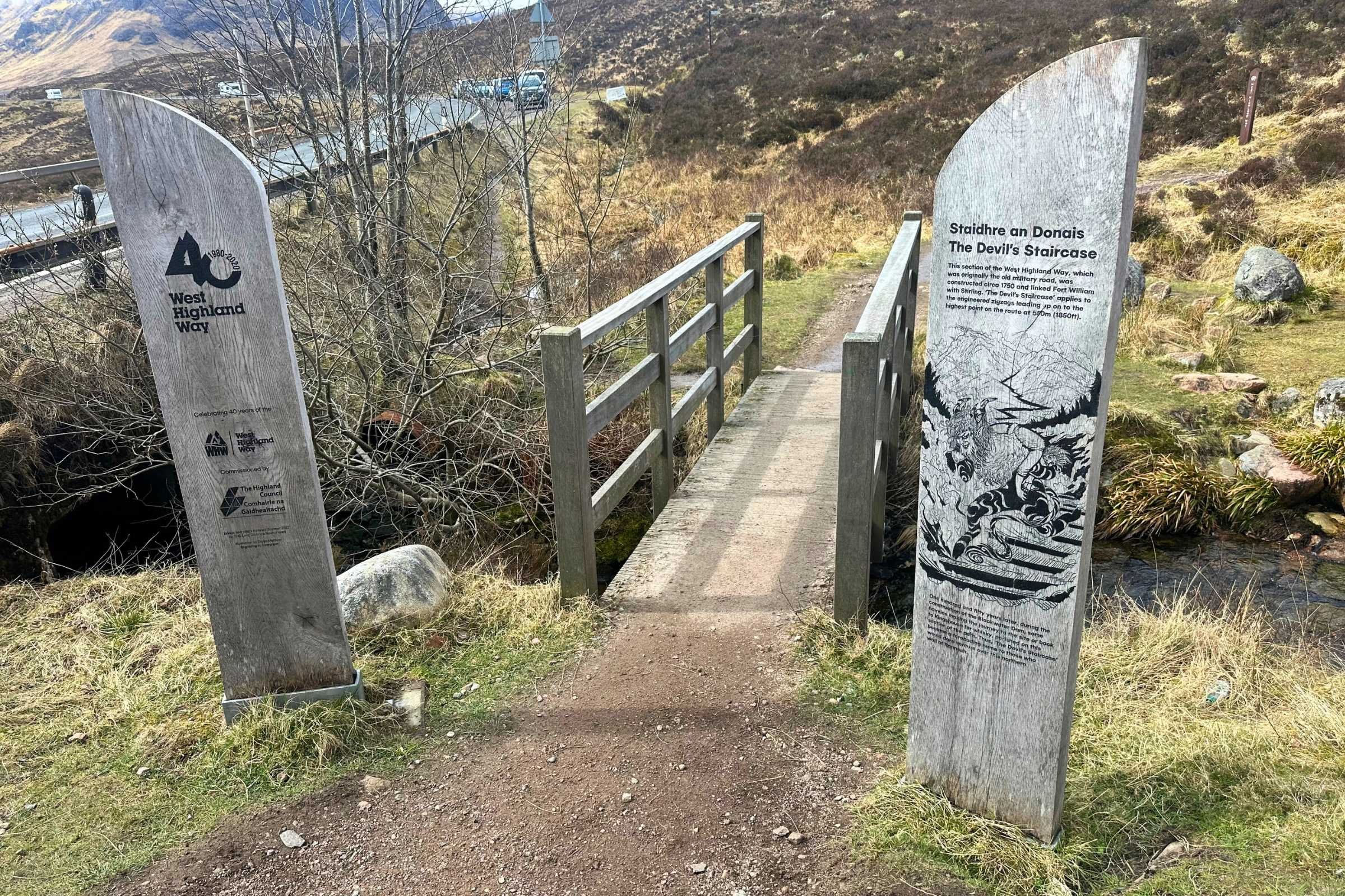
Then came the Devil’s Staircase, the mile-long, 800+ and steeper climb up to the highest point on the West Highland Way where luck smiled upon us and gave us a sunny albeit windy summit with incredible views all around. The climb was not nearly as bad as the name made it sound, and it was nicely graded with plenty of passing room and hikers of all itineraries coming up or headed back down.
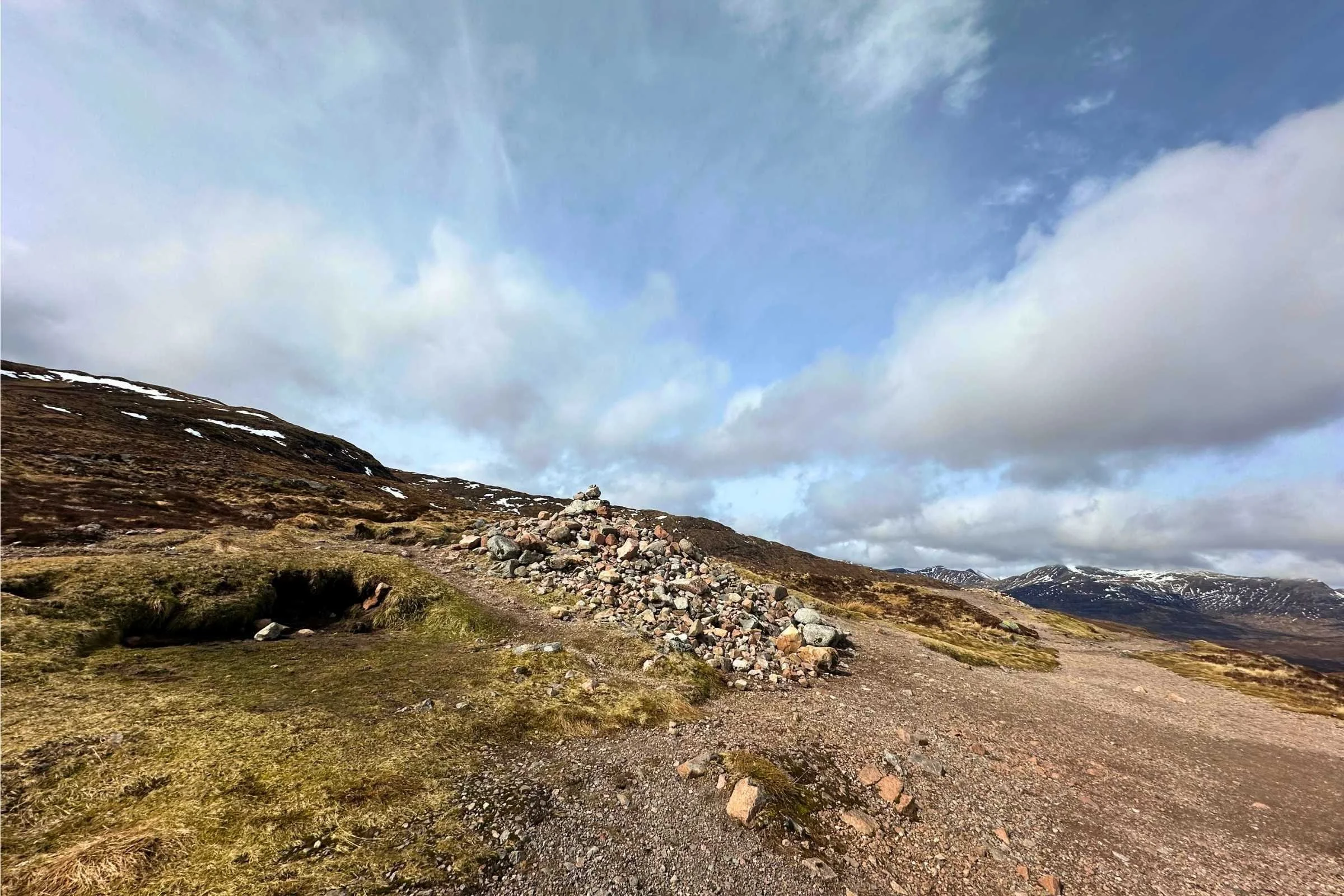
Down into Kinlochleven we descended a long and tedious-feeling gravel road, grabbing pints at the pub before resupplying at the grocery store in town and dinner at the Rice and Chippy—a combination fish and chips plus Chinese takeaway with solid portions. Wild camping outside Kinlochleven is not far, and though sparse it features some nice sites with views into the town down below.
Day 7: Kinlochleven to Fort William, 14.6 miles
The weather on this day was some of the most grueling I’d experienced on trail in a while—a full day of hard, wind-driven rain and sleet that didn't let up for a moment. Until, of course, we’d made it into the town of Glen Nevis at the base of Ben Nevis, the highest peak in the U.K. at 4413 feet, sopping wet and welcomed by a pub once again.
Recommendation: if planning to stay in Glen Nevis, book accommodations ahead of time as options are relatively limited and fill up quickly.
The terrain on this final day was expansive and exposed, intensifying the feeling of the wind and the rain. The views were still incredible, stunning sights of the clouds zooming by overhead and revealing snippets of the peaks all around. I kept my head down and out of the hail’s line of fire most of the day until the weather began to subside and behold! A rainbow… below us? I’d never seen that before and it was mind-blowingly beautiful, especially after what felt like a much longer day than the others– a nice goodbye from the highlands.
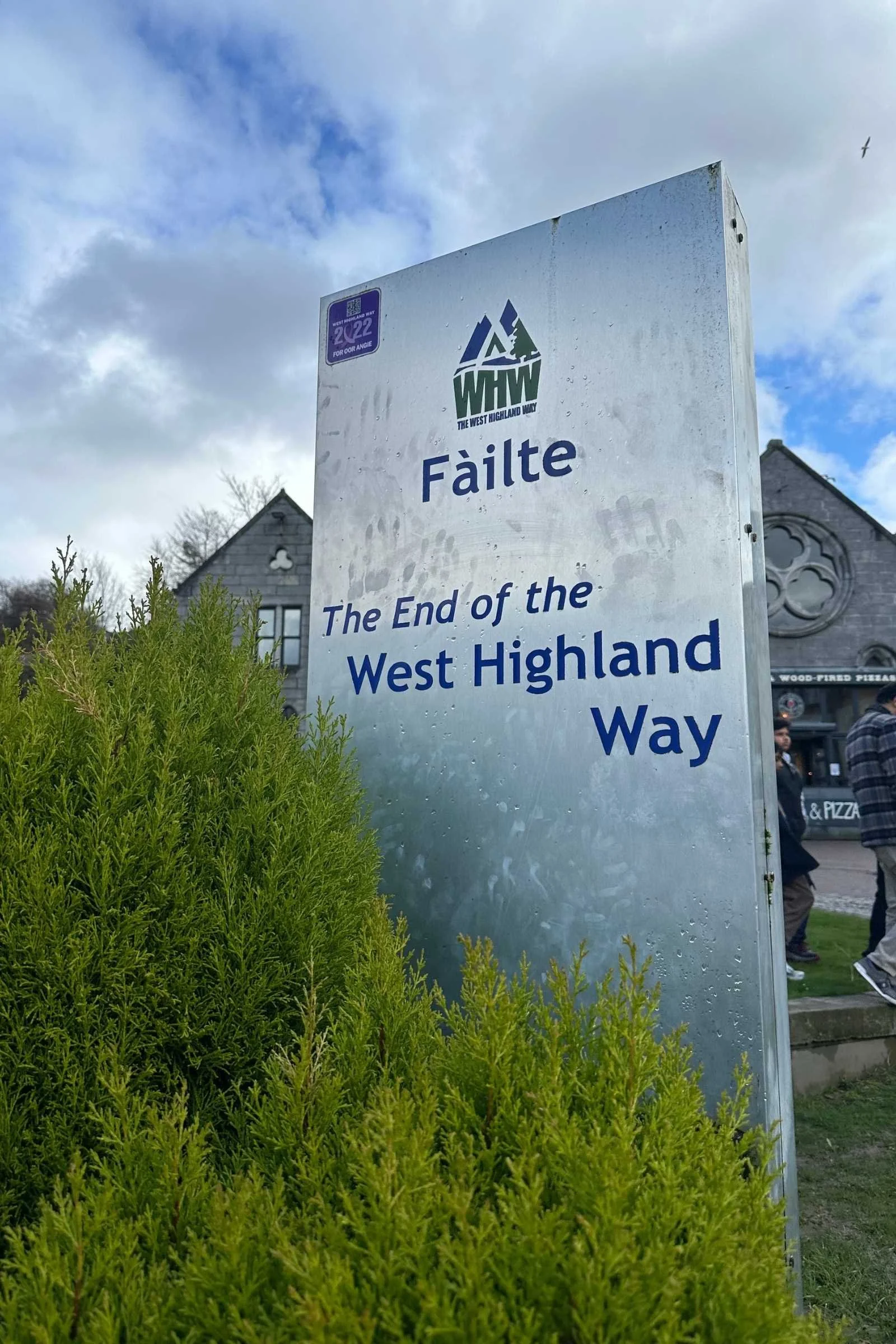
The road walk into Fort William from Glen Nevis brought one final hailstorm to bid us farewell, and the accommodation and restaurant-laden town of Fort William brought the end of the West Highland Way. 10/10, would hike again.
Navigation Resources
FarOut
My personal choice of trail guide for this hike was FarOut, an app that holds maps of many distance backpacking, hiking, walking, and bikepacking routes. Their guide features easy-to-access downloadable elevation, street, and topographical maps, with offline GPS capability and GPS-marked waypoints that provide plentiful information about everything from cafes in trail-adjacent towns to water sources and campsites directly on trail.
An advantage of FarOut is its offline commenting capabilities—up-to-date information from your fellow hikers lets you know even more about locations along the trail.
Gaia
Gaia is another popular choice among hikers of the West Highland Way. It’s another great choice for offline access to all the information you could need, and though I’ve not yet used it on trail, it’s well known and used among long-distance hikers and is a great resource to have on hand.
Maps
Physical maps of the West Highland Way are available for purchase online from a variety of sources and are a reliable pick for analog navigation of the trail.
Guidebooks
One popular guidebook for the West Highland Way is Terry Marsh’s “Walking the West Highland Way: Milngavie to Fort William, Scottish Long Distance Route” and I saw many fellow hikers carry this in favor of digital maps or GPS.
Other Apps
For travel to and from Glasgow and Fort William, Glasgow to Milngavie, and around Glasgow, the ScotRail app makes getting the right train and railway information– and your tickets themselves– a breeze.
Getting There
By Plane
Arriving by plane into Glasgow International Airport, clear signage leads to quick and reliable public transportation into Glasgow where I found accommodation for the night before starting the West Highland Way in the morning.
By Train
Several of the people I hiked with arrived from elsewhere in the U.K. by train. We all left from Glasgow Queen Street train station, after getting our tickets on the ScotRail app or from the machine in the station, for our 25-minute train ride to Milngavie with one transfer.
Bus and Shuttle Services
You can also take a bus to Milngavie from Glasgow. According to FarOut, you can take the First Glasgow's 60A, First South East, and Central Scotland's B10/C10/10A service, or the less frequent C8, to and from Milngavie and Glasgow.
Trailheads
The official start point of the West Highland Way in Milngavie is marked by an obelisk in the town square, and a sign as you turn onto the route. Milngavie is easily accessible by train or bus—see above for recommended routes.
The end point of the West Highland Way is in Fort William, also easily accessible by bus or train—or on foot! You’ll walk along a road and then through the main street in Fort William before reaching the official end point, passing the original end point between a half and a quarter mile before the current terminus.
Post Trip Favorite
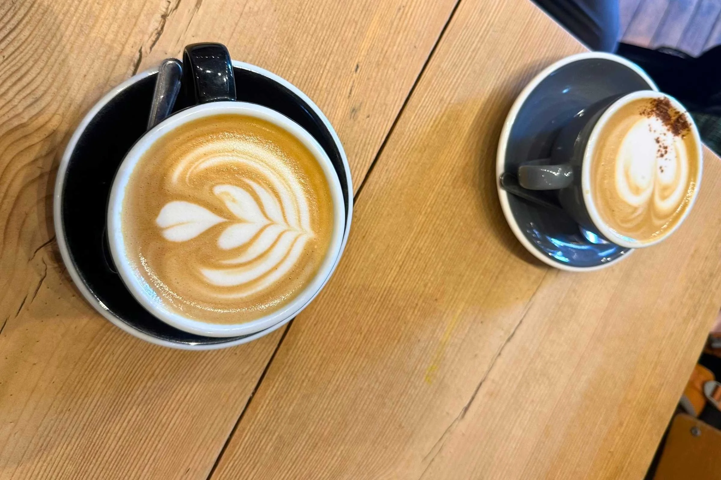
For post-trail coffee, delicious pastries and vegan breakfast, we went to Fort William’s Wildcat Cafe—twice in one day, in fact. As for our post-trail favorite restaurant, the exquisite scent emanating from Spice Tandoor in Fort William lured us in for a celebratory dinner while our laundry did its thing at the public washer/dryer outside the supermarket across town. So good that I completely neglected to take a photo despite my usual “phone eats first” tendencies. Please take my word for it—the meal was exquisitely presented and truly delicious, far fancier than backpacking fare.
Regulations
Follow Leave No Trace Ethics: in Scotland, this is known as the Scottish Outdoor Access Code and is based on the principles of respecting the environment and the other beings in it through personal responsibility
Dogs are allowed on the West Highland Way, but must be under the control of their human and follow the same rules of not worrying livestock (or fellow hikers, for that matter)
Along the majority of the West Highland Way, wild camping is permitted and there are some truly incredible camp spots out there
In the area of Loch Lomond National Park and the Trossachs, camping regulations are in place with official, low-fee paid campsites and specific regulations to protect wild spaces. The rangers here are knowledgeable and helpful to hikers looking to camp in the area, even when they roll in late
Resupply
Due to the prevalence of small grocery stores and shops in the villages along the West Highland Way, resupplying on food only takes a little advance planning. Nearly each day there’s access to either a shop that carries basic grocery items or some kind of restaurant or cafe, so it’s rare to find yourself carrying more than a day or two’s worth of food.
Resupply items are also often found at official campgrounds along the route, including at Drymen Camping and Beinglas Farm. Be sure to look ahead at the route and get food in advance of wild camping, and to make sure you've got enough for snacks and meals not available at the frequent pubs and cafes on the way.
Camping
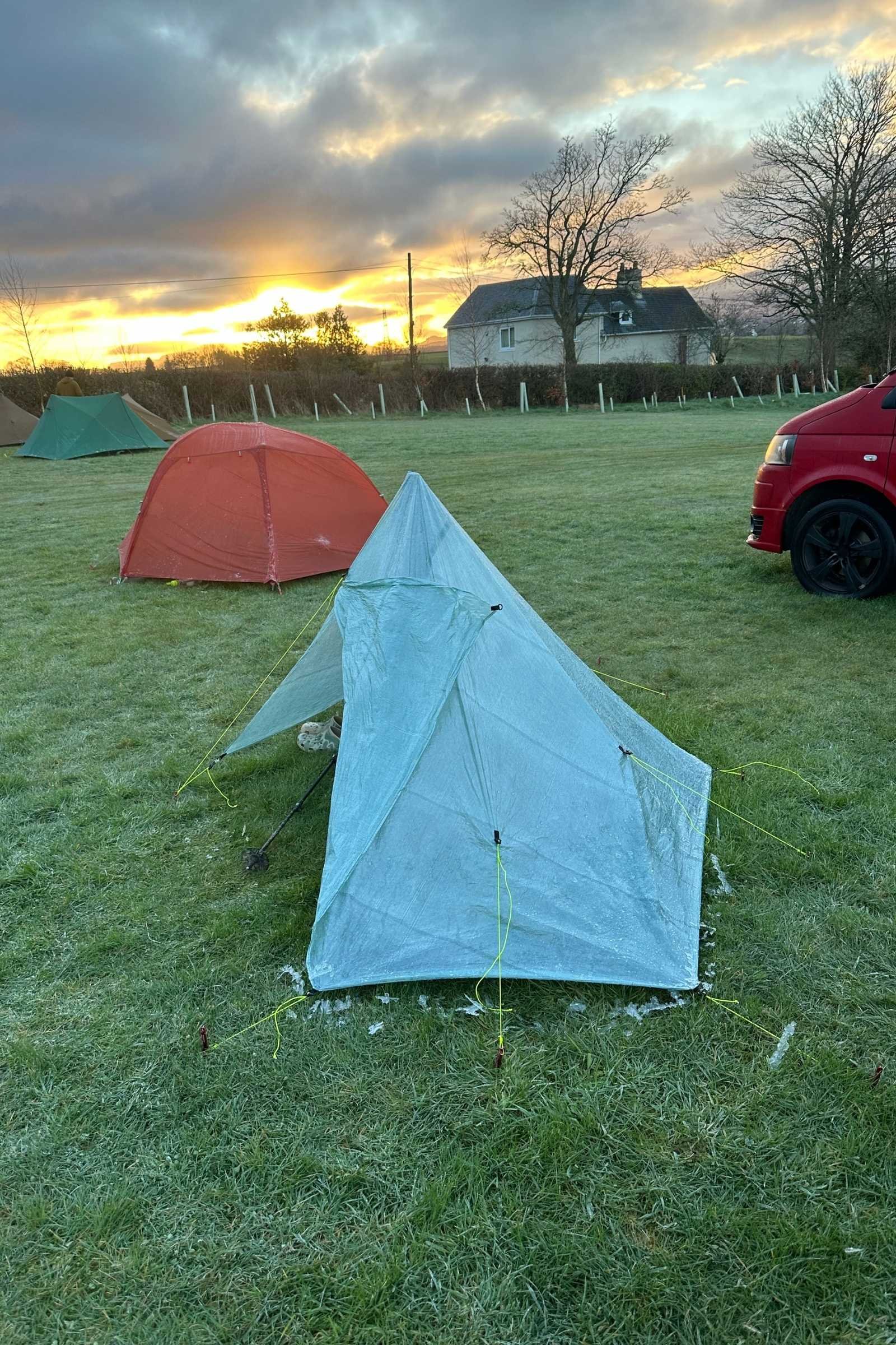
Campsites along the West Highland Way include many glorious wild camping spots, and wild camping is permitted along the majority of the trail with a few exceptions. As always, it’s important to respect the land and people around when camping—kindle no open fires, leave trees as they are, pick up after yourself, and be sure not to camp on private property such as in enclosed livestock grazing areas.
Camping bylaws are in effect from March through September in the area of Loch Lomond and the Trossachs National Park, meaning that camping is permitted only in designated sites and with a permit during those months. Additionally, there are official campgrounds in many towns along the route where tenting is permitted. In summer months, it’s best to reserve necessary camping accommodations ahead of time due to how busy the trail can be.
Water Planning
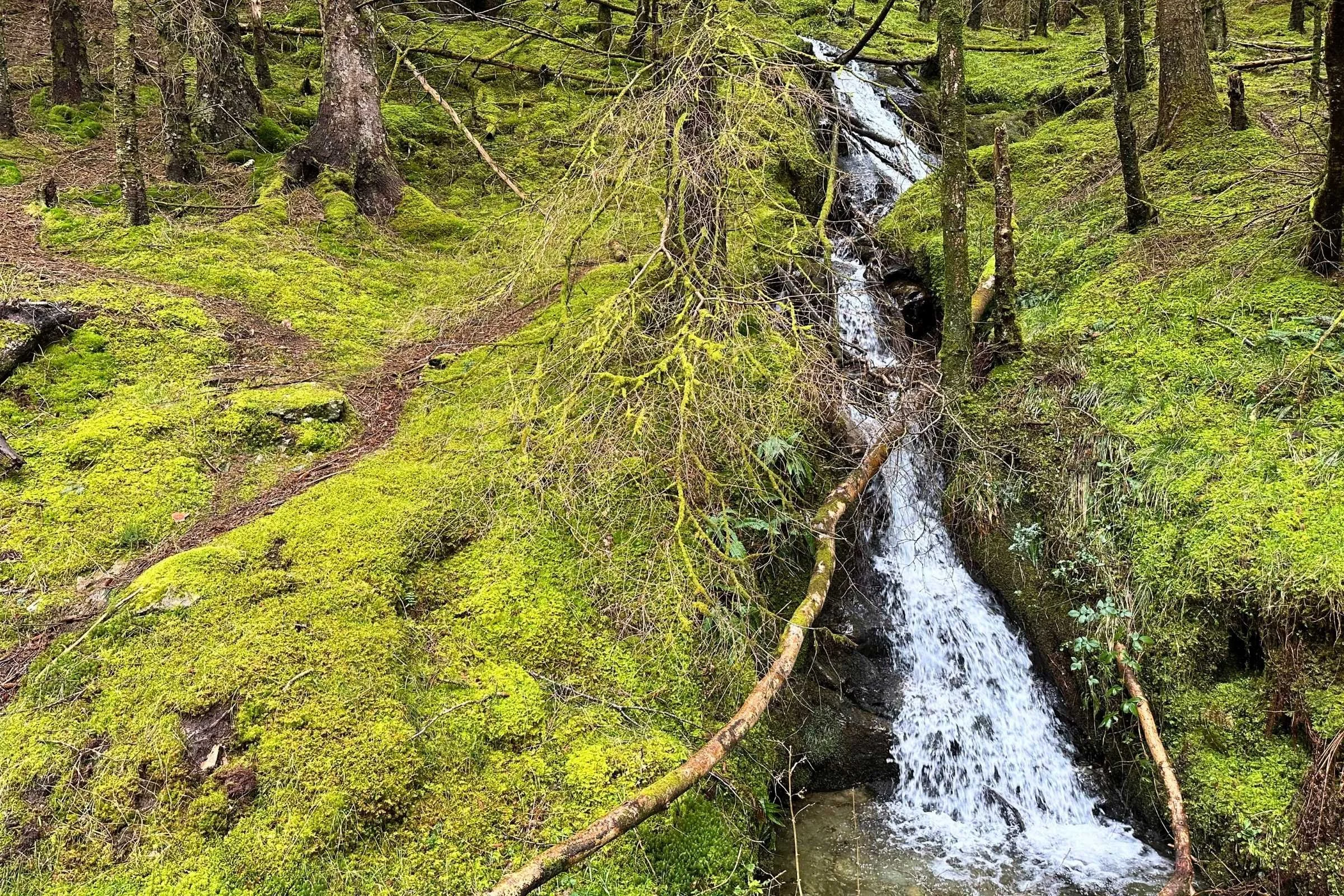
Water sources such as streams and miniature cascades right on trail are abundant throughout the entirety of the West Highland Way, so prevalence of water was not a big concern. Usually we carried only a liter or two between stops for water, and there were ample opportunities to refill bottles in the frequent towns as well. While Scotland is known for the quality of its water from potable sources in towns and cities, it’s still the right move to treat or filter water from untreated sources in the backcountry– especially throughout the livestock fields and rolling pastures of the West Highland Way, where nearly every backcountry source is exposed to livestock.
Bears and Food Storage
There are no bears along the West Highland Way—or in the U.K. at all, in fact—so food storage while wild camping along the trail is more focused on keeping mice and other rodents from chewing through food bags or worse, tents, to get your food. We were also warned not to let the wild haggis get our food. A bear canister or other hard-sided container is effective for these purposes– and keeps your food dry too.
Side Trips
Before beginning the West Highland Way, you can take urban trails and bike paths from Glasgow to Milngavie as a warm-up/extended first day. It’s also fun to spend some time in Milngavie and the resupply is chiller than in Glasgow.
One of the most popular true side quests is to summit Ben Nevis, the highest peak in the U.K., on the final day of the West Highland Way. Though the Way itself ends near the base of the mountain with stunning views upward, the call of the mountain itself is too much to resist for some motivated hikers and is another rewarding challenge to undertake if you don't want your hike to end just yet.
If you’re really not through with your thru at Fort William, you can continue onward to the East Highland Way right from the terminus of the West Highland Way! Check out our guide to the East Highland Way here.
For movie buffs, quite a few films have taken place or been filmed in locations along the trail, so some hikers seek out sets and gift shops of their favorites while walking the Way– one such film is Braveheart, or so I’m told.
Variations
The route from Milngavie to Fort William, south to north, is by far the most popular direction to walk the West Highland Way due to its more gradual increase in difficulty and in wildness of landscape. However, Fort William to Milngavie is also an option—you'd just be leaving the remote mountain passes and expansive highlands for sprawling farmland and more town-and-road-adjacent trails.
Gear Shuttles
A popular option for many walkers is to have their gear shuttled from town to town and hike the trail with a light day pack or near-empty backpacking pack. One service that offers this is Travel Lite UK. Bags can be dropped at accommodations such as bed & breakfasts or official campgrounds. While I didn't take advantage of the existence of this service, I knew many who did and they were content with their choice. Some used this service only for certain sections as well—affordability can vary, but there are certainly economical ways to utilize this service.
Some accommodations also offered slack-packing, where you’re shuttled ahead on trail and hike back to the hostel with only a day-hiking pack and then returned to that start point the next day to hike onward.
Gear Strategy
Tent
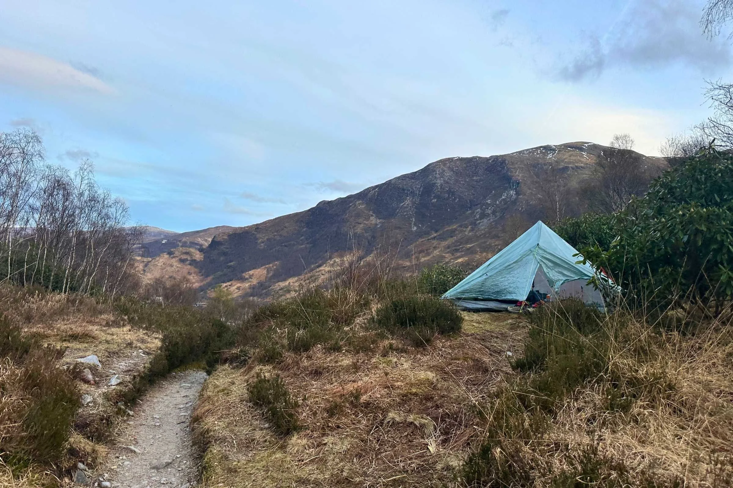
My first trail with the Zpacks Plex Solo tent was only somewhat of a success due to my serious underestimation of the condensation factor. Due to hubris, I falsely believed my method at stopping condensation would be foolproof and yet I found myself the fool and also damp nearly every morning from condensation. Oops. Double-walled would have definitely been a better move– at least then it’s just your tent that’s wet and not all its contents too.
See our Best Backpacking Tents guide for more recommendations.
Backpack
For the last two years, my primary backpacking pack has been the ULA Circuit. It’s comfortable whether I’m carrying a slight excess of food and gear or as little as possible, and with a pack liner all my gear stays dry. The one primary pocket keeps me from losing track of all my items as I am wont to do, and the outside pocket lets rain gear and snacks stay easy to access throughout the day.
See our Best Backpacking Backpacks guide for more recommendations.
Sleeping Bag
I used the UGQ 10-degree Bandit top quilt for the West Highland Way in anticipation of near-or-below freezing temps. Also overkill by a couple degrees, but I wasn't cold when the condensation on my tent walls was frozen solid, which felt like a huge win.
See our Best Sleeping Bags or Best Backpacking Quilts guides for more recommendations.
Sleeping Pad
As with any other backpacking trip, aiming for a good night's sleep is a priority. I’ve found that on colder nights, I sleep best with the most comfortable sleeping pad I’ve tried yet—the NEMO Tensor Extreme—which is a bit beefier than necessary but totally worth it to me.
See our Best Backpacking Sleeping Pads story for more recommendations.
Trekking Poles
I used the Leki Legacy Lite trekking poles on this trail because they're lightweight and reliable for daily use and for setting up a trekking pole tent. These poles won Best Aluminum Hiking Poles in our Best Trekking poles guide.
Cooking System
I used the MSR PocketRocket 2 on this trip because it's lightweight, reliable, and most importantly the only backpacking stove I own. I also used a 2L capacity Snow Peak titanium pot that was rescued from a fire pit and lovingly scrubbed with a deranged amount of Barkeepers’ Friend until it was slightly less charred. I did not need a pot this large, but temporarily misplaced my smaller one while packing for this trip. See our Best Backpacking Stoves and Best Cooking Pot guides for our recommendations.
Headlamp
I carried the Nitecore NU25 MCT UL 400-lumen headlamp which is affordable, bright, lightweight, and quick to recharge. See our recommendations in our Best Headlamps story.
Satellite Messenger
Cell reception is consistent on most of the West Highland Way, but for peace of mind when it isn't present I carried a Garmin inReach Mini 2.
You can also check out our review of the latest model, the Garmin inReach Mini 3, or our Best Personal Locator Beacon and Satellite Messenger guide for more recommendations.
Food Storage
To keep food away from wildlife, primarily rodents, I tried an Ursack AllMitey. As with other Ursacks, it weighs much more when wet, which, despite knowing, I did not foresee being as annoying as it was. Next time, I’d use a small bear canister—there are places to resupply nearly every day so the food carry is never too heavy. That said, nothing ever chewed through the Ursack, so that's a win.
Water Filter
For water filtration, I carried a Sawyer Squeeze filter and Cnoc water bladder which served me well, as that combination always has. Check out our guide to the Best Water Filters and Purifiers for Backpacking.
Potty trowel and toilet kit
I carried a The Deuce mini trowel which is great for digging effective catholes, though only needed it a couple times due to how frequent bathrooms with *thru-hiker gasp* flushing toilets are in establishments along the trail. Check out our guide to backpacking trowels for more information.
Scraper/spatula
One of my favorite pieces of gear is the GSI Outdoors Compact Scraper– it makes cleaning up backcountry cooking so much easier and negates almost all the grossest parts of cleanup.
What to wear
Shoes or Boots
I wore the Altra Olympus 5s for this trip. Due to user error in storing them for the winter, they delaminated a bit while on trail but remained very wearable and comfortable despite their faster than anticipated breakdown. Check out our in-depth review of the Altra Olympus 6 trail running shoes to learn more.
A greater number of hikers opted for boots over trail runners– I occasionally wondered if I should have done the same and gone for my trusty Lowa Renegades, especially with the frequent mud and humid, low temperatures where things just don’t dry like one might want.
For more recommendations, see our Best Trail Running Shoes story.
If you’re more of a boot person, check out our Best Hiking Boots story or our Best Lightweight Hiking Boots story.
Rain Jacket
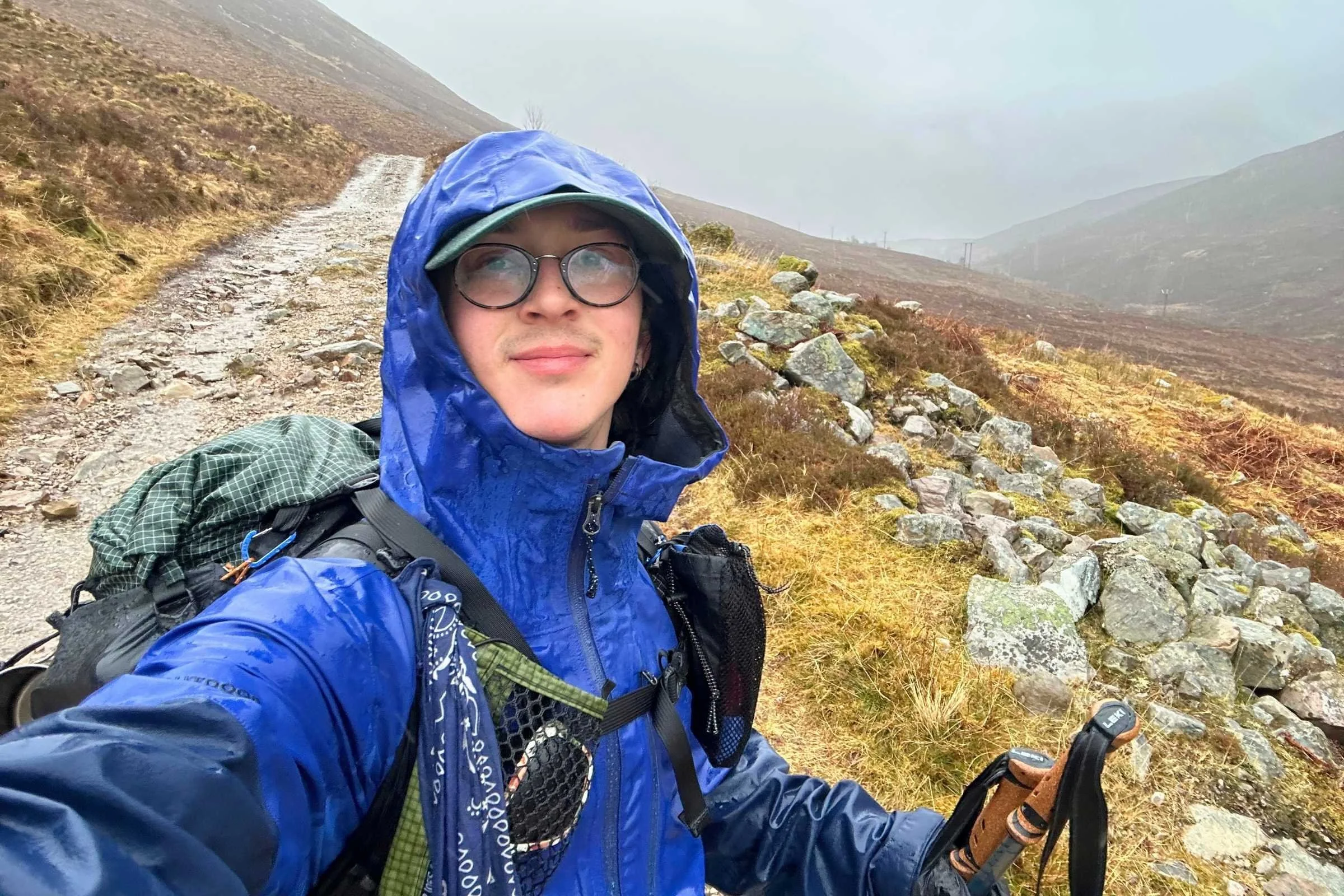
I used the Outdoor Research Foray 3L rain jacket on this trip because of its consistent water-and-windproofing and overall ability to keep me dry and warm enough to go on in the windiest and rainiest conditions. I also anticipated some hail and wanted more shielding than an ultralight jacket can offer (which was a good call for the time of year I hiked).
For more recommendations, see our Best Rain Jackets article.
Rain Pants
For rain pants, which I anticipated using less frequently than my rain jacket, I took the Outdoor Research Helium UL rain pants and found them mostly adequate, except on the coldest and windiest day—our last day on trail—where they ceased to effectively keep me warm around the second hour of hiking.
See our guide to Best Rain Pants for other options.
Down Insulating Jacket
The Mountain Hardwear Ghost Whisperer Hoody was great for this trail because it’s got an excellent warmth-to-weight ratio and with a quilt, beanie, and down jacket hood combination, I sleep super warm when the conditions are super not warm. Due to the losing battle I fought with condensation in my tent at night, when I primarily wore my puffy, it might have been wiser to bring a synthetic layer instead.
See our recommendations in our Best Synthetic Jackets article. If you prefer down for its better warmth-to-weight ratio, check out our Best Down Jackets guide.
Fleece or Midlayer
The Sambob Microgrid Hoodie was one of my favorite pieces of gear on this trip because it's warm, light, breathable, and comes in fun custom colors. It's an adored gear item and I relish opportunities where the conditions are right for it. This hoodie was the perfect midlayer for hiking on colder days, and sleeping.
Check out our Best Fleece Jackets and Best Midlayers guides for more options.
Sun Shirt
I used the Outdoor Research Echo Sun Hoodie on the West Highland Way because it’s the fastest drying and lightest full-coverage sun hoodie I have. In humid conditions, it’s my favorite shirt to hike in. See our Best Sun Shirts guide for more recommendations.
Hiking Pants
My current favorite hiking pants are the Mountain Hardwear Stryder pants, which I wore for the Way. They’re light and breezy while remaining a good enough windbreaker for warm-ish weather.
See our guides to the Best Women's Hiking Pants and Best Men's Hiking Pants for more recommendations.
Gaiters
To help keep debris and mud out of my shoes and socks, I used Dirty Girl gaiters because they're lightweight and generally effective– they also dry out fast. See our best hiking gaiters guide for more recommendations.
Base Layer
For base layers, I used an Outdoor Research Echo t-shirt and REI Co-op Merino 185 base layer bottoms. For more recommendations, see our Best Base Layers guide and Best Base Layer Bottoms guide.
Hiking Socks
I rotated between three pairs of Darn Tough Micro Crew Midweight Hiking Socks for this trip– it’s been my method for about three thousand trail miles and hasn't failed me yet. Check our Best Hiking Socks guide for more recommendations.
Warm Hat
I used an L.L.Bean Beanie as my warm hat for the West Highland Way. It was my main hat while working as a ridgerunner in the Bigelows in Maine, which can also be quite cold and wet.
Sun Hat
For the occasional sun and more frequently, to keep the rain off my glasses, I used a regular baseball cap that usually lives in my car.
Check out our Best Sun Hats guide or Best Running Hats for more recommendations.
Gloves or Mittens
One item my fingers and I are glad I had were gloves and rain mitts—a combination I hadn't yet tried backpacking but that worked so well for snowshoeing in precipitation I figured it would work on the West Highland Way too. I used Zpacks Vertice Rain Mitts yoinked from a hiker box somewhere along the Colorado Trail over Carhartt Stretch Liner gloves, and any light-ish liner glove would have worked just as well.
For more recommendations on lightweight but warm gloves, see our Best Winter Gloves guide.
Miscellaneous Gear Items
First Aid Kit
Several random cuts, a few blisters, and some minor gastrointestinal upset from day after day of (delicious) meat pies and dairy products later, I was once again grateful for having brought my first aid kit with its vast array of remedies and potions (for example, Leukotape and Pepto Bismol).
Sun Protection
Despite how rainy and wet the trail was, I still somehow got a lot of sun, especially on good-weather days in the Highlands. I was grateful to have been wearing sunscreen each day and still found myself a wee bit crispy by the end.
Pocket Knife
Great for a variety of little tasks, including but not limited to divvying up backcountry breakfast tattie scones with jam or a new block of cheese in each town.
Other items
The Zpacks Airplane Case was a gift from a friend and I took it for its first spin on trail for the WHW. No regrets—for checking my backpacking pack and keeping it protected during transport, this Dyneema Composite Fabric bag held up great and my pack emerged from being checked in the same condition it went in. Yay! It was also an excellent dry bag for keeping all my stuff safe from the Scottish rain, and as effective as a contractor bag but ideally longer lasting.
Why you should trust us / About the Author
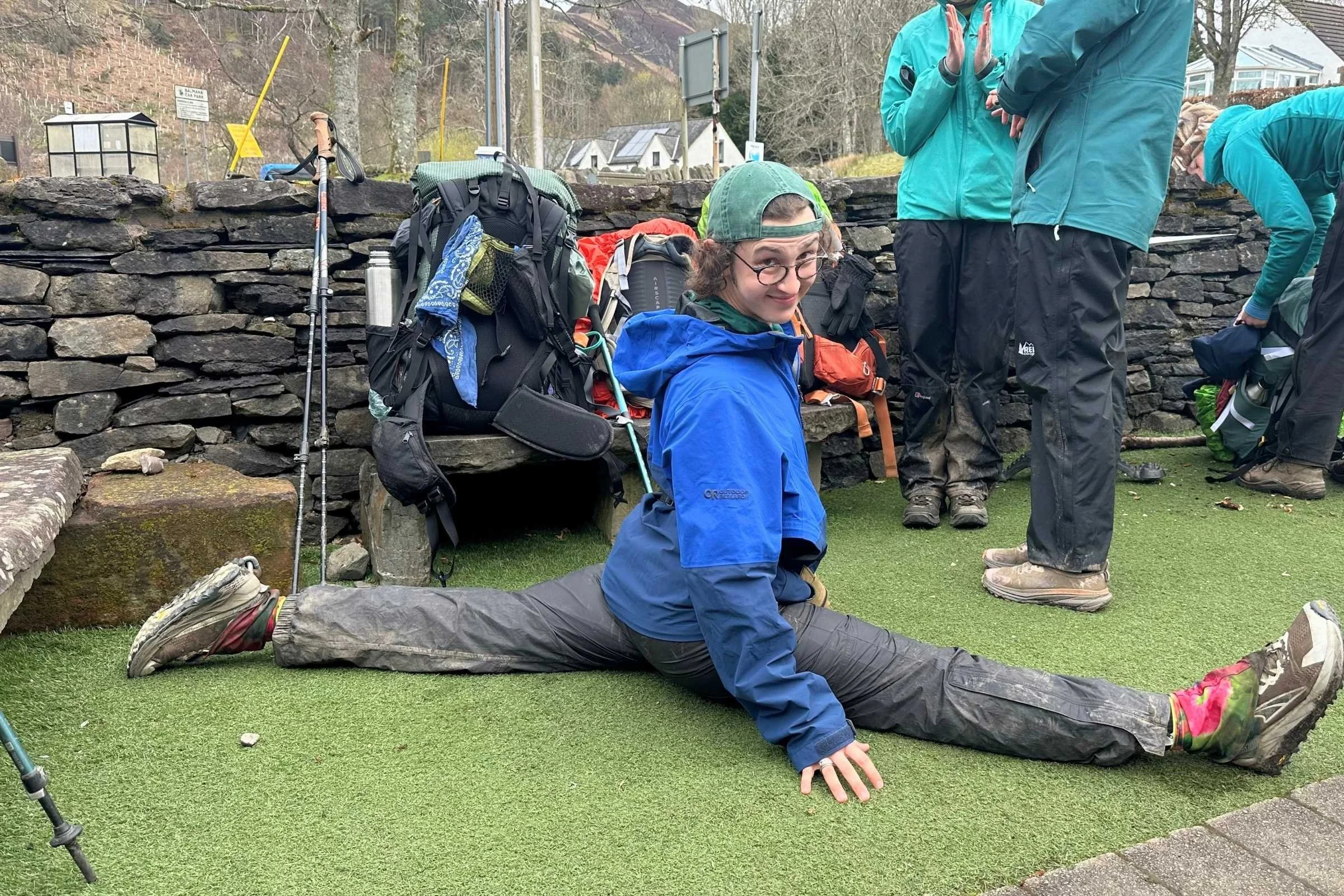
Elliot Koeppel is from New York and graduated from Tufts University with a B.A. in History in 2023. He began his six-month thru-hike (and first-ever backpacking trip) of the Appalachian Trail the next week.
Since then, he’s hiked the Colorado Trail and West Highland Way, and worked on the Appalachian Trail in southwest Virginia. He is currently in his second year as the ridgerunner in the Bigelow Mountain section of the Appalachian Trail in Maine, where he spends most of his time clambering up and down summits collecting garbage and chatting with hikers. In winter he can be found cooking at a backcountry ski and snowshoe hut in Maine near the Bigelows.
Koeppel has been testing a range of thru-hiking apparel and rain gear for Treeline Review since 2023. In his free time, you can find him hiking, rockhounding, making jewelry, or listening to Van Halen– David Lee Roth era.
See all of Elliot’s stories on his author page.